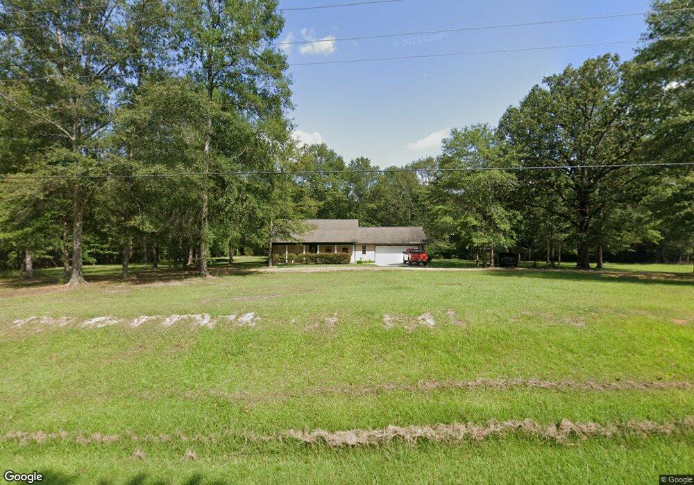
1056 Lott Smith Rd Wesson, MS 39191
Estimated Value: $163,556 - $165,000
Studio
--
Bath
1,700
Sq Ft
$97/Sq Ft
Est. Value
About This Home
This home is located at 1056 Lott Smith Rd, Wesson, MS 39191 and is currently estimated at $164,278, approximately $96 per square foot. 1056 Lott Smith Rd is a home.
Ownership History
Date
Name
Owned For
Owner Type
Purchase Details
Closed on
May 29, 2024
Sold by
Fore Richard C
Bought by
Martin Rodney Alton and Martin Penny
Current Estimated Value
Home Financials for this Owner
Home Financials are based on the most recent Mortgage that was taken out on this home.
Original Mortgage
$182,631
Outstanding Balance
$180,006
Interest Rate
6.75%
Mortgage Type
FHA
Estimated Equity
-$15,728
Purchase Details
Closed on
Mar 5, 2024
Sold by
Fore Richard C
Bought by
Fore Richard C
Purchase Details
Closed on
Feb 5, 2024
Sold by
Fore Richard C
Bought by
Fore Richard C
Create a Home Valuation Report for This Property
The Home Valuation Report is an in-depth analysis detailing your home's value as well as a comparison with similar homes in the area
Purchase History
| Date | Buyer | Sale Price | Title Company |
|---|---|---|---|
| Martin Rodney Alton | -- | None Listed On Document | |
| Fore Richard C | -- | None Listed On Document | |
| Fore Richard C | -- | None Listed On Document |
Source: Public Records
Mortgage History
| Date | Status | Borrower | Loan Amount |
|---|---|---|---|
| Open | Martin Rodney Alton | $182,631 |
Source: Public Records
Tax History
| Year | Tax Paid | Tax Assessment Tax Assessment Total Assessment is a certain percentage of the fair market value that is determined by local assessors to be the total taxable value of land and additions on the property. | Land | Improvement |
|---|---|---|---|---|
| 2025 | $1,618 | $11,351 | $0 | $0 |
| 2024 | $16 | $14,613 | $0 | $0 |
| 2023 | $1,638 | $14,615 | $0 | $0 |
| 2022 | $1,657 | $14,615 | $0 | $0 |
| 2021 | $1,598 | $14,538 | $0 | $0 |
| 2020 | $1,585 | $14,048 | $0 | $0 |
| 2019 | $1,607 | $14,049 | $0 | $0 |
| 2018 | $1,586 | $14,049 | $0 | $0 |
| 2017 | $1,532 | $14,048 | $0 | $0 |
| 2016 | $1,532 | $13,842 | $0 | $0 |
| 2015 | -- | $13,839 | $0 | $0 |
| 2014 | -- | $13,838 | $0 | $0 |
Source: Public Records
Map
Nearby Homes
- 057 Wesson Game Ln
- 2038 Rocky Hill Rd
- 596 Mount Zion Rd
- 589 Mount Zion Rd
- 594 Mount Zion Rd
- TBD Poplar Ridge Ln NW
- Poplar Ridge Ln
- 3050 James Dr NW
- 0 Boyd Trail NW
- 0 Sawders Ln
- 2422 Boyd Trail NW
- 1001 Lumley Ln
- 2774 Loyd Star Ln NW
- 0 David Britt St
- 1079 Beech St
- 0 Linwood Ln NE
- 4069 Dixie Rd
- 2228 Old Red Star Dr NW
- 0 00 Milltowne Dr
- 1119 Milltowne Dr
- 1057 Lott Smith Rd
- 000 Lott Smith Rd
- 0 Lott Smith Rd Unit 116199
- 1065 Lott Smith Rd
- 1047 Lott Smith Rd
- 1099 Lott Smith Rd
- 1015 Lott Smith Rd
- 1002 Lott Smith Rd
- 1005 Lott Smith Rd
- 1 Lott Smith
- 885 Lott Smith Rd NW
- 1138 Lott Smith Rd
- 880 Lott Smith Rd NW
- 3830 Faye Ln
- 1032 Pine Lake Ln
- 895 Lott Smith Rd NW
- 3807 Faye Ln
- 1018 Pine Lake Ln
- 0 Lott Smith Rd
- 6014 Watson Rd
Your Personal Tour Guide
Ask me questions while you tour the home.