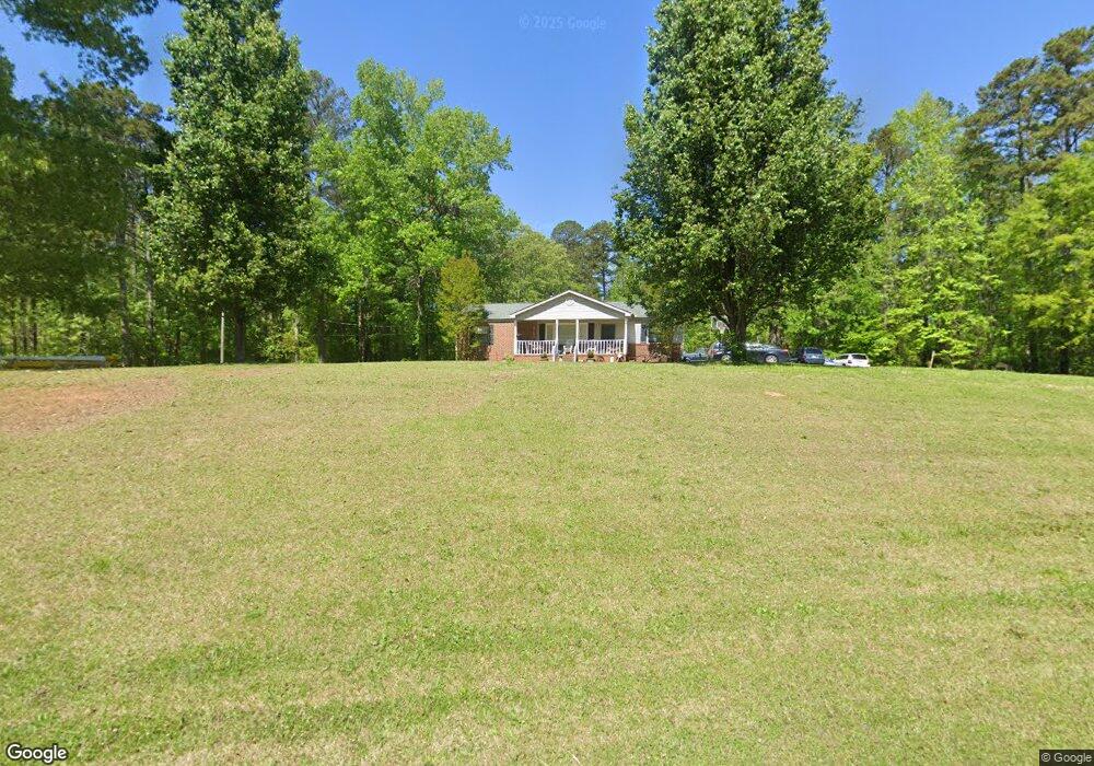
1056 Malier Rd Hampton, GA 30228
Spalding County NeighborhoodEstimated Value: $203,000 - $338,000
3
Beds
2
Baths
1,670
Sq Ft
$159/Sq Ft
Est. Value
About This Home
This home is located at 1056 Malier Rd, Hampton, GA 30228 and is currently estimated at $266,105, approximately $159 per square foot. 1056 Malier Rd is a home located in Spalding County with nearby schools including Beaverbrook Elementary School, Cowan Road Middle School, and Griffin High School.
Ownership History
Date
Name
Owned For
Owner Type
Purchase Details
Closed on
Jun 16, 2008
Sold by
Shiflett Monte S
Bought by
Grubb Bill J and Grubb Roberta J
Current Estimated Value
Home Financials for this Owner
Home Financials are based on the most recent Mortgage that was taken out on this home.
Original Mortgage
$131,600
Outstanding Balance
$83,296
Interest Rate
6.04%
Mortgage Type
New Conventional
Estimated Equity
$182,809
Purchase Details
Closed on
May 12, 1986
Sold by
Shiflett Reginald
Bought by
Shiflett Reginald and Shiflett Nancy P
Purchase Details
Closed on
Dec 1, 1968
Sold by
Shiflett Newton and Shiflett Lucille V
Bought by
Shiflett Reginald
Purchase Details
Closed on
Sep 1, 1963
Sold by
Shiflett Newton and Shiflett Lucille V
Bought by
Shiflett Reginald
Purchase Details
Closed on
Feb 11, 1950
Bought by
Shiflett Newton and Shiflett Lucille V
Create a Home Valuation Report for This Property
The Home Valuation Report is an in-depth analysis detailing your home's value as well as a comparison with similar homes in the area
Home Values in the Area
Average Home Value in this Area
Purchase History
| Date | Buyer | Sale Price | Title Company |
|---|---|---|---|
| Grubb Bill J | $164,500 | -- | |
| Shiflett Reginald | -- | -- | |
| Shiflett Reginald | -- | -- | |
| Shiflett Reginald | -- | -- | |
| Shiflett Newton | -- | -- |
Source: Public Records
Mortgage History
| Date | Status | Borrower | Loan Amount |
|---|---|---|---|
| Open | Grubb Bill J | $131,600 |
Source: Public Records
Tax History
| Year | Tax Paid | Tax Assessment Tax Assessment Total Assessment is a certain percentage of the fair market value that is determined by local assessors to be the total taxable value of land and additions on the property. | Land | Improvement |
|---|---|---|---|---|
| 2025 | $2,220 | $62,066 | $20,592 | $41,474 |
| 2024 | $2,223 | $62,066 | $20,592 | $41,474 |
| 2023 | $2,170 | $59,670 | $20,592 | $39,078 |
| 2022 | $1,748 | $48,075 | $15,048 | $33,027 |
| 2021 | $1,589 | $43,699 | $15,048 | $28,651 |
| 2020 | $1,595 | $43,699 | $15,048 | $28,651 |
| 2019 | $1,627 | $43,699 | $15,048 | $28,651 |
Source: Public Records
Map
Nearby Homes
- 348 School Rd
- 11899 Conrad Cir
- 3330 Highway 3 N
- 466 & 472 Minter Dr
- 295 Hillview Rd
- 2987 Steele Rd
- 1690 Patterson Rd
- 1980 Kilgore Rd
- 159 Arnold Rd
- 1100 Patterson Rd
- 4454 Georgia Highway 3
- 175 Mobley Rd
- 1060 Patterson Rd
- 136 Harrison Place
- 212 Hedgewood Dr
- 360 Floyd Rd
- 215 Mobley Rd
- 301 Othello Dr
- 165 Lake Hampton Dr
- 541 Hamlet Dr
Your Personal Tour Guide
Ask me questions while you tour the home.