1056 W Prairie Rd Midland, MI 48640
Estimated Value: $228,000 - $301,000
--
Bed
--
Bath
1,512
Sq Ft
$169/Sq Ft
Est. Value
About This Home
This home is located at 1056 W Prairie Rd, Midland, MI 48640 and is currently estimated at $254,989, approximately $168 per square foot. 1056 W Prairie Rd is a home located in Midland County with nearby schools including Bullock Creek High School and Academic & Career Education Academy.
Ownership History
Date
Name
Owned For
Owner Type
Purchase Details
Closed on
Jun 16, 2021
Sold by
Stephens Christopher A and Stephens Heather
Bought by
Frusti Gene A and Frusti Lori
Current Estimated Value
Home Financials for this Owner
Home Financials are based on the most recent Mortgage that was taken out on this home.
Original Mortgage
$132,000
Outstanding Balance
$100,222
Interest Rate
2.9%
Mortgage Type
New Conventional
Estimated Equity
$154,767
Purchase Details
Closed on
Feb 2, 2012
Sold by
Cc & P Developers Llc
Bought by
Stephens Christopher A and Stephens Heather
Purchase Details
Closed on
Aug 27, 2008
Sold by
Cc&P Developers Inc
Bought by
Stephens Christopher A
Purchase Details
Closed on
Aug 26, 2008
Sold by
Ireland Claude B and Ireland Mildred M H
Bought by
Cc&P Developers, Inc
Create a Home Valuation Report for This Property
The Home Valuation Report is an in-depth analysis detailing your home's value as well as a comparison with similar homes in the area
Home Values in the Area
Average Home Value in this Area
Purchase History
| Date | Buyer | Sale Price | Title Company |
|---|---|---|---|
| Frusti Gene A | $165,000 | None Available | |
| Frusti Gene A | $165,000 | None Listed On Document | |
| Stephens Christopher A | $12,150 | -- | |
| Stephens Christopher A | $32,850 | -- | |
| Stephens Christopher A | $45,000 | -- | |
| Cc&P Developers, Inc | $32,500 | -- |
Source: Public Records
Mortgage History
| Date | Status | Borrower | Loan Amount |
|---|---|---|---|
| Open | Frusti Gene A | $132,000 | |
| Closed | Frusti Gene A | $132,000 |
Source: Public Records
Tax History Compared to Growth
Tax History
| Year | Tax Paid | Tax Assessment Tax Assessment Total Assessment is a certain percentage of the fair market value that is determined by local assessors to be the total taxable value of land and additions on the property. | Land | Improvement |
|---|---|---|---|---|
| 2025 | $3,080 | $115,100 | $0 | $0 |
| 2024 | $990 | $102,000 | $0 | $0 |
| 2023 | $943 | $92,900 | $0 | $0 |
| 2022 | $2,917 | $79,500 | $0 | $0 |
| 2021 | $2,320 | $73,100 | $0 | $0 |
| 2020 | $2,171 | $72,400 | $0 | $0 |
| 2019 | $2,098 | $68,400 | $68,400 | $0 |
| 2018 | $2,075 | $67,900 | $67,900 | $0 |
| 2017 | $2,027 | $62,300 | $62,300 | $0 |
| 2016 | $1,987 | $61,600 | $61,600 | $0 |
| 2014 | -- | $73,000 | $73,000 | $0 |
Source: Public Records
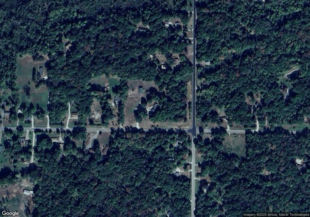
Map
Nearby Homes
- 1055 W Isabella Rd
- 601 W Isabella Rd
- 183 S 9 Mile Rd
- 654 W Isabella Rd
- 132 N Nine Mile Rd
- 460 W Isabella Rd
- V/L W Stewart Rd
- 1987 W Isabella Rd
- 1780 S 10 Mile Rd
- 296 W Gordonville Rd
- 102 E Isabella Rd
- 1448 W Sian Dr
- 456 E Chippewa River Rd
- VL W Pine River Rd
- 247 N Five Mile Rd
- 2356 W Olson Rd
- V/L75 W Short Rd
- 2560 W K-Bar-l Dr
- 116 S Westlawn Dr
- 0 W Short Rd Unit 25026044
- 1080 W Prairie Rd
- 1084 W Prairie Rd
- 1083 W Prairie Rd
- 1118 W Prairie Rd
- 512 S 8 Mile Rd
- 528 S 8 Mile Rd
- 460 S 8 Mile Rd
- 540 S 8 Mile Rd
- 1125 W Prairie Rd
- 509 S 8 Mile Rd
- 400 S 8 Mile Rd
- 483 S 8 Mile Rd
- 550 S 8 Mile Rd
- 550 S 8 Mile Rd
- 531 S 8 Mile Rd
- 996 W Prairie Rd
- 1132 W Prairie Rd
- 428 S 8 Mile Rd
- 477 S 8 Mile Rd
- 1122 W Prairie Rd