10561 Field Ave Colfax, IA 50054
Estimated Value: $458,548
--
Bed
--
Bath
8,160
Sq Ft
$56/Sq Ft
Est. Value
About This Home
This home is located at 10561 Field Ave, Colfax, IA 50054 and is currently estimated at $458,548, approximately $56 per square foot. 10561 Field Ave is a home located in Jasper County with nearby schools including Colfax-Mingo Elementary School and Colfax-Mingo High School.
Ownership History
Date
Name
Owned For
Owner Type
Purchase Details
Closed on
May 9, 2005
Sold by
Icu Paintball Worgamz Inc
Bought by
Blanchard Richard L and Blanchard Jeda J
Current Estimated Value
Home Financials for this Owner
Home Financials are based on the most recent Mortgage that was taken out on this home.
Original Mortgage
$185,600
Outstanding Balance
$98,569
Interest Rate
6.13%
Mortgage Type
FHA
Estimated Equity
$359,979
Create a Home Valuation Report for This Property
The Home Valuation Report is an in-depth analysis detailing your home's value as well as a comparison with similar homes in the area
Home Values in the Area
Average Home Value in this Area
Purchase History
| Date | Buyer | Sale Price | Title Company |
|---|---|---|---|
| Blanchard Richard L | $232,000 | None Available |
Source: Public Records
Mortgage History
| Date | Status | Borrower | Loan Amount |
|---|---|---|---|
| Open | Blanchard Richard L | $185,600 |
Source: Public Records
Tax History Compared to Growth
Tax History
| Year | Tax Paid | Tax Assessment Tax Assessment Total Assessment is a certain percentage of the fair market value that is determined by local assessors to be the total taxable value of land and additions on the property. | Land | Improvement |
|---|---|---|---|---|
| 2025 | $2,362 | $160,500 | $15,000 | $145,500 |
| 2024 | $2,362 | $155,260 | $15,000 | $140,260 |
| 2023 | $2,300 | $155,260 | $15,000 | $140,260 |
| 2022 | $2,390 | $126,650 | $15,000 | $111,650 |
| 2021 | $2,588 | $154,820 | $15,900 | $138,920 |
| 2020 | $2,588 | $154,820 | $15,900 | $138,920 |
| 2019 | $2,802 | $154,820 | $0 | $0 |
| 2018 | $2,802 | $154,820 | $0 | $0 |
| 2017 | $2,750 | $164,680 | $0 | $0 |
| 2016 | $2,990 | $164,680 | $0 | $0 |
| 2015 | $2,988 | $0 | $0 | $0 |
| 2014 | $3,318 | $0 | $0 | $0 |
Source: Public Records
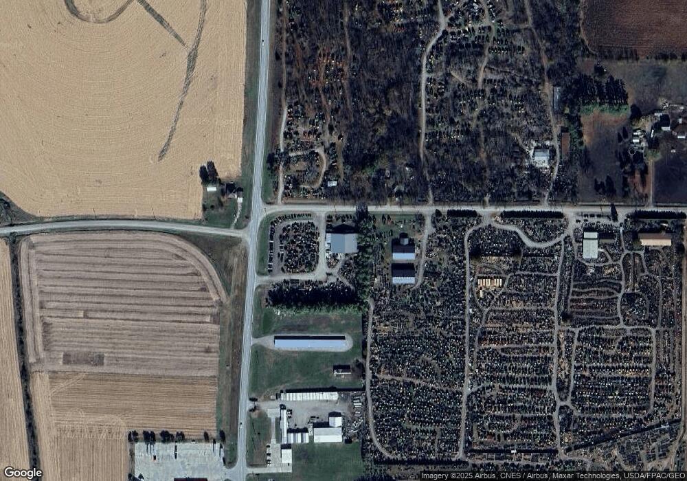
Map
Nearby Homes
- HWY 117 at Intersection of Fleet Ave
- 11213 Orchard Ave
- 300 E Front St
- 200 Jefferson St
- 108 N West St
- 0000 Lincoln St
- 119 W Washington St
- 108 S Walnut St
- 20 S Oak Park Ave
- 655 E Division St
- 34 E Broadway St
- 222 E Broadway St
- 223 W Broadway St
- 501 W Broadway St
- 226 S Iowa St
- 215 W Spring St
- W 120th St S
- 00 W 120th St S
- 400 S Goodrich St
- 0 W 120th St S
- 10580 Field Ave
- 4 Iowa 117
- 10525 Field Ave
- 10544 Field Ave
- 5 Iowa 117
- 10614 Fleet Ave
- 10492 Field Ave
- 10447 Field Ave
- 1407 N Walnut St
- 522 N Walnut St
- 10426 Field Ave
- 1403 N Walnut St
- 1403 N Walnut St
- 10824 Fleet Ave
- 10200 Field Ave
- 10215 Field Ave
- 10178 Field Ave
- 0000 Orchard Ave
- 10177 Field Ave
- 0 Interstate 80