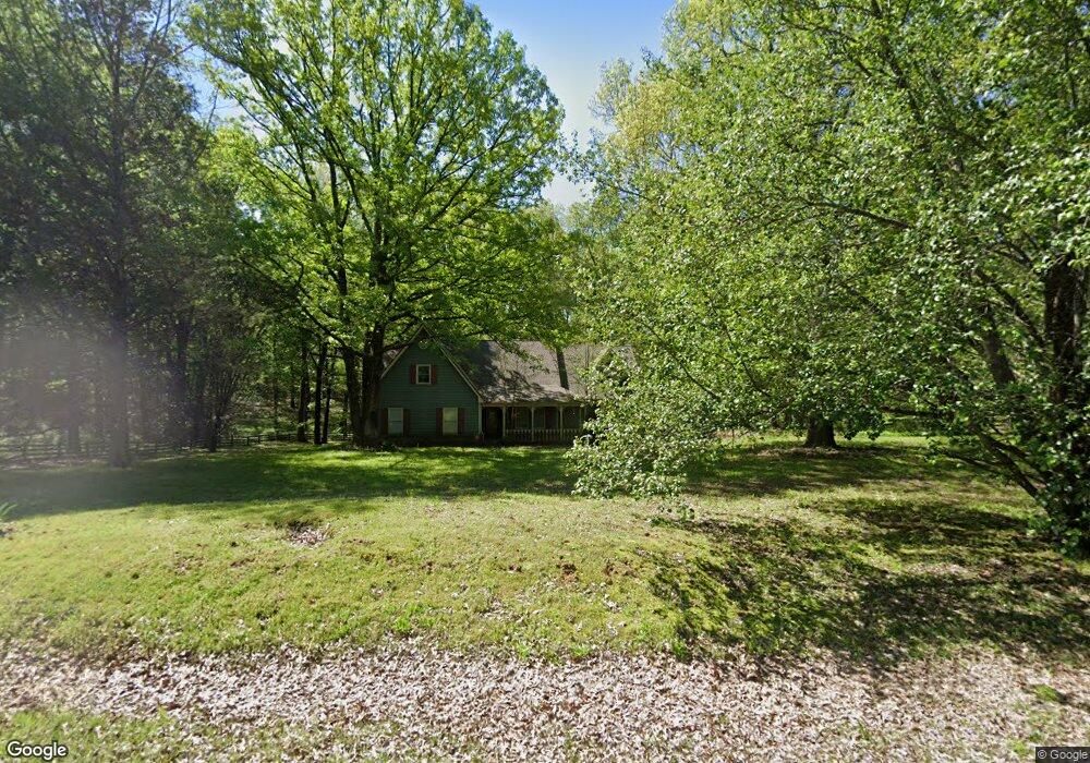
10563 Jared Michael Ln Cordova, TN 38016
Gray's Creek NeighborhoodEstimated Value: $463,000 - $542,000
4
Beds
3
Baths
4,655
Sq Ft
$110/Sq Ft
Est. Value
About This Home
This home is located at 10563 Jared Michael Ln, Cordova, TN 38016 and is currently estimated at $511,848, approximately $109 per square foot. 10563 Jared Michael Ln is a home located in Shelby County with nearby schools including Macon-Hall Elementary School, Mt. Pisgah Middle School, and Bolton High School.
Ownership History
Date
Name
Owned For
Owner Type
Purchase Details
Closed on
Feb 27, 2004
Sold by
Ticer Albert J and Ticer Sharon Lyn
Bought by
Sanders Jerry F and Drompp Michael R
Current Estimated Value
Home Financials for this Owner
Home Financials are based on the most recent Mortgage that was taken out on this home.
Original Mortgage
$226,000
Outstanding Balance
$104,586
Interest Rate
5.53%
Mortgage Type
Purchase Money Mortgage
Estimated Equity
$407,262
Create a Home Valuation Report for This Property
The Home Valuation Report is an in-depth analysis detailing your home's value as well as a comparison with similar homes in the area
Home Values in the Area
Average Home Value in this Area
Purchase History
| Date | Buyer | Sale Price | Title Company |
|---|---|---|---|
| Sanders Jerry F | $315,000 | -- |
Source: Public Records
Mortgage History
| Date | Status | Borrower | Loan Amount |
|---|---|---|---|
| Open | Sanders Jerry F | $226,000 |
Source: Public Records
Tax History Compared to Growth
Tax History
| Year | Tax Paid | Tax Assessment Tax Assessment Total Assessment is a certain percentage of the fair market value that is determined by local assessors to be the total taxable value of land and additions on the property. | Land | Improvement |
|---|---|---|---|---|
| 2025 | $3,485 | $129,025 | $41,650 | $87,375 |
| 2024 | -- | $102,800 | $41,650 | $61,150 |
| 2023 | $3,485 | $102,800 | $41,650 | $61,150 |
| 2022 | $3,485 | $102,800 | $41,650 | $61,150 |
| 2021 | $3,547 | $102,800 | $41,650 | $61,150 |
| 2020 | $3,621 | $89,400 | $37,575 | $51,825 |
| 2019 | $3,621 | $89,400 | $37,575 | $51,825 |
| 2018 | $3,621 | $89,400 | $37,575 | $51,825 |
| 2017 | $3,674 | $89,400 | $37,575 | $51,825 |
| 2016 | $3,737 | $85,525 | $0 | $0 |
| 2014 | $3,737 | $85,525 | $0 | $0 |
Source: Public Records
Map
Nearby Homes
- 10454 Latting Rd
- 1663 N Pisgah Rd
- 1698 Pisgah Rd
- 1636 Stable Run Dr
- 10879 Latting Rd
- 10481 Mabry Mill Rd
- 1649 Brimhill Ln
- 10423 Redmond Dr
- 11074 Silsbe Ln
- 1480 Pemberton Ln
- 10133 Lynham Dr
- 11111 Latting Rd
- 1419 Sawmill Creek Ln
- 10021 Branley Oak Dr
- 10098 Sutton Ridge Ln
- 9960 Oban Dr
- 1830 Speyburn Cove
- 1898 Glen Turret Dr
- 9931 Chivas Dr
- 1832 Talisker Dr
- 000 Jared Michael Cove
- 0 Jared Michael Cove Unit 10000441
- 10564 Jared Michael Ln
- 10550 Ashley Nicole Cove
- 10501 Jared Michael Ln
- 10576 Ashley Nicole Cove
- 10625 Latting Rd
- 1887 Latting Ln
- 1890 Latting Valley Rd
- 1850 Latting Ln
- 1890 Latting Ln
- 10500 Jared Michael Ln
- 10585 Latting Rd
- 10489 Latting Rd
- 10487 Latting Rd
- 1818 Latting Ln
- 1765 Latting Ln
- 10525 Ashley Nicole Cove
- 10733 Latting Rd
- 10455 Latting Rd