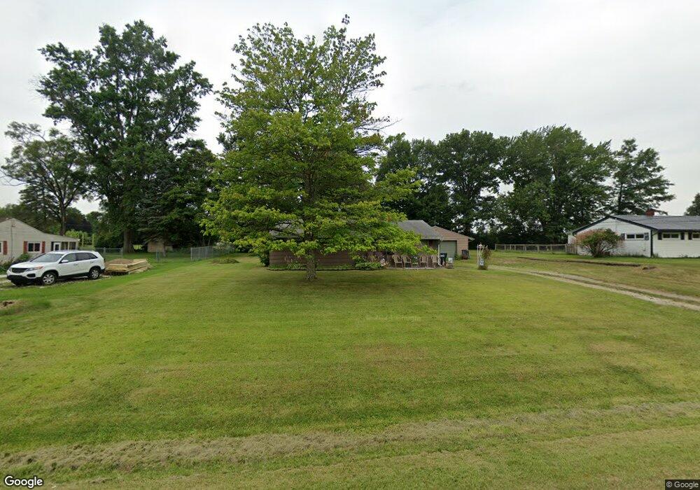
10567 Dot Ave NE Alliance, OH 44601
Estimated Value: $147,761 - $222,000
3
Beds
1
Bath
1,092
Sq Ft
$164/Sq Ft
Est. Value
About This Home
This home is located at 10567 Dot Ave NE, Alliance, OH 44601 and is currently estimated at $178,690, approximately $163 per square foot. 10567 Dot Ave NE is a home located in Stark County with nearby schools including Marlington High School and Regina Coeli/St Joseph School.
Ownership History
Date
Name
Owned For
Owner Type
Purchase Details
Closed on
Oct 25, 2016
Sold by
Findling Barbara A and Findling David William
Bought by
Findling Barbara A
Current Estimated Value
Purchase Details
Closed on
Nov 17, 2008
Sold by
Findling Barbara A
Bought by
Findling Barbara A and Findling David William
Purchase Details
Closed on
May 6, 2005
Sold by
Findling William E and Findling Barbara A
Bought by
Findling William E and Findling Barbara A
Create a Home Valuation Report for This Property
The Home Valuation Report is an in-depth analysis detailing your home's value as well as a comparison with similar homes in the area
Purchase History
| Date | Buyer | Sale Price | Title Company |
|---|---|---|---|
| Findling Barbara A | -- | None Available | |
| Findling Barbara A | -- | None Available | |
| Findling William E | -- | -- |
Source: Public Records
Tax History
| Year | Tax Paid | Tax Assessment Tax Assessment Total Assessment is a certain percentage of the fair market value that is determined by local assessors to be the total taxable value of land and additions on the property. | Land | Improvement |
|---|---|---|---|---|
| 2025 | -- | $35,810 | $21,880 | $13,930 |
| 2024 | -- | $35,810 | $21,880 | $13,930 |
| 2023 | $632 | $27,130 | $11,620 | $15,510 |
| 2022 | $650 | $27,130 | $11,620 | $15,510 |
| 2021 | $652 | $27,130 | $11,620 | $15,510 |
| 2020 | $600 | $23,840 | $10,010 | $13,830 |
| 2019 | $596 | $23,840 | $10,010 | $13,830 |
| 2018 | $597 | $23,840 | $10,010 | $13,830 |
| 2017 | $558 | $21,950 | $9,520 | $12,430 |
| 2016 | $558 | $21,950 | $9,520 | $12,430 |
| 2015 | $531 | $21,950 | $9,520 | $12,430 |
| 2014 | $422 | $18,320 | $7,950 | $10,370 |
| 2013 | $210 | $18,320 | $7,950 | $10,370 |
Source: Public Records
Map
Nearby Homes
- 10684 Dot Ave NE
- 10645 Wilma Ave NE
- 10666 Wilma Ave NE
- 0 Meadow St NE
- 10580 Heltman Ave NE
- 0 W Main St Unit 5090123
- 13004 Edison St NE
- 13109 Edison St NE
- 0 Westwood St
- 1235 Spring Ridge Cir Unit 17A
- 1601 Raywood Rd
- 347 Buckeye Ave
- 550 Johnson Ave
- 432 Johnson Ave
- 1114 Briarcliff Ave
- 1310 Overlook Dr
- 8539 Schubert Ave NE
- 664 Fairview Place
- 160 Bonnieview Ave
- 1156 Parkside Dr
- 10585 Dot Ave NE
- 10545 Dot Ave NE
- 10605 Dot Ave NE
- 10533 Dot Ave NE
- 10570 Dot Ave NE
- 10588 Dot Ave NE
- 10544 Dot Ave NE
- 10625 Dot Ave NE
- 10606 Dot Ave NE
- 10530 Dot Ave NE
- 12390 Beeson St NE
- 10626 Dot Ave NE
- 12366 Beeson St NE
- 10645 Dot Ave NE
- 10567 Barcus Ave NE
- 12414 Beeson St NE
- 12380 Beeson St NE
- 10585 Barcus Ave NE
- 10545 Barcus Ave NE
- 10605 Barcus Ave NE
Your Personal Tour Guide
Ask me questions while you tour the home.