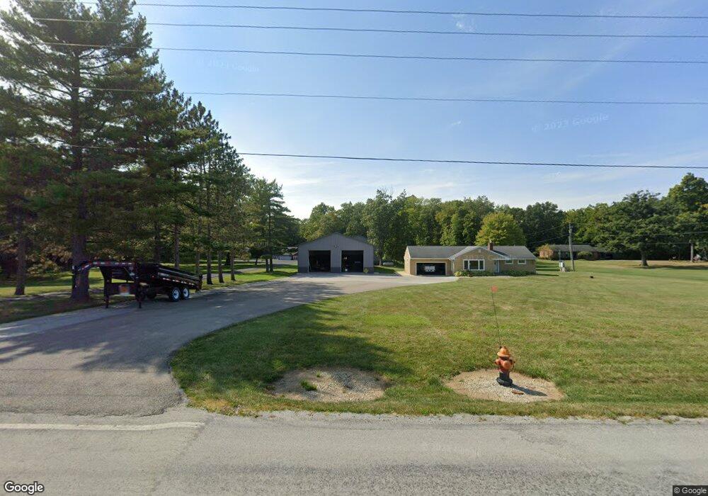
10568 County Highway 121 Upper Sandusky, OH 43351
Estimated Value: $280,000 - $326,935
3
Beds
2
Baths
1,264
Sq Ft
$240/Sq Ft
Est. Value
About This Home
This home is located at 10568 County Highway 121, Upper Sandusky, OH 43351 and is currently estimated at $303,468, approximately $240 per square foot. 10568 County Highway 121 is a home located in Wyandot County with nearby schools including Upper Sandusky High School and St. Peter Elementary School.
Ownership History
Date
Name
Owned For
Owner Type
Purchase Details
Closed on
Sep 24, 2017
Sold by
Workhard Unlimited Llc
Bought by
Rall Douglas J
Current Estimated Value
Purchase Details
Closed on
Jun 29, 2017
Sold by
Keaton Robert L and Keaton Robin K
Bought by
Workhard Unlimited Llc
Purchase Details
Closed on
Oct 12, 2007
Sold by
Niederkohr Ronald D and Niederkohr Margaret D
Bought by
Keaton Robert L and Keaton Robin K
Home Financials for this Owner
Home Financials are based on the most recent Mortgage that was taken out on this home.
Original Mortgage
$125,000
Interest Rate
6.33%
Mortgage Type
New Conventional
Purchase Details
Closed on
Sep 23, 2005
Sold by
Calmes Paul and Calmes Doreen
Bought by
Niederkohr Ronald D and Niederkohr Margaret D
Home Financials for this Owner
Home Financials are based on the most recent Mortgage that was taken out on this home.
Original Mortgage
$155,000
Interest Rate
5.25%
Mortgage Type
Adjustable Rate Mortgage/ARM
Create a Home Valuation Report for This Property
The Home Valuation Report is an in-depth analysis detailing your home's value as well as a comparison with similar homes in the area
Home Values in the Area
Average Home Value in this Area
Purchase History
| Date | Buyer | Sale Price | Title Company |
|---|---|---|---|
| Rall Douglas J | -- | None Available | |
| Workhard Unlimited Llc | $175,000 | None Available | |
| Keaton Robert L | $165,000 | None Available | |
| Niederkohr Ronald D | $155,000 | None Available |
Source: Public Records
Mortgage History
| Date | Status | Borrower | Loan Amount |
|---|---|---|---|
| Previous Owner | Keaton Robert L | $125,000 | |
| Previous Owner | Niederkohr Ronald D | $155,000 |
Source: Public Records
Tax History
| Year | Tax Paid | Tax Assessment Tax Assessment Total Assessment is a certain percentage of the fair market value that is determined by local assessors to be the total taxable value of land and additions on the property. | Land | Improvement |
|---|---|---|---|---|
| 2025 | $685 | $23,060 | $3,220 | $19,840 |
| 2024 | $101 | $3,220 | $3,220 | $0 |
| 2023 | $101 | $3,220 | $3,220 | $0 |
| 2022 | $101 | $2,920 | $2,920 | $0 |
| 2021 | $96 | $2,920 | $2,920 | $0 |
| 2020 | $96 | $2,920 | $2,920 | $0 |
| 2019 | $96 | $2,920 | $2,920 | $0 |
| 2018 | $94 | $2,920 | $2,920 | $0 |
| 2017 | $96 | $34,200 | $7,540 | $26,660 |
| 2016 | $763 | $34,200 | $7,540 | $26,660 |
| 2015 | -- | $33,480 | $7,540 | $25,940 |
| 2014 | -- | $33,480 | $7,540 | $25,940 |
| 2013 | -- | $33,480 | $7,540 | $25,940 |
Source: Public Records
Map
Nearby Homes
- 0 County Highway 121
- 212 Duck Pond Rd
- 123 Rivers Edge Ln
- 101 Rivers Edge Ln
- 109 Rivers Edge Ln
- 479 Front St
- 0 E Wyandot Ave
- 955 Greenbrier Rd
- 432 E Bigelow St
- 105 Old Lincoln Hwy
- 0 Highway 30
- 0 Us 30 & Sr 23
- 987 Greenbrier Rd
- 479 N 5th St
- 334 N 4th St
- 314 N 4th St
- 1030 Halbedel St
- 445 N Sandusky Ave
- 116 E Walker St
- 0 State Route 53 & 67 Unit 11165687
- 10592 County Highway 121
- 10530 County Highway 121
- 273 Duck Pond Rd
- 275 Duck Pond Rd
- 271 Duck Pond Rd
- 277 Duck Pond Rd
- 269 Duck Pond Rd
- 203 Woods Canyon Rd
- 201 Canyon Dr
- 201 Woods Canyon Rd
- 267 Duck Pond Rd
- 205 Canyon Dr Unit WOOD
- 279 Duck Pond Rd
- 272 Duck Pond Rd
- 268 Duck Pond Rd
- 276 Duck Pond Rd
- 10632 County Highway 121
- Lot 20 Woods Canyon Rd
- 10492 County Highway 121
- 207 Canyon Dr
Your Personal Tour Guide
Ask me questions while you tour the home.