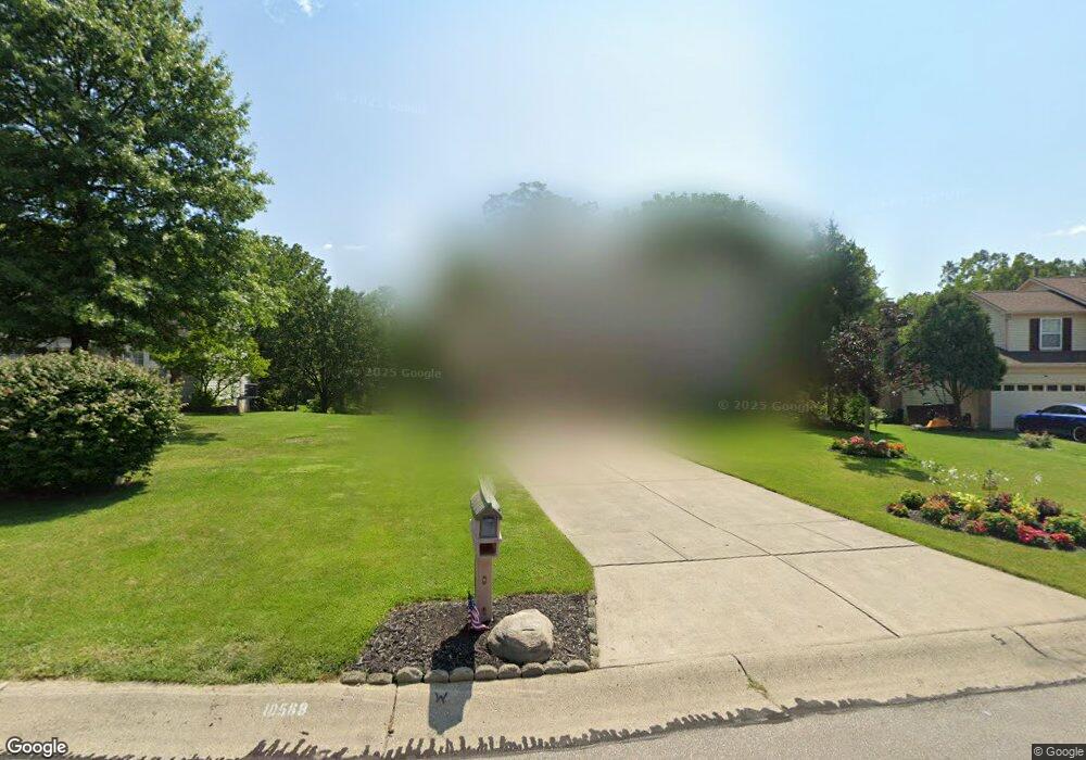
10568 Mill Farm Ct Cincinnati, OH 45231
New Burlington NeighborhoodEstimated Value: $323,000 - $350,000
4
Beds
4
Baths
1,976
Sq Ft
$170/Sq Ft
Est. Value
About This Home
This home is located at 10568 Mill Farm Ct, Cincinnati, OH 45231 and is currently estimated at $336,454, approximately $170 per square foot. 10568 Mill Farm Ct is a home located in Hamilton County with nearby schools including Mt Healthy High School, Hamilton County Mathematics and Science Academy, and Central Montessori Academy.
Ownership History
Date
Name
Owned For
Owner Type
Purchase Details
Closed on
Jun 4, 1999
Sold by
Steltenkamp James M and Steltenkamp Karen S
Bought by
Lester Karl R and Lester Penny A
Current Estimated Value
Home Financials for this Owner
Home Financials are based on the most recent Mortgage that was taken out on this home.
Original Mortgage
$149,150
Outstanding Balance
$35,909
Interest Rate
6.94%
Estimated Equity
$300,545
Purchase Details
Closed on
Nov 30, 1993
Sold by
The Ryland Group Inc
Bought by
Steltenkamp James M and Steltenkamp Karen S
Create a Home Valuation Report for This Property
The Home Valuation Report is an in-depth analysis detailing your home's value as well as a comparison with similar homes in the area
Home Values in the Area
Average Home Value in this Area
Purchase History
We collect this data history from publicly available records. To have your information removed, we recommend requesting removal directly through your county’s website.
| Date | Buyer | Sale Price | Title Company |
|---|---|---|---|
| Lester Karl R | $157,000 | United Title Agency Of Cinci | |
| Steltenkamp James M | -- | -- |
Source: Public Records
Mortgage History
We collect this data history from publicly available records. To have your information removed, we recommend requesting removal directly through your county’s website.
| Date | Status | Borrower | Loan Amount |
|---|---|---|---|
| Open | Lester Karl R | $149,150 |
Source: Public Records
Tax History
| Year | Tax Paid | Tax Assessment Tax Assessment Total Assessment is a certain percentage of the fair market value that is determined by local assessors to be the total taxable value of land and additions on the property. | Land | Improvement |
|---|---|---|---|---|
| 2025 | $5,010 | $84,953 | $12,492 | $72,461 |
| 2023 | $4,720 | $84,953 | $12,492 | $72,461 |
| 2022 | $5,364 | $69,679 | $12,163 | $57,516 |
| 2021 | $5,222 | $69,679 | $12,163 | $57,516 |
| 2020 | $5,300 | $69,679 | $12,163 | $57,516 |
| 2019 | $4,475 | $54,863 | $9,576 | $45,287 |
| 2018 | $4,428 | $54,863 | $9,576 | $45,287 |
| 2017 | $4,201 | $54,863 | $9,576 | $45,287 |
| 2016 | $3,963 | $51,016 | $9,093 | $41,923 |
| 2015 | $3,994 | $51,016 | $9,093 | $41,923 |
| 2014 | $3,975 | $51,016 | $9,093 | $41,923 |
| 2013 | $4,275 | $56,064 | $9,993 | $46,071 |
Source: Public Records
Map
Nearby Homes
- 1751 Mill Spring Ct
- 10683 Stonewood Ct
- 1785 Acreview Dr
- 1858 Aspenhill Dr
- 1855 Bluehill Dr
- 1887 Lotushill Dr
- 1854 Windmill Way
- 10228 Springbeauty Ln
- 1931 Lotushill Dr
- 2056 Persimmon Ct
- 1990 Bluehill Dr
- 10920 Crystalhill Ct
- 1905 Greenpine Dr
- 23 Briarwood Ln
- 2097 Bluehill Dr
- 10945 Crystalhill Ct
- 2071 Roosevelt Ave
- 1805 Miles Rd
- 2192 Pinney Ln
- 1884 Sevenhills Dr
- 10574 Mill Farm Ct
- 10564 Mill Farm Ct
- 10580 Mill Farm Ct
- 10560 Mill Farm Ct
- 10569 Mill Farm Ct
- 10563 Mill Farm Ct
- 10586 Mill Farm Ct
- 10561 Mill Farm Ct
- 10433 Mill Rd
- 10465 Mill Rd
- 10581 Mill Farm Ct
- 10589 Mill Farm Ct
- 10594 Mill Farm Ct
- 1704 Mill Spring Ct
- 10572 Farm Hill Ct
- 1712 Millspring Ct
- 10500 Springrun Dr
- 1712 Mill Spring Ct
- 10520 Springrun Dr
- 1704 Millspring Ct
Your Personal Tour Guide
Ask me questions while you tour the home.