10569 Macarthur Dr Marshfield, WI 54449
Estimated Value: $148,000 - $333,000
Studio
--
Bath
--
Sq Ft
1,294,603
Sq Ft Lot
About This Home
This home is located at 10569 Macarthur Dr, Marshfield, WI 54449 and is currently estimated at $273,259. 10569 Macarthur Dr is a home with nearby schools including Marshfield High School and Trinity Lutheran School.
Ownership History
Date
Name
Owned For
Owner Type
Purchase Details
Closed on
Mar 16, 2022
Sold by
W. Carolfi Ryan
Bought by
W. Carolfi Ryan and W. Abby
Current Estimated Value
Purchase Details
Closed on
Mar 14, 2020
Sold by
Standiford Steven B
Bought by
Carolfi Ryan W
Home Financials for this Owner
Home Financials are based on the most recent Mortgage that was taken out on this home.
Original Mortgage
$18,800
Interest Rate
3.4%
Mortgage Type
New Conventional
Purchase Details
Closed on
Aug 22, 2006
Sold by
Bol Jan Willen and Danielle Boi De Greve B
Bought by
Standiford Steven B
Home Financials for this Owner
Home Financials are based on the most recent Mortgage that was taken out on this home.
Original Mortgage
$359,866
Interest Rate
6.78%
Mortgage Type
New Conventional
Create a Home Valuation Report for This Property
The Home Valuation Report is an in-depth analysis detailing your home's value as well as a comparison with similar homes in the area
Purchase History
| Date | Buyer | Sale Price | Title Company |
|---|---|---|---|
| W. Carolfi Ryan | $41,900 | Cassandra Pettit | |
| Carolfi Ryan W | $23,500 | None Available | |
| Standiford Steven B | $200,000 | Central Abstract & Title | |
| Standiford Steven B | $200,000 | -- |
Source: Public Records
Mortgage History
| Date | Status | Borrower | Loan Amount |
|---|---|---|---|
| Previous Owner | Carolfi Ryan W | $18,800 | |
| Previous Owner | Standiford Steven B | $359,866 |
Source: Public Records
Tax History
| Year | Tax Paid | Tax Assessment Tax Assessment Total Assessment is a certain percentage of the fair market value that is determined by local assessors to be the total taxable value of land and additions on the property. | Land | Improvement |
|---|---|---|---|---|
| 2025 | $2,900 | $215,500 | $41,000 | $174,500 |
| 2024 | $2,367 | $182,800 | $41,000 | $141,800 |
| 2023 | $2,036 | $182,800 | $41,000 | $141,800 |
| 2022 | $3,198 | $153,900 | $22,500 | $131,400 |
| 2021 | $293 | $15,100 | $15,100 | $0 |
| 2020 | $284 | $15,100 | $15,100 | $0 |
| 2019 | $285 | $15,100 | $15,100 | $0 |
| 2018 | $141 | $7,400 | $7,400 | $0 |
| 2017 | $299 | $15,500 | $15,500 | $0 |
| 2016 | $289 | $15,500 | $15,500 | $0 |
| 2015 | $300 | $15,500 | $15,500 | $0 |
Source: Public Records
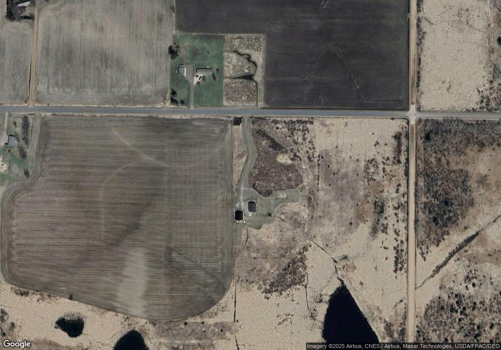
Map
Nearby Homes
- 10671 State Highway 10
- 9073 Richfield Dr
- 9893 Bluff Dr
- 10778 Lincoln Ave
- 10145 S Washington Ave
- 9035 County Rd N
- 36.97 Heritage Dr
- 7623 County Road V
- 10880 County Road H
- 7223 County Highway V
- 7237 County Road V
- 00 County Road H
- 2001 S Maple Ave
- 2511 S Apple Ave
- 2806-2808 S Felker Ave
- 2706 S Maywood Ave
- 1405 E 29th St
- 1507 S Chestnut Ave
- 309 W 14th St
- 8188 County Road Ee
- 9134 Robin Rd
- 10419 Macarthur Dr
- 10663 Macarthur Dr
- 10377 Macarthur Dr
- 10656 Macarthur Dr
- 10677 Macarthur Dr
- 0 Mac Arthur Dr
- 10721 Macarthur Dr
- 9437 Robin Rd
- 17.16 Acre Robin Rd
- 17.16 Acres Robin Rd
- 9054 Robin Rd
- 9021 Robin Rd
- 9477 Robin Rd
- 9006 Robin Rd
- 8989 Robin Rd
- 10286 Macarthur Dr
- 9568 Robin Rd
- 10217 Macarthur Dr
- 10851 Macarthur Dr
Your Personal Tour Guide
Ask me questions while you tour the home.