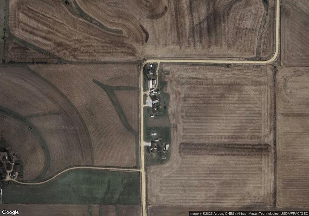
1057 242nd Ave Delmar, IA 52037
Estimated Value: $229,000 - $413,462
3
Beds
2
Baths
1,367
Sq Ft
$241/Sq Ft
Est. Value
About This Home
This home is located at 1057 242nd Ave, Delmar, IA 52037 and is currently estimated at $329,616, approximately $241 per square foot. 1057 242nd Ave is a home with nearby schools including Delwood Elementary School.
Ownership History
Date
Name
Owned For
Owner Type
Purchase Details
Closed on
Aug 10, 2007
Sold by
Mangler Annette M
Bought by
Mangler Annette M
Current Estimated Value
Create a Home Valuation Report for This Property
The Home Valuation Report is an in-depth analysis detailing your home's value as well as a comparison with similar homes in the area
Home Values in the Area
Average Home Value in this Area
Purchase History
| Date | Buyer | Sale Price | Title Company |
|---|---|---|---|
| Mangler Annette M | -- | None Available |
Source: Public Records
Tax History Compared to Growth
Tax History
| Year | Tax Paid | Tax Assessment Tax Assessment Total Assessment is a certain percentage of the fair market value that is determined by local assessors to be the total taxable value of land and additions on the property. | Land | Improvement |
|---|---|---|---|---|
| 2025 | $4,314 | $383,990 | $48,000 | $335,990 |
| 2024 | $4,314 | $361,700 | $48,000 | $313,700 |
| 2023 | $4,258 | $361,700 | $48,000 | $313,700 |
| 2022 | $2,698 | $336,850 | $48,000 | $288,850 |
| 2021 | $2,668 | $209,890 | $26,100 | $183,790 |
| 2020 | $2,668 | $201,140 | $26,100 | $175,040 |
| 2019 | $2,618 | $201,140 | $0 | $0 |
| 2018 | $2,458 | $201,140 | $0 | $0 |
| 2017 | $2,458 | $193,480 | $0 | $0 |
| 2016 | $1,280 | $103,700 | $0 | $0 |
| 2015 | $1,280 | $95,040 | $0 | $0 |
| 2014 | $1,164 | $95,040 | $0 | $0 |
| 2013 | $1,220 | $0 | $0 | $0 |
Source: Public Records
Map
Nearby Homes
- 105 Richland St
- Lot 2 Timber Dr
- Lot 3 Timber Dr
- Lot 1 Timber Dr
- 2541 130th St
- 0 Nairn Dr Unit 153479
- 108 W Monroe St
- 712 S 2nd St
- 302 E Maple St
- 407 S Niagara St
- 313 S 4th St
- 210 S 2nd St
- 1389 260th Ave
- 124 E Platt St
- 310 N Dearborn St
- 911 Lisa Dr
- 706 Myatt Dr Unit A & B
- 318 N Main St
- 202 W Apple St
- 401-435 Forest Dr