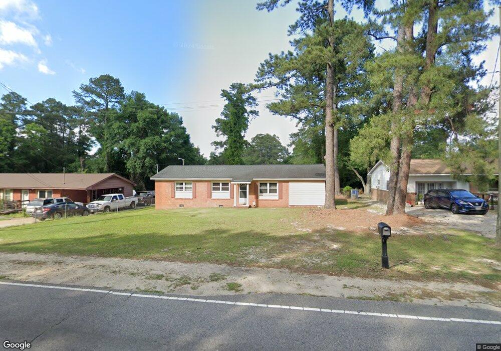
1057 Bunce Rd Fayetteville, NC 28314
Seventy-First NeighborhoodEstimated Value: $92,000 - $130,923
3
Beds
2
Baths
1,382
Sq Ft
$83/Sq Ft
Est. Value
About This Home
This home is located at 1057 Bunce Rd, Fayetteville, NC 28314 and is currently estimated at $114,481, approximately $82 per square foot. 1057 Bunce Rd is a home located in Cumberland County with nearby schools including Brentwood Elementary School, Lewis Chapel Middle School, and Seventy-First High School.
Ownership History
Date
Name
Owned For
Owner Type
Purchase Details
Closed on
May 8, 2007
Sold by
Broadie David E
Bought by
Boggan Brian
Current Estimated Value
Home Financials for this Owner
Home Financials are based on the most recent Mortgage that was taken out on this home.
Original Mortgage
$450,000
Interest Rate
6.16%
Mortgage Type
New Conventional
Purchase Details
Closed on
Sep 16, 2002
Sold by
Leach James
Bought by
Mccall David
Home Financials for this Owner
Home Financials are based on the most recent Mortgage that was taken out on this home.
Original Mortgage
$50,400
Interest Rate
6.27%
Purchase Details
Closed on
Feb 25, 2000
Sold by
Britt Edwin J
Bought by
Jones Michael A
Home Financials for this Owner
Home Financials are based on the most recent Mortgage that was taken out on this home.
Original Mortgage
$50,399
Interest Rate
8.21%
Create a Home Valuation Report for This Property
The Home Valuation Report is an in-depth analysis detailing your home's value as well as a comparison with similar homes in the area
Home Values in the Area
Average Home Value in this Area
Purchase History
| Date | Buyer | Sale Price | Title Company |
|---|---|---|---|
| Boggan Brian | $50,000 | -- | |
| Mccall David | $56,000 | -- | |
| Jones Michael A | $48,000 | -- |
Source: Public Records
Mortgage History
| Date | Status | Borrower | Loan Amount |
|---|---|---|---|
| Previous Owner | Boggan Brian | $450,000 | |
| Previous Owner | Mccall David | $50,400 | |
| Previous Owner | Jones Michael A | $50,399 |
Source: Public Records
Tax History Compared to Growth
Tax History
| Year | Tax Paid | Tax Assessment Tax Assessment Total Assessment is a certain percentage of the fair market value that is determined by local assessors to be the total taxable value of land and additions on the property. | Land | Improvement |
|---|---|---|---|---|
| 2024 | $1,061 | $61,197 | $11,385 | $49,812 |
| 2023 | $1,061 | $61,197 | $11,385 | $49,812 |
| 2022 | $892 | $61,197 | $11,385 | $49,812 |
| 2021 | $892 | $61,197 | $11,385 | $49,812 |
| 2019 | $741 | $32,600 | $11,385 | $21,215 |
| 2018 | $741 | $32,600 | $11,385 | $21,215 |
| 2017 | $638 | $32,600 | $11,385 | $21,215 |
| 2016 | $811 | $54,400 | $11,385 | $43,015 |
| 2015 | $804 | $54,400 | $11,385 | $43,015 |
| 2014 | $797 | $54,400 | $11,385 | $43,015 |
Source: Public Records
Map
Nearby Homes
- 6438 and 6440 Raeford Rd
- 6112 Malvern Cir
- 1034 Crayton Cir
- 0 Tarrytown Rd
- 6256 Raeford Rd
- 1401 Cadney Ct
- 1122 Southwood Dr Unit 2
- 3501 Ajuga Place
- 6207 Glenlea Cir
- 1123 Southwood Dr Unit 5
- 1127 Southwood Dr Unit 1127, 1129, 1131, 11
- 0 Strickland Bridge Rd Unit LP726506
- 6203 Lynette Cir
- 6408 Starbrook Dr Unit 3
- 1001 Arberdale Dr
- 6403 Starbrook Dr Unit 6