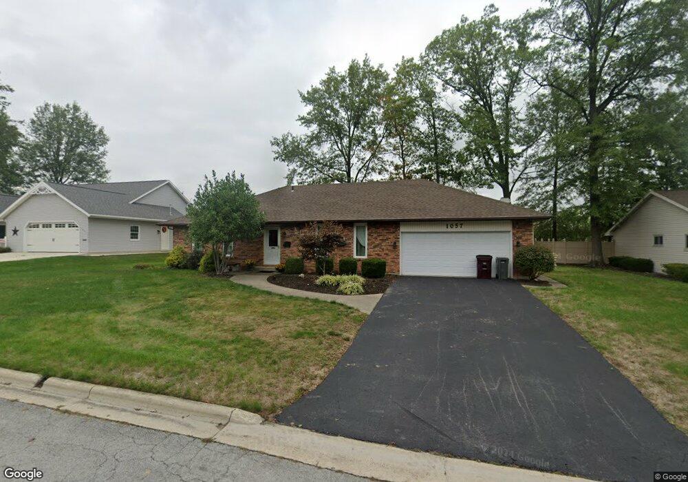
1057 Loretta Place Lima, OH 45805
Westgate NeighborhoodEstimated Value: $162,000 - $296,000
3
Beds
2
Baths
1,500
Sq Ft
$149/Sq Ft
Est. Value
About This Home
This home is located at 1057 Loretta Place, Lima, OH 45805 and is currently estimated at $223,321, approximately $148 per square foot. 1057 Loretta Place is a home located in Allen County with nearby schools including Heritage Elementary School, Lima West Middle School, and Lima North Middle School.
Ownership History
Date
Name
Owned For
Owner Type
Purchase Details
Closed on
Aug 1, 1996
Sold by
Est Harry Baxter
Bought by
Gallagher Robert and Gallagher Juanita
Current Estimated Value
Home Financials for this Owner
Home Financials are based on the most recent Mortgage that was taken out on this home.
Original Mortgage
$65,000
Interest Rate
8.33%
Mortgage Type
New Conventional
Purchase Details
Closed on
Oct 1, 1982
Bought by
Baxter Rose M
Create a Home Valuation Report for This Property
The Home Valuation Report is an in-depth analysis detailing your home's value as well as a comparison with similar homes in the area
Home Values in the Area
Average Home Value in this Area
Purchase History
| Date | Buyer | Sale Price | Title Company |
|---|---|---|---|
| Gallagher Robert | $90,000 | -- | |
| Baxter Rose M | $58,000 | -- |
Source: Public Records
Mortgage History
| Date | Status | Borrower | Loan Amount |
|---|---|---|---|
| Previous Owner | Gallagher Robert | $65,000 |
Source: Public Records
Tax History
| Year | Tax Paid | Tax Assessment Tax Assessment Total Assessment is a certain percentage of the fair market value that is determined by local assessors to be the total taxable value of land and additions on the property. | Land | Improvement |
|---|---|---|---|---|
| 2024 | $1,847 | $61,820 | $9,280 | $52,540 |
| 2023 | $1,468 | $44,800 | $6,720 | $38,080 |
| 2022 | $1,493 | $44,800 | $6,720 | $38,080 |
| 2021 | $1,582 | $44,800 | $6,720 | $38,080 |
| 2020 | $1,384 | $36,510 | $6,410 | $30,100 |
| 2019 | $1,384 | $36,510 | $6,410 | $30,100 |
| 2018 | $1,365 | $36,510 | $6,410 | $30,100 |
| 2017 | $1,321 | $35,080 | $6,410 | $28,670 |
| 2016 | $1,333 | $35,080 | $6,410 | $28,670 |
| 2015 | $1,296 | $35,080 | $6,410 | $28,670 |
| 2014 | $1,296 | $33,990 | $6,790 | $27,200 |
| 2013 | $1,261 | $33,990 | $6,790 | $27,200 |
Source: Public Records
Map
Nearby Homes
- 102 Charwood Dr
- 1605 Hazel Ave
- 1600 Leland Ave
- 1407 Latham Ave
- 1753 Leland Ave
- 1245 Latham Ave
- 3 Poulston Place
- 1580 W Robb Ave
- 1015 N Cole St
- 705 Cornell Dr
- 0 Latham
- 1730 Homeward Ave
- 1517 Allentown Rd
- 1209 Rice Ave
- 00 Homeward Ave
- 1027 Sherman Ave
- 1607 W Wayne St
- 1160 Richie Ave
- 1716 Oakland Pkwy
- 1508 Oakland Pkwy
Your Personal Tour Guide
Ask me questions while you tour the home.