1057 Seagate Ave Coos Bay, OR 97420
Estimated Value: $523,114
3
Beds
2
Baths
1,823
Sq Ft
$287/Sq Ft
Est. Value
About This Home
This home is located at 1057 Seagate Ave, Coos Bay, OR 97420 and is currently estimated at $523,114, approximately $286 per square foot. 1057 Seagate Ave is a home located in Coos County with nearby schools including Sunset School, Madison Elementary School, and Marshfield Senior High School.
Ownership History
Date
Name
Owned For
Owner Type
Purchase Details
Closed on
Jun 1, 2006
Sold by
S & K Property Development Llc
Bought by
Gumbs Brian L and Jackson Nicole J
Current Estimated Value
Home Financials for this Owner
Home Financials are based on the most recent Mortgage that was taken out on this home.
Original Mortgage
$277,600
Outstanding Balance
$162,749
Interest Rate
6.52%
Mortgage Type
Fannie Mae Freddie Mac
Estimated Equity
$360,365
Purchase Details
Closed on
Mar 24, 2005
Sold by
Sweet Joel M and Kyelberg Merle D Dan
Bought by
Sweet Joel M and Kyelberg Merle D Dan
Create a Home Valuation Report for This Property
The Home Valuation Report is an in-depth analysis detailing your home's value as well as a comparison with similar homes in the area
Home Values in the Area
Average Home Value in this Area
Purchase History
| Date | Buyer | Sale Price | Title Company |
|---|---|---|---|
| Gumbs Brian L | $347,000 | Ticor Title Insurance | |
| Sweet Joel M | -- | Ticor Title Insurance | |
| Sweet Joel M | -- | Ticor Title Insurance |
Source: Public Records
Mortgage History
| Date | Status | Borrower | Loan Amount |
|---|---|---|---|
| Open | Gumbs Brian L | $277,600 |
Source: Public Records
Tax History Compared to Growth
Tax History
| Year | Tax Paid | Tax Assessment Tax Assessment Total Assessment is a certain percentage of the fair market value that is determined by local assessors to be the total taxable value of land and additions on the property. | Land | Improvement |
|---|---|---|---|---|
| 2024 | $4,283 | $246,430 | -- | -- |
| 2023 | $4,154 | $239,260 | $0 | $0 |
| 2022 | $4,086 | $232,300 | $0 | $0 |
| 2021 | $3,980 | $225,540 | $0 | $0 |
| 2020 | $3,868 | $225,540 | $0 | $0 |
| 2019 | $3,713 | $212,610 | $0 | $0 |
| 2018 | $3,586 | $206,420 | $0 | $0 |
| 2017 | $3,178 | $200,410 | $0 | $0 |
| 2016 | $3,034 | $194,580 | $0 | $0 |
| 2015 | $2,951 | $188,920 | $0 | $0 |
| 2014 | $2,904 | $183,420 | $0 | $0 |
Source: Public Records
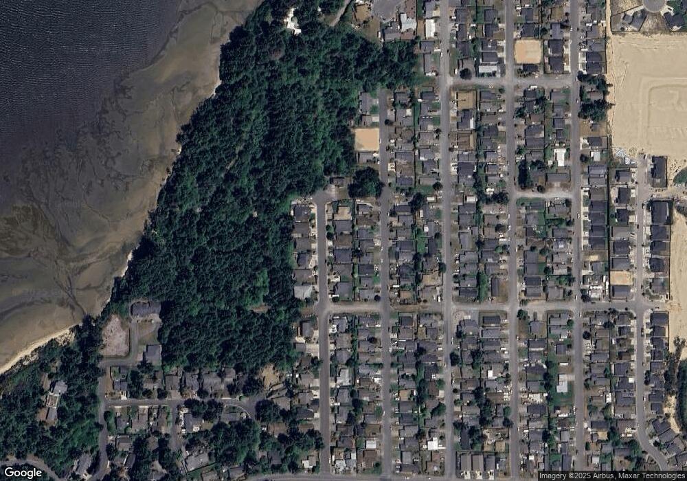
Map
Nearby Homes
- 1227 Seagate St
- 1220 Seagate St
- 1125 Augustine Ave
- 1065 Fenwick St
- 1090 Sanford St
- 0 Seagate Ave Unit 24532470
- 1230 Seagate Ave
- 1065 Crocker St
- 1123 Crocker St
- 1400 Holloway Mews
- 1275 Fenwick St
- 1120 Lakeshore Dr
- 2317 Laura Ln
- 903 Chickses Dr
- 1700 Lakeshore Dr
- 815 Fenwick St
- 1344 Seagate Ave
- 736 Edwards Ave
- 765 Edwards
- 755 Edwards
- 1075 Seagate Ave
- 1033 Seagate Ave
- 1040 Augustine Ave
- 1050 Augustine Ave
- 1097 Seagate Ave
- 1017 Seagate Ave
- 1060 Augustine Ave
- 1020 Augustine Ave
- 1054 Seagate Ave
- 1070 Augustine Ave
- 1070 Seagate Ave
- 1032 Seagate Ave
- 1010 Augustine Ave
- 1092 Seagate Ave
- 1003 Seagate Ave
- 1865 Seagate St
- 1014 Seagate Ave
- 1326 Howard St
- 1000 Augustine Ave
- 1047 Augustine Ave