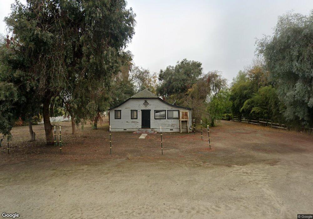
1057 Zumwalt Ave Tulare, CA 93274
Estimated Value: $367,000 - $909,000
3
Beds
2
Baths
1,495
Sq Ft
$387/Sq Ft
Est. Value
About This Home
This home is located at 1057 Zumwalt Ave, Tulare, CA 93274 and is currently estimated at $577,962, approximately $386 per square foot. 1057 Zumwalt Ave is a home located in Tulare County with nearby schools including Heritage Elementary School, Los Tules Middle School, and Tulare Western High School.
Ownership History
Date
Name
Owned For
Owner Type
Purchase Details
Closed on
Aug 23, 2019
Sold by
Schroeder Brett
Bought by
Tulare Irrigation District
Current Estimated Value
Purchase Details
Closed on
Mar 28, 2003
Sold by
Silveira Manuel A
Bought by
Silveira Manuel A and Silveira Rosa D
Purchase Details
Closed on
Jun 26, 2001
Sold by
Silveira Manuel A
Bought by
Silveira Manuel A and Silveira Rosa D
Purchase Details
Closed on
Apr 16, 1999
Sold by
Roth Peggy A
Bought by
Silveira Manuel A and Silveira Rosa D
Create a Home Valuation Report for This Property
The Home Valuation Report is an in-depth analysis detailing your home's value as well as a comparison with similar homes in the area
Home Values in the Area
Average Home Value in this Area
Purchase History
| Date | Buyer | Sale Price | Title Company |
|---|---|---|---|
| Tulare Irrigation District | $163 | None Available | |
| Silveira Manuel A | -- | Fidelity National Title Co | |
| Silveira Manuel A | -- | -- | |
| Silveira Manuel A | $210,000 | Chicago Title Co |
Source: Public Records
Tax History Compared to Growth
Tax History
| Year | Tax Paid | Tax Assessment Tax Assessment Total Assessment is a certain percentage of the fair market value that is determined by local assessors to be the total taxable value of land and additions on the property. | Land | Improvement |
|---|---|---|---|---|
| 2025 | $3,583 | $329,234 | $117,584 | $211,650 |
| 2024 | $3,583 | $322,779 | $115,279 | $207,500 |
| 2023 | $3,492 | $316,451 | $113,019 | $203,432 |
| 2022 | $3,390 | $310,247 | $110,803 | $199,444 |
| 2021 | $3,347 | $304,163 | $108,630 | $195,533 |
| 2020 | $3,403 | $301,044 | $107,516 | $193,528 |
| 2019 | $3,489 | $295,141 | $105,408 | $189,733 |
| 2018 | $3,433 | $289,354 | $103,341 | $186,013 |
| 2017 | $3,401 | $283,681 | $101,315 | $182,366 |
| 2016 | $3,252 | $278,118 | $99,328 | $178,790 |
| 2015 | $3,143 | $273,940 | $97,836 | $176,104 |
| 2014 | $3,143 | $268,574 | $95,920 | $172,654 |
Source: Public Records
Map
Nearby Homes
- 1721 Cotton Ct
- 384 Mitchell Ave
- 382 Hemmingway Ct
- 1149 N E St
- 1977 Irving Cir
- 202 W Gail Ave
- 2459 N Oaks St Unit 37
- 2459 N Oaks St Unit 120
- 2459 N Oaks St Unit 127
- 2459 N Oaks St Unit 28
- 2459 N Oaks St Unit 46
- 1266 N H St
- 704 Lassen Ave
- 1695 Cochran Ave
- 148 E Gail Ave
- 830 Alameda St
- 1 M St
- 230 E Kennedy Ave
- 0 Cartmill Ave Ave Unit 121103
- 183 Oaks Ct
- 1037 Zumwalt Ave
- 1073 Zumwalt Ave
- 945 Zumwalt Ave
- 894 Russel Ave
- 894 Russell Ave
- 886 Russel Ave
- 919 Zumwalt Ave
- 878 Russel Ave
- 1799 Cotton Ct
- 1193 Zumwalt Ave
- 864 Russel Ave
- 0 Cotton Ct
- 850 Russel Ave
- 1793 Cotton Ct
- 842 Russel Ave
- 1796 Cotton Ct
- 1785 Cotton Ct
- 1106 W Gail Ave
- 836 Russel Ave
- 1799 Peterson St