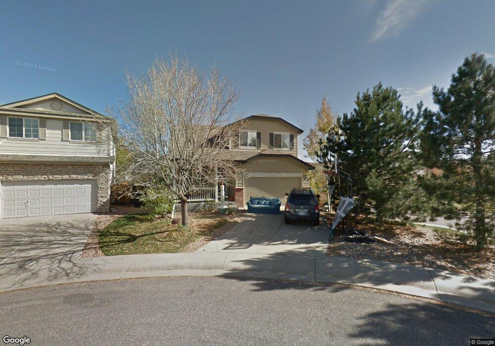
10570 Tiger Point Lone Tree, CO 80124
Southridge NeighborhoodEstimated Value: $662,565 - $678,000
3
Beds
3
Baths
1,833
Sq Ft
$366/Sq Ft
Est. Value
About This Home
This home is located at 10570 Tiger Point, Lone Tree, CO 80124 and is currently estimated at $670,283, approximately $365 per square foot. 10570 Tiger Point is a home located in Douglas County with nearby schools including Wildcat Mountain Elementary School, Rocky Heights Middle School, and Rock Canyon High School.
Ownership History
Date
Name
Owned For
Owner Type
Purchase Details
Closed on
Mar 11, 2014
Sold by
Clark Bryson T
Bought by
Clark Bryson T and Clark Heather L
Current Estimated Value
Home Financials for this Owner
Home Financials are based on the most recent Mortgage that was taken out on this home.
Original Mortgage
$193,000
Outstanding Balance
$145,897
Interest Rate
4.27%
Mortgage Type
New Conventional
Estimated Equity
$524,386
Purchase Details
Closed on
Jun 27, 2002
Sold by
Catt Dana L
Bought by
Clark Bryson T
Home Financials for this Owner
Home Financials are based on the most recent Mortgage that was taken out on this home.
Original Mortgage
$228,000
Interest Rate
6.78%
Purchase Details
Closed on
Dec 23, 1998
Sold by
Kdb Homes Inc
Bought by
Catt Dana L
Home Financials for this Owner
Home Financials are based on the most recent Mortgage that was taken out on this home.
Original Mortgage
$85,000
Interest Rate
6.85%
Create a Home Valuation Report for This Property
The Home Valuation Report is an in-depth analysis detailing your home's value as well as a comparison with similar homes in the area
Home Values in the Area
Average Home Value in this Area
Purchase History
| Date | Buyer | Sale Price | Title Company |
|---|---|---|---|
| Clark Bryson T | -- | None Available | |
| Clark Bryson T | $240,000 | -- | |
| Catt Dana L | $178,137 | First American Heritage Titl |
Source: Public Records
Mortgage History
| Date | Status | Borrower | Loan Amount |
|---|---|---|---|
| Open | Clark Bryson T | $193,000 | |
| Closed | Clark Bryson T | $228,000 | |
| Previous Owner | Catt Dana L | $85,000 |
Source: Public Records
Tax History Compared to Growth
Tax History
| Year | Tax Paid | Tax Assessment Tax Assessment Total Assessment is a certain percentage of the fair market value that is determined by local assessors to be the total taxable value of land and additions on the property. | Land | Improvement |
|---|---|---|---|---|
| 2024 | $4,291 | $44,890 | $10,110 | $34,780 |
| 2023 | $4,331 | $44,890 | $10,110 | $34,780 |
| 2022 | $3,227 | $31,830 | $6,900 | $24,930 |
| 2021 | $3,352 | $31,830 | $6,900 | $24,930 |
| 2020 | $3,098 | $30,160 | $6,580 | $23,580 |
| 2019 | $3,108 | $30,160 | $6,580 | $23,580 |
| 2018 | $2,554 | $26,320 | $5,770 | $20,550 |
| 2017 | $2,590 | $26,320 | $5,770 | $20,550 |
| 2016 | $2,397 | $23,900 | $5,370 | $18,530 |
| 2015 | $2,442 | $23,900 | $5,370 | $18,530 |
| 2014 | $2,102 | $19,410 | $5,250 | $14,160 |
Source: Public Records
Map
Nearby Homes
- 10518 Tigers Eye
- 7053 Leopard Dr
- 7093 Leopard Dr
- 7195 Leopard Gate
- 10722 Cougar Canyon
- 10375 Lions Heart
- 10330 Lions Path
- 10541 Jaguar Glen
- 11041 Puma Run
- 10557 Eby Cir
- 10456 Carriage Club Dr
- 10557 Jaguar Dr
- 10296 Lauren Ct
- 6042 Sima Cir
- 10292 Nickolas Ave
- 10439 Cheetah Winds
- 10445 Cheetah Winds
- 5639 Jaguar Way
- 10660 Jewelberry Cir
- 10278 Dan Ct
- 10568 Tiger Point
- 7104 Lionshead Pkwy
- 10566 Tiger Point
- 6792 Tiger Walk
- 7098 Lionshead Pkwy
- 10564 Tiger Point
- 7109 Lionshead Pkwy
- 6796 Tiger Walk
- 7121 Lionshead Pkwy
- 10567 Tiger Point
- 6802 Tiger Walk
- 10563 Tiger Point
- 7092 Lionshead Pkwy
- 10561 Tiger Point
- 10557 Tiger Point
- 6808 Tiger Walk
- 7093 Lionshead Pkwy
- 7135 Lionshead Pkwy
- 10555 Tiger Point
- 7086 Lionshead Pkwy