10570 W 192nd Place Spring Hill, KS 66083
Estimated Value: $1,191,000 - $2,639,000
4
Beds
5
Baths
4,342
Sq Ft
$470/Sq Ft
Est. Value
About This Home
This home is located at 10570 W 192nd Place, Spring Hill, KS 66083 and is currently estimated at $2,041,207, approximately $470 per square foot. 10570 W 192nd Place is a home located in Johnson County with nearby schools including Wolf Springs Elementary School, Aubry Bend Middle School, and Blue Valley Southwest High School.
Ownership History
Date
Name
Owned For
Owner Type
Purchase Details
Closed on
Nov 17, 2007
Sold by
Green John L and Green Deborah R
Bought by
Green John L and Green Deborah R
Current Estimated Value
Purchase Details
Closed on
Nov 25, 2002
Sold by
Glotzbach Edward L and Glotzbach Julie L
Bought by
Glotzbach Edward L and Glotzbach Julie L
Create a Home Valuation Report for This Property
The Home Valuation Report is an in-depth analysis detailing your home's value as well as a comparison with similar homes in the area
Home Values in the Area
Average Home Value in this Area
Purchase History
| Date | Buyer | Sale Price | Title Company |
|---|---|---|---|
| Green John L | -- | Homestead Title | |
| Glotzbach Edward L | -- | -- |
Source: Public Records
Tax History Compared to Growth
Tax History
| Year | Tax Paid | Tax Assessment Tax Assessment Total Assessment is a certain percentage of the fair market value that is determined by local assessors to be the total taxable value of land and additions on the property. | Land | Improvement |
|---|---|---|---|---|
| 2024 | $21,870 | $209,944 | $68,799 | $141,145 |
| 2023 | $21,466 | $204,551 | $62,404 | $142,147 |
| 2022 | $21,183 | $198,203 | $62,404 | $135,799 |
| 2021 | $21,406 | $191,314 | $62,404 | $128,910 |
| 2020 | $21,050 | $186,783 | $54,182 | $132,601 |
| 2019 | $21,148 | $183,252 | $54,182 | $129,070 |
| 2018 | $20,413 | $172,052 | $54,200 | $117,852 |
| 2017 | $20,340 | $167,555 | $49,326 | $118,229 |
| 2016 | $20,113 | $165,428 | $49,326 | $116,102 |
| 2015 | $18,232 | $149,500 | $49,326 | $100,174 |
| 2013 | -- | $126,500 | $47,725 | $78,775 |
Source: Public Records
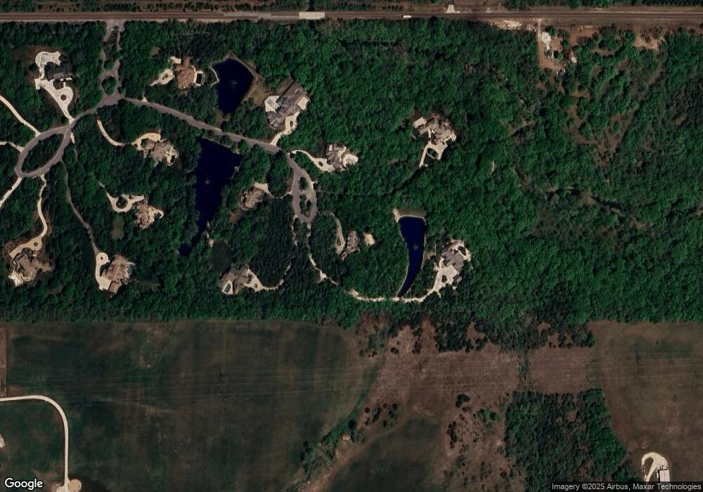
Map
Nearby Homes
- 10625 W 192nd Place
- 11250 W 191st St
- 10103 W 191st St
- 10283 W 191st St
- The Laguna 1.5 Story Plan at Adams Farm Estates
- The Monaco Plan at Adams Farm Estates
- The Laguna Plan at Adams Farm Estates
- The Riviera II Plan at Adams Farm Estates
- The Riviera Plan at Adams Farm Estates
- The Breckenridge Plan at Adams Farm Estates
- The Carmell II Plan at Adams Farm Estates
- The Grand Laguna Plan at Adams Farm Estates
- The Laguna 2 Plan at Adams Farm Estates
- The Grand H4L Plan at Adams Farm Estates
- The Aspen Plan at Adams Farm Estates
- The H4L Reserve Plan at Adams Farm Estates
- The H4L2 Plan at Adams Farm Estates
- The Santa Barbara Plan at Adams Farm Estates
- The Santa Rosa Plan at Adams Farm Estates
- The Carmel Plan at Adams Farm Estates
- 10550 W 192nd Place
- 10595 W 192nd Place
- 10655 W 192nd Place
- 10580 W 192nd Place
- 10670 W 192nd Place
- 10805 W 192nd Place
- 10785 W 192nd Place
- 10875 W 192nd Place
- 10710 W 192nd Place
- 19440 Switzer Rd
- 10734 W 195th St
- 10734 W 195th St
- 10542 W 195th St
- 10542 W 195th St
- 10965 W 192nd Place
- 10950 W 192nd Place
- 11095 W 192nd Place
- 11050 W 192nd Place
- 11030 W 192nd Place
- 19255 Flint St