10571 Titmouse Rd Tamaroa, IL 62888
Estimated Value: $161,000 - $214,829
Studio
--
Bath
--
Sq Ft
108,900
Sq Ft Lot
About This Home
This home is located at 10571 Titmouse Rd, Tamaroa, IL 62888 and is currently estimated at $180,276. 10571 Titmouse Rd is a home located in Perry County with nearby schools including DuQuoin High School, DuQuoin Elementary School, and DuQuoin Middle School.
Ownership History
Date
Name
Owned For
Owner Type
Purchase Details
Closed on
Dec 12, 2023
Sold by
Merkel Sharon E and Merkel Ray M
Bought by
Ragland Charles A
Current Estimated Value
Home Financials for this Owner
Home Financials are based on the most recent Mortgage that was taken out on this home.
Original Mortgage
$100,000
Outstanding Balance
$95,156
Interest Rate
6.75%
Mortgage Type
New Conventional
Estimated Equity
$85,120
Purchase Details
Closed on
Mar 28, 2005
Sold by
Williams Murray C and Williams Marie
Bought by
Merkel Roy M and Merkel Sharon E
Create a Home Valuation Report for This Property
The Home Valuation Report is an in-depth analysis detailing your home's value as well as a comparison with similar homes in the area
Purchase History
| Date | Buyer | Sale Price | Title Company |
|---|---|---|---|
| Ragland Charles A | $145,000 | Roe Abstract & Title | |
| Merkel Roy M | $76,500 | Wheatland Title Guaranty Co |
Source: Public Records
Mortgage History
| Date | Status | Borrower | Loan Amount |
|---|---|---|---|
| Open | Ragland Charles A | $100,000 |
Source: Public Records
Tax History
| Year | Tax Paid | Tax Assessment Tax Assessment Total Assessment is a certain percentage of the fair market value that is determined by local assessors to be the total taxable value of land and additions on the property. | Land | Improvement |
|---|---|---|---|---|
| 2024 | $3,449 | $57,969 | $3,736 | $54,233 |
| 2023 | $2,629 | $54,875 | $3,537 | $51,338 |
| 2022 | $2,572 | $50,050 | $3,226 | $46,824 |
| 2021 | $2,508 | $46,943 | $3,026 | $43,917 |
| 2020 | $2,504 | $43,438 | $2,800 | $40,638 |
| 2019 | $2,462 | $42,172 | $2,718 | $39,454 |
| 2018 | $2,456 | $42,172 | $2,718 | $39,454 |
| 2017 | $2,536 | $42,919 | $2,766 | $40,153 |
| 2016 | $2,511 | $42,108 | $2,714 | $39,394 |
| 2015 | $2,511 | $42,108 | $2,714 | $39,394 |
| 2013 | $2,393 | $40,084 | $2,583 | $37,501 |
Source: Public Records
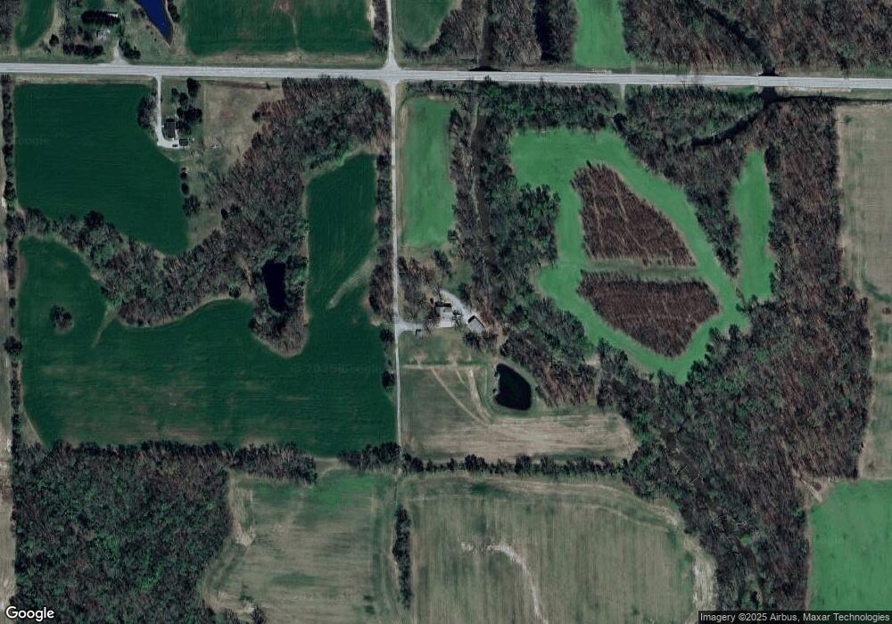
Map
Nearby Homes
- 17726 Quiet Acres Rd
- 602 W William St
- 601 W Callie St
- 415 S Park St
- 515 S Elm St
- 1015 S Locust St
- 209 W Florence St
- 5628 Coal St
- 105 W Callie St
- 803 S Cockrum St
- 103 E North St
- 14798 Cherry St
- 502 E Matthew St
- Lot 1 Pecan Rd
- 3538 Bell Ln
- 14854 Sesser Lake Rd
- 9721 Fox Hunters Rd
- 000 N Lodge Ln
- 105 E Benedict St
- 204 W Gelston St
- 0 Thompson Rd Unit 4312871
- 0 Thompson Rd Unit 4010760
- 10085 State Rte 154
- 10040 State Rte 154
- 2306 State Highway 154
- 2363 Orchard Rd
- 2412 State Highway 154
- 3703 Thompson Rd
- 2460 State Highway 154
- 2640 State Highway 154
- 2479 Orchard Rd
- 14714 Sunset Rd
- 14270 Sunset Rd
- 2506 St Highway 154
- 10099 Titmouse Rd
- 2506 State Highway 154
- 14528 Sunset Rd
- 14172 Sunset Rd
- 2570 State Highway 154
- 2578 Orchard Rd
Your Personal Tour Guide
Ask me questions while you tour the home.