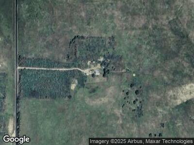
10573 N Maxwell Rd Maxwell, NE 69151
Estimated Value: $176,000 - $349,590
2
Beds
1
Bath
1,387
Sq Ft
$201/Sq Ft
Est. Value
About This Home
This home is located at 10573 N Maxwell Rd, Maxwell, NE 69151 and is currently estimated at $278,197, approximately $200 per square foot. 10573 N Maxwell Rd is a home located in Lincoln County with nearby schools including Maxwell Elementary School and Maxwell High School.
Create a Home Valuation Report for This Property
The Home Valuation Report is an in-depth analysis detailing your home's value as well as a comparison with similar homes in the area
Home Values in the Area
Average Home Value in this Area
Mortgage History
| Date | Status | Borrower | Loan Amount |
|---|---|---|---|
| Closed | Fletcher Morgan D | $68,000 | |
| Closed | Fletcher Margan | $30,000 |
Source: Public Records
Tax History Compared to Growth
Tax History
| Year | Tax Paid | Tax Assessment Tax Assessment Total Assessment is a certain percentage of the fair market value that is determined by local assessors to be the total taxable value of land and additions on the property. | Land | Improvement |
|---|---|---|---|---|
| 2024 | $2,016 | $247,697 | $197,197 | $50,500 |
| 2023 | $3,254 | $261,955 | $178,352 | $83,603 |
| 2022 | $3,219 | $236,197 | $166,727 | $69,470 |
| 2021 | $2,996 | $222,397 | $152,927 | $69,470 |
| 2020 | $2,956 | $204,635 | $136,705 | $67,930 |
| 2019 | $2,634 | $187,101 | $119,171 | $67,930 |
| 2018 | $2,579 | $186,920 | $118,990 | $67,930 |
| 2017 | $2,766 | $194,010 | $126,080 | $67,930 |
| 2016 | $2,835 | $181,900 | $113,970 | $67,930 |
| 2014 | $1,850 | $127,175 | $79,185 | $47,990 |
Source: Public Records
Map
Nearby Homes
- 21611 E Slant Rd
- 109 W Highway 30
- 151 Mill Park Dr
- 0 N Sandhill Rd
- 520 E Suburban Rd
- LOT 12 Crow Brothers Sub
- 1421 E 10th St
- 2209 E D St
- 1122 E 9th St
- 1801 Burlington Blvd
- 415 E 12th St
- 507 E 10th St
- 1012 N Walnut St
- 0 E 2nd St
- 2201 E 2nd St
- 520 S York Ave
- 708 S Mccabe Ave
- 821 1/2 S Mccabe Ave
- 821 S Meyer Ave
- 2111 Iron Eagle Ct