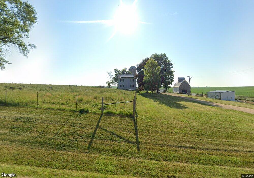
10575 Benson Rd Lanark, IL 61046
Estimated Value: $204,544 - $278,000
4
Beds
2
Baths
1,688
Sq Ft
$142/Sq Ft
Est. Value
About This Home
This home is located at 10575 Benson Rd, Lanark, IL 61046 and is currently estimated at $239,136, approximately $141 per square foot. 10575 Benson Rd is a home located in Carroll County with nearby schools including Eastland Elementary School and Eastland Junior-Senior High School.
Ownership History
Date
Name
Owned For
Owner Type
Purchase Details
Closed on
Jun 30, 2015
Sold by
Stephenson Todd R and Stephenson Luann J
Bought by
Feltmeyer Jordan M and Feltmeyer Cynthia J
Current Estimated Value
Home Financials for this Owner
Home Financials are based on the most recent Mortgage that was taken out on this home.
Original Mortgage
$160,050
Outstanding Balance
$126,474
Interest Rate
4.25%
Mortgage Type
New Conventional
Estimated Equity
$112,662
Create a Home Valuation Report for This Property
The Home Valuation Report is an in-depth analysis detailing your home's value as well as a comparison with similar homes in the area
Purchase History
| Date | Buyer | Sale Price | Title Company |
|---|---|---|---|
| Feltmeyer Jordan M | $165,100 | Attorney Only |
Source: Public Records
Mortgage History
| Date | Status | Borrower | Loan Amount |
|---|---|---|---|
| Open | Feltmeyer Jordan M | $160,050 |
Source: Public Records
Tax History
| Year | Tax Paid | Tax Assessment Tax Assessment Total Assessment is a certain percentage of the fair market value that is determined by local assessors to be the total taxable value of land and additions on the property. | Land | Improvement |
|---|---|---|---|---|
| 2024 | $2,073 | $41,806 | $5,146 | $36,660 |
| 2023 | $2,073 | $37,459 | $4,579 | $32,880 |
| 2022 | $2,026 | $36,960 | $4,080 | $32,880 |
| 2021 | $2,117 | $37,238 | $4,358 | $32,880 |
| 2020 | $2,198 | $38,656 | $5,776 | $32,880 |
| 2019 | $2,245 | $38,656 | $5,776 | $32,880 |
| 2018 | $2,277 | $38,656 | $5,776 | $32,880 |
| 2017 | $2,010 | $38,656 | $5,776 | $32,880 |
| 2016 | $1,750 | $31,197 | $5,776 | $25,421 |
| 2015 | $1,743 | $31,197 | $5,776 | $25,421 |
| 2014 | $2,262 | $41,003 | $15,582 | $25,421 |
| 2013 | $2,262 | $41,003 | $15,582 | $25,421 |
Source: Public Records
Map
Nearby Homes
- 205 Illinois 64
- 629 E Locust St
- 515 Hill St
- 328 E Carroll St
- 108 SW Lanark Ave
- 108 SW Lanark Ave Unit 110 SW Lanark Avenue
- 13-143 Newberry Ct
- 23205 Blackberry Ct
- 20-31 & 32 Fox Run Dr
- 3-499 Shady Ln
- 23633 Carroll Rd
- 27754 Elm Rd
- 27375 Illinois 40
- 30-45 Brookside Dr
- 503 N Main St
- 21-59 Lake Carroll Blvd
- 22-6 Lakewood Ct
- 22-2 Lakewood Ct
- 21-54 Old Wharf Rd
- 21-51 Marina Ct
- 10137 Benson Rd
- 10974 Benson Rd
- 10136 Benson Rd
- 24444 Cyclone Ridge Rd
- 10019 Benson Rd
- 11194 Benson Rd
- 9957 Benson Rd
- 11280 Benson Rd
- 11327 Benson Rd
- 9900 Benson Rd
- 24905 Cyclone Ridge Rd
- 11456 Benson Rd
- 24111 Cyclone Ridge Rd
- 26384A Us Highway 52
- 26384 Us Highway 52
- 24050 Cyclone Ridge Rd
- 10121 Center Dr
- 24102 Cyclone Ridge Rd
- 9857 Center Dr
Your Personal Tour Guide
Ask me questions while you tour the home.