10575 Mizpah Cir Reno, NV 89508
Stead NeighborhoodEstimated Value: $515,000 - $655,000
3
Beds
2
Baths
1,498
Sq Ft
$385/Sq Ft
Est. Value
About This Home
This home is located at 10575 Mizpah Cir, Reno, NV 89508 and is currently estimated at $577,370, approximately $385 per square foot. 10575 Mizpah Cir is a home located in Washoe County with nearby schools including Desert Heights Elementary School, Cold Springs Middle Schools, and North Valleys High School.
Ownership History
Date
Name
Owned For
Owner Type
Purchase Details
Closed on
Feb 26, 1998
Sold by
First Deposit National Bank
Bought by
Pugh Robert L and Pugh Koyya A
Current Estimated Value
Home Financials for this Owner
Home Financials are based on the most recent Mortgage that was taken out on this home.
Original Mortgage
$133,000
Outstanding Balance
$24,073
Interest Rate
6.9%
Estimated Equity
$553,297
Purchase Details
Closed on
Jul 23, 1997
Sold by
Mowers George D and Mowers Patricia J
Bought by
First Deposit National Bank
Create a Home Valuation Report for This Property
The Home Valuation Report is an in-depth analysis detailing your home's value as well as a comparison with similar homes in the area
Home Values in the Area
Average Home Value in this Area
Purchase History
| Date | Buyer | Sale Price | Title Company |
|---|---|---|---|
| Pugh Robert L | $140,000 | Founders Title Co | |
| First Deposit National Bank | $115,300 | Founders Title Co |
Source: Public Records
Mortgage History
| Date | Status | Borrower | Loan Amount |
|---|---|---|---|
| Open | Pugh Robert L | $133,000 |
Source: Public Records
Tax History Compared to Growth
Tax History
| Year | Tax Paid | Tax Assessment Tax Assessment Total Assessment is a certain percentage of the fair market value that is determined by local assessors to be the total taxable value of land and additions on the property. | Land | Improvement |
|---|---|---|---|---|
| 2025 | $1,672 | $70,412 | $39,900 | $30,512 |
| 2024 | $1,672 | $71,892 | $39,900 | $31,992 |
| 2023 | $1,624 | $71,084 | $39,900 | $31,184 |
| 2022 | $1,577 | $58,393 | $31,588 | $26,806 |
| 2021 | $1,531 | $48,719 | $21,280 | $27,439 |
| 2020 | $1,485 | $49,535 | $21,280 | $28,255 |
| 2019 | $1,441 | $49,630 | $21,679 | $27,951 |
| 2018 | $1,399 | $43,892 | $15,827 | $28,065 |
| 2017 | $1,358 | $43,691 | $14,963 | $28,728 |
| 2016 | $1,324 | $43,084 | $13,599 | $29,485 |
| 2015 | $1,321 | $42,425 | $11,737 | $30,688 |
| 2014 | $1,283 | $40,721 | $10,407 | $30,314 |
| 2013 | -- | $38,440 | $8,047 | $30,393 |
Source: Public Records
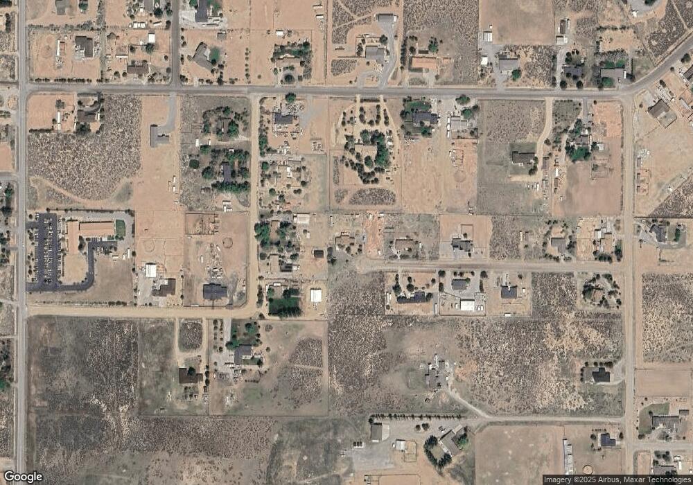
Map
Nearby Homes
- 00 Plata Mesa Dr
- 10725 Santa fe Rd
- 8350 Osage Rd
- 10300 Sutters Mill Ln
- 10605 Osage Rd
- 11150 Carlsbad Rd
- 10705 Silver Spur Dr
- 10035 Osage Rd
- 0 N Red Rock Rd Unit 250000494
- 9500 N Red Rock Rd
- 10150 Coyote Run Ct
- 7663 Crystal Shores Dr
- 8275 Shifting Sands Dr Unit 21
- 8720 Malibu Dr
- 8880 Silverkist Dr
- 7956 White Falls Dr
- 7973 Moss Creek Dr
- 8678 Strutter Way
- 8451 Seal Beach Dr
- 13790 Mount Babcock St
- 10555 Mizpah Cir
- 10540 Mizpah Cir
- 10550 Trailmaster Dr
- 10570 Plata Mesa Dr
- 10530 Trailmaster Dr
- 10510 Trailmaster Dr
- 10570 Trailmaster Dr
- 10535 Mizpah Cir
- 0 Trailmaster Dr
- 10520 Plata Mesa Dr
- 10640 Plata Mesa Dr
- 10595 Trailmaster Dr
- 10660 Plata Mesa Dr
- 10460 Custer Rd
- 10520 Mizpah Cir
- 10585 Trailmaster Dr
- 10700 Plata Mesa Dr
- 10575 Plata Mesa Dr
- 10515 Plata Mesa Dr
- 10615 Plata Mesa Dr