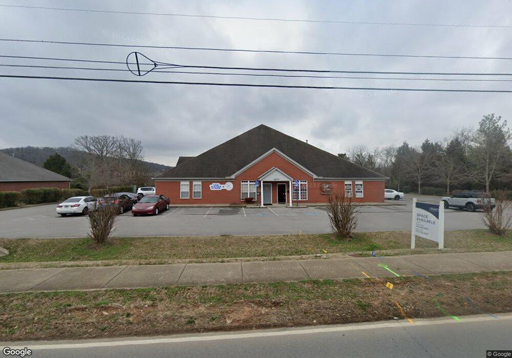
10579 Cedar Grove Rd Smyrna, TN 37167
Estimated Value: $2,206,419
--
Bed
7
Baths
9,600
Sq Ft
$230/Sq Ft
Est. Value
About This Home
This home is located at 10579 Cedar Grove Rd, Smyrna, TN 37167 and is currently estimated at $2,206,419, approximately $229 per square foot. 10579 Cedar Grove Rd is a home located in Rutherford County with nearby schools including Rocky Fork Elementary School, Rocky Fork Middle School, and Smyrna High School.
Ownership History
Date
Name
Owned For
Owner Type
Purchase Details
Closed on
Aug 21, 2024
Sold by
Barrett Malcom Lee and Barrett Pamela Kaye
Bought by
Pamela Kaye Barrett Revocable Trust and Barrett
Current Estimated Value
Purchase Details
Closed on
May 13, 2013
Sold by
Katie Enterprises Gp
Bought by
Barrett M Lee
Home Financials for this Owner
Home Financials are based on the most recent Mortgage that was taken out on this home.
Original Mortgage
$650,000
Interest Rate
3.44%
Mortgage Type
Commercial
Purchase Details
Closed on
Oct 31, 2012
Sold by
Katie Enterprises
Bought by
Katie Enterprises Gp
Purchase Details
Closed on
Jan 21, 2004
Sold by
Barrett and Lanna
Bought by
Katie Enterprises
Home Financials for this Owner
Home Financials are based on the most recent Mortgage that was taken out on this home.
Original Mortgage
$700,000
Interest Rate
5.85%
Mortgage Type
Commercial
Create a Home Valuation Report for This Property
The Home Valuation Report is an in-depth analysis detailing your home's value as well as a comparison with similar homes in the area
Home Values in the Area
Average Home Value in this Area
Purchase History
| Date | Buyer | Sale Price | Title Company |
|---|---|---|---|
| Pamela Kaye Barrett Revocable Trust | -- | None Listed On Document | |
| Barrett M Lee | $825,000 | -- | |
| Katie Enterprises Gp | -- | -- | |
| Katie Enterprises | -- | -- |
Source: Public Records
Mortgage History
| Date | Status | Borrower | Loan Amount |
|---|---|---|---|
| Previous Owner | Barrett M Lee | $650,000 | |
| Previous Owner | Katie Enterprises | $700,000 |
Source: Public Records
Tax History Compared to Growth
Tax History
| Year | Tax Paid | Tax Assessment Tax Assessment Total Assessment is a certain percentage of the fair market value that is determined by local assessors to be the total taxable value of land and additions on the property. | Land | Improvement |
|---|---|---|---|---|
| 2025 | -- | $716,880 | $324,520 | $392,360 |
| 2024 | -- | $716,880 | $324,520 | $392,360 |
| 2023 | $17,219 | $716,880 | $324,520 | $392,360 |
| 2022 | $15,355 | $716,880 | $324,520 | $392,360 |
| 2021 | $16,135 | $552,520 | $245,880 | $306,640 |
| 2020 | $16,135 | $552,520 | $245,880 | $306,640 |
| 2019 | $16,135 | $552,520 | $245,880 | $306,640 |
Source: Public Records
Map
Nearby Homes
- 374 Rock Springs Rd
- 532 Johnstown Dr
- 540 Johnstown Dr
- 416 Mountain View Ct
- 715 Saint Francis Ave
- 502 Johnstown Dr
- 650 Spring Hill Dr
- Harper Plan at Cedar Grove Village
- Camden Plan at Cedar Grove Village
- 103 Crestside Ct
- 470 Lydia Ashley Ln
- 200 Tyler Cornerstone Trail
- 308 Andrew Tate Ave
- 320 Chaney Rd
- 304 Andrew Tate Ave
- 305 Nasturtium Way
- 300 Andrew Tate Ave
- 502 Saint Francis Ave
- 494 Lydia Ashley Ln
- 498 Lydia Ashley Ln
- 10543 Cedar Grove Rd
- 851 Medical Park
- 742 President Place
- 860 Medical Park
- 654 Potomac Place
- 652 Potomac Place
- 650 Potomac Place
- 648 Potomac Place
- 599 Sam Ridley Pkwy W
- 537 Stonecrest Pkwy
- 646 Potomac Place
- 644 Potomac Place
- 1826 Rock Springs Rd
- 642 Potomac Place
- 1682 Rock Springs Rd
- 1702 Rock Springs Rd
- 661 Potomac Place
- 640 Potomac Place
- 721 President Place
- 659 Potomac Place