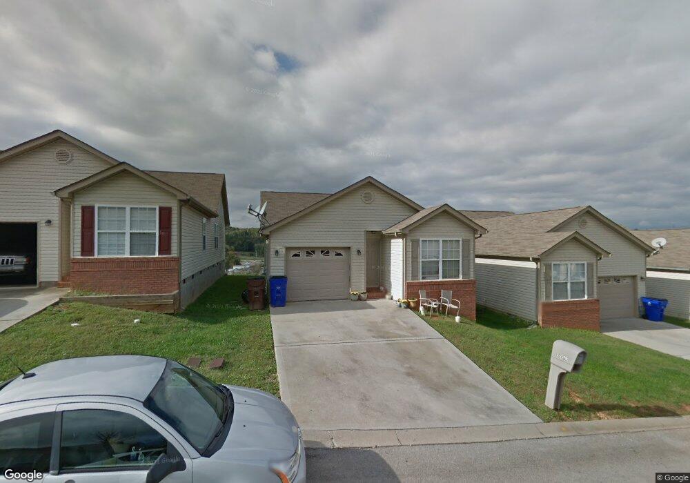
10579 Missoula Way Knoxville, TN 37932
West Knoxville NeighborhoodEstimated Value: $252,000 - $297,000
3
Beds
2
Baths
1,070
Sq Ft
$262/Sq Ft
Est. Value
About This Home
This home is located at 10579 Missoula Way, Knoxville, TN 37932 and is currently estimated at $280,439, approximately $262 per square foot. 10579 Missoula Way is a home located in Knox County with nearby schools including Ball Camp Elementary School, Cedar Bluff Middle School, and Hardin Valley Academy.
Ownership History
Date
Name
Owned For
Owner Type
Purchase Details
Closed on
Apr 26, 2023
Sold by
King Of Kings Llc
Bought by
Mz Knoxville Sfr Llc
Current Estimated Value
Purchase Details
Closed on
Dec 14, 2009
Sold by
Cardinal Enterprises Llc
Bought by
Apollo Investment Properties Llc
Purchase Details
Closed on
Feb 18, 2003
Sold by
Carlton Enterprises Inc and Carlton John L
Bought by
Home Federal Bank Of Tennessee
Create a Home Valuation Report for This Property
The Home Valuation Report is an in-depth analysis detailing your home's value as well as a comparison with similar homes in the area
Home Values in the Area
Average Home Value in this Area
Purchase History
| Date | Buyer | Sale Price | Title Company |
|---|---|---|---|
| Mz Knoxville Sfr Llc | -- | None Listed On Document | |
| Apollo Investment Properties Llc | -- | None Available | |
| Home Federal Bank Of Tennessee | $2,750,000 | -- |
Source: Public Records
Tax History Compared to Growth
Tax History
| Year | Tax Paid | Tax Assessment Tax Assessment Total Assessment is a certain percentage of the fair market value that is determined by local assessors to be the total taxable value of land and additions on the property. | Land | Improvement |
|---|---|---|---|---|
| 2024 | $701 | $45,100 | $0 | $0 |
| 2023 | $701 | $45,100 | $0 | $0 |
| 2022 | $701 | $45,100 | $0 | $0 |
| 2021 | $611 | $28,800 | $0 | $0 |
| 2020 | $611 | $28,800 | $0 | $0 |
| 2019 | $611 | $28,800 | $0 | $0 |
| 2018 | $611 | $28,800 | $0 | $0 |
| 2017 | $611 | $28,800 | $0 | $0 |
| 2016 | $928 | $0 | $0 | $0 |
| 2015 | $1,034 | $0 | $0 | $0 |
| 2014 | $1,034 | $0 | $0 | $0 |
Source: Public Records
Map
Nearby Homes
- 10548 Lone Star Way
- 10220 Colt Haven Dr
- 1177 Hamilton Farm Ln
- 1714 Yearling Rd
- 1801 Plumb Branch Rd
- 1909 Cedardale Ln
- 10320 Boston Ln
- 1145 Hamilton Farm Ln
- 10517 Odin St
- 10609 Sprawls Point
- 1844 Pinestraw Ln
- 1055 Blinken St
- 1933 Plumb Creek Cir
- 10300 Mantooth Ln
- 2013 Thompson Rd
- 10604 Alameda Dr
- 1300 Whittbier Dr
- 10732 Yarnell Rd
- 10319 Harrison Springs Ln
- 1615 Starboard Way Unit 36
- 10583 Missoula Way
- 10575 Missoula Way
- 10575 Missoula Way Unit Devinshire Unit IV
- 10587 Missoula Way
- 10571 Missoula Way
- 10591 Missoula Way
- 10567 Missoula Way
- 10567 Missoula Way Unit Devinshire Unit IV
- 10595 Missoula Way
- 10563 Missoula Way
- 10601 Missoula Way
- 10559 Missoula Way
- 10604 Bitteroot Way
- 1674 Sails Way
- 10608 Bitteroot Way
- 10608 Bitteroot Way Unit 3
- 10600 Bitteroot Way
- 1666 Sails Way Unit III
- 10605 Missoula Way
- 10580 Missoula Way