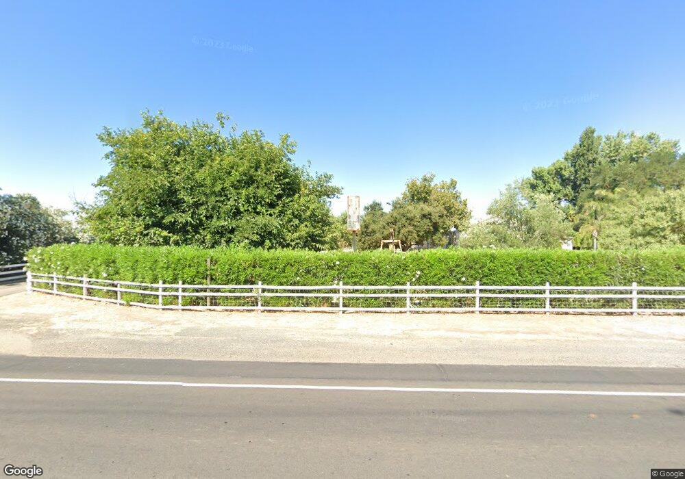
10583 S Airport Way Manteca, CA 95336
Estimated Value: $623,000 - $1,119,143
3
Beds
3
Baths
2,026
Sq Ft
$404/Sq Ft
Est. Value
About This Home
This home is located at 10583 S Airport Way, Manteca, CA 95336 and is currently estimated at $818,786, approximately $404 per square foot. 10583 S Airport Way is a home located in San Joaquin County with nearby schools including French Camp Elementary School, East Union High School, and BE.TECH Charter High School.
Ownership History
Date
Name
Owned For
Owner Type
Purchase Details
Closed on
Sep 23, 1997
Sold by
Davis Gerald L and Davis P M
Bought by
Fontana Mark and Fontana Michelle Q
Current Estimated Value
Home Financials for this Owner
Home Financials are based on the most recent Mortgage that was taken out on this home.
Original Mortgage
$214,600
Interest Rate
7.54%
Create a Home Valuation Report for This Property
The Home Valuation Report is an in-depth analysis detailing your home's value as well as a comparison with similar homes in the area
Home Values in the Area
Average Home Value in this Area
Purchase History
| Date | Buyer | Sale Price | Title Company |
|---|---|---|---|
| Fontana Mark | $270,000 | Chicago Title Co |
Source: Public Records
Mortgage History
| Date | Status | Borrower | Loan Amount |
|---|---|---|---|
| Previous Owner | Fontana Mark | $214,600 |
Source: Public Records
Tax History Compared to Growth
Tax History
| Year | Tax Paid | Tax Assessment Tax Assessment Total Assessment is a certain percentage of the fair market value that is determined by local assessors to be the total taxable value of land and additions on the property. | Land | Improvement |
|---|---|---|---|---|
| 2025 | $10,270 | $750,320 | $213,023 | $537,297 |
| 2024 | $9,877 | $735,609 | $208,847 | $526,762 |
| 2023 | $8,454 | $721,186 | $204,752 | $516,434 |
| 2022 | $8,144 | $696,510 | $200,738 | $495,772 |
| 2021 | $8,059 | $682,853 | $196,802 | $486,051 |
| 2020 | $7,749 | $675,853 | $194,785 | $481,068 |
| 2019 | $7,575 | $662,602 | $190,966 | $471,636 |
| 2018 | $7,476 | $649,611 | $187,222 | $462,389 |
| 2017 | $7,369 | $636,874 | $183,551 | $453,323 |
| 2016 | $7,198 | $624,392 | $179,953 | $444,439 |
| 2014 | $6,637 | $598,967 | $173,778 | $425,189 |
Source: Public Records
Map
Nearby Homes
- 1842 E Palm Tree Ln
- 10433 Jethro Ln
- 9688 S Airport Way
- 10016 S Priest Rd
- 2521 Coelho Rd
- 11385 S Union Rd
- 12484 S Union Rd
- 1665 River Birch St
- 1626 River Birch St
- 2970 Cotton Briar Ln
- 2961 Clear Point Way
- 1672 Arbor Brook Dr
- 1377 Arbor Brook Dr
- 2105 N Airport Way
- 13400 Forestwood Way
- 911 Englewood Way
- 601 Olivine Ave
- Barcelona Plan at The Estates - Rosewood at the Estates
- Brisbane Plan at The Estates - Rosewood at the Estates
- Macon II Plan at The Estates - Rosewood at the Estates
- 10574 S Airport Way
- 10692 S Airport Way
- 10488 S Airport Way
- 1212 Fisk Rd
- 10425 S Airport Way
- 10694 S Airport Way
- 10779 S Airport Way
- 10712 S Airport Way
- 1148 Fisk Rd
- 10411 S Airport Way
- 1166 Fisk Rd
- 10656 S Airport Way
- 10722 S Airport Way
- 1187 Fisk Rd
- 10744 S Airport Way
- 10378 S Airport Way
- 10343 S Airport Way
- 1155 Fisk Rd
- 1110 Fisk Rd
- 10948 S Airport Way
