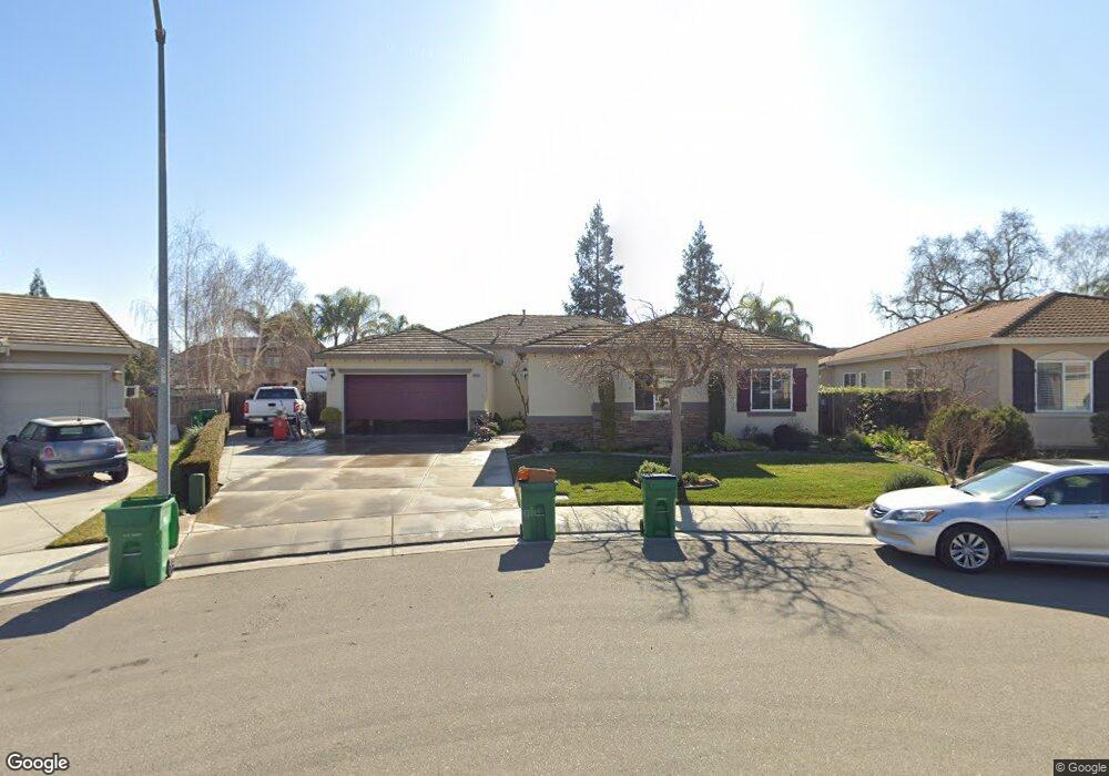
10585 Cornerstone Cir Stockton, CA 95209
Spanos Park NeighborhoodEstimated Value: $601,000 - $693,552
4
Beds
3
Baths
2,686
Sq Ft
$241/Sq Ft
Est. Value
About This Home
This home is located at 10585 Cornerstone Cir, Stockton, CA 95209 and is currently estimated at $648,638, approximately $241 per square foot. 10585 Cornerstone Cir is a home located in San Joaquin County with nearby schools including John Muir Elementary School, Christa McAuliffe Middle School, and Bear Creek High School.
Ownership History
Date
Name
Owned For
Owner Type
Purchase Details
Closed on
Dec 28, 2012
Sold by
Ness Roger Jon and Ness Terri Lynn
Bought by
Ness Roger J and Ness Terri L
Current Estimated Value
Purchase Details
Closed on
Feb 17, 2004
Sold by
Woodside Waterford Estates Inc
Bought by
Woodside Ashbourne Inc
Purchase Details
Closed on
Aug 18, 2003
Sold by
Woodside Ashbourne Inc
Bought by
Ness Roger Jon and Ness Terri Lynn
Create a Home Valuation Report for This Property
The Home Valuation Report is an in-depth analysis detailing your home's value as well as a comparison with similar homes in the area
Home Values in the Area
Average Home Value in this Area
Purchase History
| Date | Buyer | Sale Price | Title Company |
|---|---|---|---|
| Ness Roger J | -- | None Available | |
| Woodside Ashbourne Inc | -- | Placer Title Company | |
| Ness Roger Jon | $363,500 | Central Valley Title Company |
Source: Public Records
Tax History Compared to Growth
Tax History
| Year | Tax Paid | Tax Assessment Tax Assessment Total Assessment is a certain percentage of the fair market value that is determined by local assessors to be the total taxable value of land and additions on the property. | Land | Improvement |
|---|---|---|---|---|
| 2025 | $7,410 | $535,554 | $153,543 | $382,011 |
| 2024 | $7,289 | $525,054 | $150,533 | $374,521 |
| 2023 | $7,235 | $514,760 | $147,582 | $367,178 |
| 2022 | $7,039 | $504,668 | $144,689 | $359,979 |
| 2021 | $7,155 | $494,773 | $141,852 | $352,921 |
| 2020 | $7,016 | $489,701 | $140,398 | $349,303 |
| 2019 | $6,828 | $480,100 | $137,646 | $342,454 |
| 2018 | $6,719 | $470,688 | $134,948 | $335,740 |
| 2017 | $5,917 | $406,000 | $116,000 | $290,000 |
| 2016 | $5,990 | $401,000 | $115,000 | $286,000 |
| 2014 | $5,345 | $355,000 | $107,000 | $248,000 |
Source: Public Records
Map
Nearby Homes
- 10622 Waterbury Dr
- 2120 Lonnie Beck Way
- 10647 Spring Creek Place
- 10242 Creek Trail Cir
- 10148 Tony Ct
- 10628 Hidden Grove Cir
- 2140 Orvis Dr
- 10014 River Bluff Ln
- 1927 Gerber Dr
- 2630 Eagle Rock Cir
- 1903 Chaparral Way
- 9896 Thornton Rd
- 1145 Hartwell Ave
- 2433 Broadridge Way
- 1146 Cypress Run Dr
- 10636 Elkhorn Dr
- 3010 Joshua Tree Cir
- 3081 Joshua Tree Cir
- 2607 Summerfield Dr
- 2316 Otto Dr
- 10579 Cornerstone Cir
- 10591 Cornerstone Cir
- 10499 Big Oak Cir
- 10491 Big Oak Cir
- 10505 Big Oak Cir
- 10485 Big Oak Cir
- 10511 Big Oak Cir
- 10573 Cornerstone Cir
- 10523 Waterbury Dr
- 10597 Cornerstone Cir
- 10531 Waterbury Dr
- 10479 Big Oak Cir
- 10588 Cornerstone Cir
- 10539 Waterbury Dr
- 10517 Big Oak Cir
- 10596 Cornerstone Cir
- 10567 Cornerstone Cir
- 10473 Big Oak Cir
- 10603 Cornerstone Cir
- 10480 Big Sky Way