10589 Highway 127 N Crossville, TN 38571
Estimated Value: $204,000 - $393,000
--
Bed
2
Baths
1,392
Sq Ft
$215/Sq Ft
Est. Value
About This Home
This home is located at 10589 Highway 127 N, Crossville, TN 38571 and is currently estimated at $298,714, approximately $214 per square foot. 10589 Highway 127 N is a home located in Cumberland County with nearby schools including North Cumberland Elementary School, Stone Memorial High School, and Liberty Christian Academy.
Ownership History
Date
Name
Owned For
Owner Type
Purchase Details
Closed on
Sep 24, 2025
Sold by
Goin Claudia H
Bought by
State Of Tennessee
Current Estimated Value
Purchase Details
Closed on
Sep 16, 1999
Sold by
Hood Harold G
Bought by
Goin Howard R
Purchase Details
Closed on
Aug 14, 1989
Bought by
Hood Harold G
Purchase Details
Closed on
Sep 17, 1987
Bought by
Wright Don Junior and Wright Joyce C
Create a Home Valuation Report for This Property
The Home Valuation Report is an in-depth analysis detailing your home's value as well as a comparison with similar homes in the area
Home Values in the Area
Average Home Value in this Area
Purchase History
| Date | Buyer | Sale Price | Title Company |
|---|---|---|---|
| State Of Tennessee | $36,705 | None Listed On Document | |
| Goin Howard R | $126,900 | -- | |
| Hood Harold G | $10,500 | -- | |
| Wright Don Junior | $10,000 | -- |
Source: Public Records
Tax History Compared to Growth
Tax History
| Year | Tax Paid | Tax Assessment Tax Assessment Total Assessment is a certain percentage of the fair market value that is determined by local assessors to be the total taxable value of land and additions on the property. | Land | Improvement |
|---|---|---|---|---|
| 2024 | $755 | $66,500 | $11,750 | $54,750 |
| 2023 | $755 | $66,500 | $0 | $0 |
| 2022 | $755 | $66,500 | $11,750 | $54,750 |
| 2021 | $697 | $44,550 | $11,750 | $32,800 |
| 2020 | $697 | $44,550 | $11,750 | $32,800 |
| 2019 | $697 | $44,550 | $11,750 | $32,800 |
| 2018 | $697 | $44,550 | $11,750 | $32,800 |
| 2017 | $697 | $44,550 | $11,750 | $32,800 |
| 2016 | $656 | $42,950 | $11,750 | $31,200 |
| 2015 | $643 | $42,950 | $11,750 | $31,200 |
| 2014 | $643 | $42,946 | $0 | $0 |
Source: Public Records
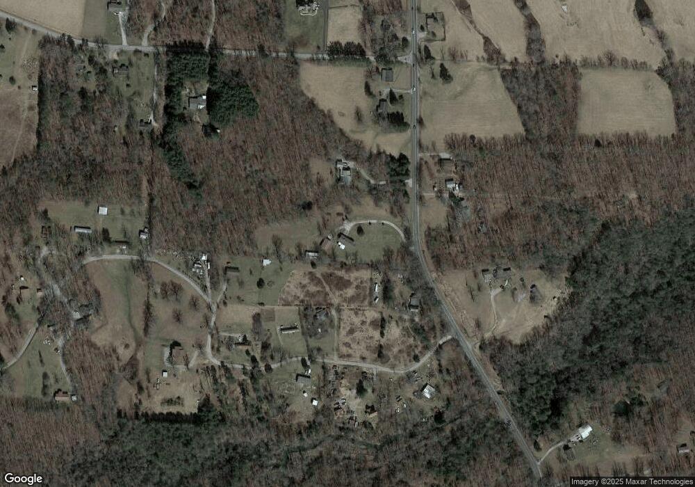
Map
Nearby Homes
- 0 Catoosa Ridge Dr Unit 1317380
- 0 Catoosa Ridge Dr Unit 1317379
- 0 Catoosa Ridge Dr Unit 1317378
- 0 Catoosa Ridge Dr Unit 1317347
- 0 Catoosa Ridge Dr Unit 1317345
- 0 Catoosa Ridge Dr Unit 1317343
- 0 Catoosa Ridge Dr Unit 1287629
- 0 Catoosa Ridge Dr Unit 1253971
- 0 Catoosa Ridge Dr Unit 1252274
- 90 Byers Ln
- 11229 Highway 127 N
- 601 Foxwood Dr
- 10 Black Bear Ct
- 94 Wistarbrook Dr
- 1541 Clear Creek Rd
- 127 Bluff View Loop
- 21 Bluff View Loop
- 268 Plateau Rd
- 8903 U S 127
- 8903 Highway 127 N
- 10647 Highway 127 N
- 122 Leland Pryor Rd
- 22 Leland Pryor Rd
- 270 Leland Price Rd
- 270 Leland Pryor Rd
- 10634 Highway 127 N
- 10636 Highway 127 N
- 15 Clear Creek Rd
- 10670 Highway 127 N
- 143 Leland Pryor Rd
- 00 Leland Pryor Rd
- 83 Leland Pryor Rd
- 183 Clear Creek Rd
- 18 No Business Ln
- 241 Leland Pryor Rd
- 340 Leland Pryor Rd
- 181 Clear Creek Rd
- 181 Clear Creek Rd
- 12 No Business Ln
- 225 Clear Creek Rd