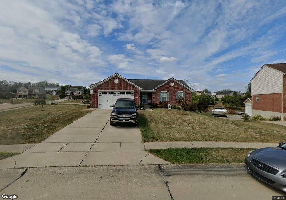
10590 Williamswoods Dr Independence, KY 41051
Estimated Value: $313,000 - $407,000
3
Beds
2
Baths
1,522
Sq Ft
$227/Sq Ft
Est. Value
About This Home
This home is located at 10590 Williamswoods Dr, Independence, KY 41051 and is currently estimated at $345,955, approximately $227 per square foot. 10590 Williamswoods Dr is a home located in Kenton County with nearby schools including Kenton Elementary School, Twenhofel Middle School, and Simon Kenton High School.
Ownership History
Date
Name
Owned For
Owner Type
Purchase Details
Closed on
Apr 7, 2015
Sold by
Baker Donald Edward
Bought by
Mcdaniel Irvin and Mcdaniel Naomi C
Current Estimated Value
Purchase Details
Closed on
Dec 3, 2004
Sold by
Arlinghaus I Llc
Bought by
Baker Donald Edward
Home Financials for this Owner
Home Financials are based on the most recent Mortgage that was taken out on this home.
Original Mortgage
$162,800
Interest Rate
5.62%
Mortgage Type
Purchase Money Mortgage
Create a Home Valuation Report for This Property
The Home Valuation Report is an in-depth analysis detailing your home's value as well as a comparison with similar homes in the area
Home Values in the Area
Average Home Value in this Area
Purchase History
| Date | Buyer | Sale Price | Title Company |
|---|---|---|---|
| Mcdaniel Irvin | $144,100 | None Available | |
| Baker Donald Edward | $171,466 | Advanced Land Title Agency |
Source: Public Records
Mortgage History
| Date | Status | Borrower | Loan Amount |
|---|---|---|---|
| Previous Owner | Baker Donald Edward | $162,800 |
Source: Public Records
Tax History Compared to Growth
Tax History
| Year | Tax Paid | Tax Assessment Tax Assessment Total Assessment is a certain percentage of the fair market value that is determined by local assessors to be the total taxable value of land and additions on the property. | Land | Improvement |
|---|---|---|---|---|
| 2024 | $1,591 | $176,200 | $40,000 | $136,200 |
| 2023 | $1,638 | $176,200 | $40,000 | $136,200 |
| 2022 | $1,777 | $176,200 | $40,000 | $136,200 |
| 2021 | $1,803 | $176,200 | $40,000 | $136,200 |
| 2020 | $1,515 | $150,000 | $40,000 | $110,000 |
| 2019 | $1,519 | $150,000 | $40,000 | $110,000 |
| 2018 | $1,549 | $150,000 | $40,000 | $110,000 |
| 2017 | $1,433 | $144,100 | $40,000 | $104,100 |
| 2015 | $2,319 | $144,100 | $30,000 | $114,100 |
| 2014 | $2,286 | $181,400 | $30,000 | $151,400 |
Source: Public Records
Map
Nearby Homes
- 1095 Audas Ct
- 1119 Brigade Rd
- 570 Old Bristow Rd
- 10452 Calvary Rd
- 1805 Autumn Maple Dr
- The Lancaster Plan at Williams Woods
- The Courtney Plan at Williams Woods
- The Ella Marie Plan at Williams Woods
- The Marietta Plan at Williams Woods
- The Verona Plan at Williams Woods
- The Avalon Plan at Williams Woods
- The Camden Plan at Williams Woods
- The Mariemont Plan at Williams Woods
- The Livingston Plan at Williams Woods
- The Westchester Plan at Williams Woods
- The Kendall Plan at Williams Woods
- The Waterson Plan at Williams Woods
- The Lincoln Plan at Williams Woods
- The Austin Plan at Williams Woods
- The Leighann Plan at Williams Woods
- 1142 Pinewood Dr
- 10586 Williamswoods Dr
- 10586 Williamswoods Dr Unit 49WW
- 10589 Williamswoods Dr
- 10582 Williamswoods Dr
- 10582 Williamswoods Dr Unit 48WW
- 1145 Pinewood Dr Unit 64WW
- 1138 Pinewood Dr
- 1141 Pinewood Dr
- 1141 Pinewood Dr Unit 63WW
- 10593 Williamswoods Dr
- 10593 Williamswoods Dr Unit 54WW
- 1135 Pinewood Dr
- 1134 Pinewood Dr
- 1134 Pinewood Dr Unit 92WW
- 10597 Williamswoods Dr
- 10602 Williamswoods Dr
- 10602 Williamswoods Dr Unit 65WW
- 1130 Pinewood Dr
- 1130 Pinewood Dr Unit 93WW