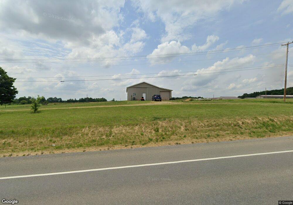
10595 Division Ave SW Wayland, MI 49348
Estimated Value: $463,000
3
Beds
1
Bath
1,628
Sq Ft
$284/Sq Ft
Est. Value
About This Home
This home is located at 10595 Division Ave SW, Wayland, MI 49348 and is currently priced at $463,000, approximately $284 per square foot. 10595 Division Ave SW is a home located in Kent County with nearby schools including Countryside Elementary School, Robert L. Nickels Intermediate School, and Byron Center West Middle School.
Ownership History
Date
Name
Owned For
Owner Type
Purchase Details
Closed on
Oct 22, 2021
Sold by
Excel Land Holdings Llc
Bought by
Tuttle Zachary and Tuttle Krystal
Current Estimated Value
Home Financials for this Owner
Home Financials are based on the most recent Mortgage that was taken out on this home.
Original Mortgage
$243,750
Outstanding Balance
$222,277
Interest Rate
2.8%
Mortgage Type
New Conventional
Purchase Details
Closed on
Jun 26, 2021
Sold by
Ferris Steven L and Ferris Rebecca M
Bought by
Excel Land Holdings Llc
Purchase Details
Closed on
Aug 1, 2018
Sold by
Ferris Steven L and Ferris Rebecca M
Bought by
Ferris Steven L and Ferris Rebecca M
Create a Home Valuation Report for This Property
The Home Valuation Report is an in-depth analysis detailing your home's value as well as a comparison with similar homes in the area
Home Values in the Area
Average Home Value in this Area
Purchase History
| Date | Buyer | Sale Price | Title Company |
|---|---|---|---|
| Tuttle Zachary | $380,000 | Chicago Title | |
| Excel Land Holdings Llc | $521,000 | Chicago Title Of Mi Inc | |
| Ferris Steven L | -- | None Available | |
| Ferris Steven L | -- | None Available |
Source: Public Records
Mortgage History
| Date | Status | Borrower | Loan Amount |
|---|---|---|---|
| Open | Tuttle Zachary | $243,750 |
Source: Public Records
Tax History Compared to Growth
Tax History
| Year | Tax Paid | Tax Assessment Tax Assessment Total Assessment is a certain percentage of the fair market value that is determined by local assessors to be the total taxable value of land and additions on the property. | Land | Improvement |
|---|---|---|---|---|
| 2021 | $3,021 | $180,000 | $0 | $0 |
| 2020 | $2,995 | $185,200 | $0 | $0 |
| 2019 | $4,230 | $175,400 | $0 | $0 |
| 2018 | $4,156 | $165,800 | $82,700 | $83,100 |
| 2017 | $4,101 | $148,100 | $0 | $0 |
| 2016 | $3,954 | $141,200 | $0 | $0 |
| 2015 | $3,852 | $141,200 | $0 | $0 |
| 2013 | -- | $125,000 | $0 | $0 |
Source: Public Records
Map
Nearby Homes
- 4653 Leighton Lakes Dr Unit 9
- 1054 Haven Ct SE
- 1110 Haven Ct SE
- 82 100th St SW
- 82 100th St SW
- 92 100th St SW
- 112 100th St SW
- 9440 Westview Dr SE
- 9669 Division Ave S
- 9144 Sailor Dr
- 353 Sorrento Dr SE
- 1069 108th St SW
- 4335 Tavistock Dr
- 4351 Hickory View Ct
- 4316 Sussex Place
- 4274 Butternut Dr
- Unit 111 Highpoint Dr
- 4273 Highpoint Dr Unit 112
- 8545 Division Ave S
- 8506 Division Ave S
- 10645 Division Ave SW
- 10775 Eastern Ave SE
- 10725 Eastern Ave SE
- 10724 Eastern Ave SE
- 10784 Eastern Ave SE
- 10747 Eastern Ave SE
- 10727 Eastern Ave SE
- 10614 Eastern Ave SE
- 10614 Eastern Ave SE Unit SE
- 10764 Eastern Ave SE
- 4786 10th St
- 4799 10th St
- 10624 Eastern Ave SE
- 10649 Eastern Ave SE
- 4781 10th St
- 10648 Eastern Ave SE
- 10650 Eastern Ave SE
- 10610 Eastern Ave SE
- 4777 10th St
- 10603 Eastern Ave SE