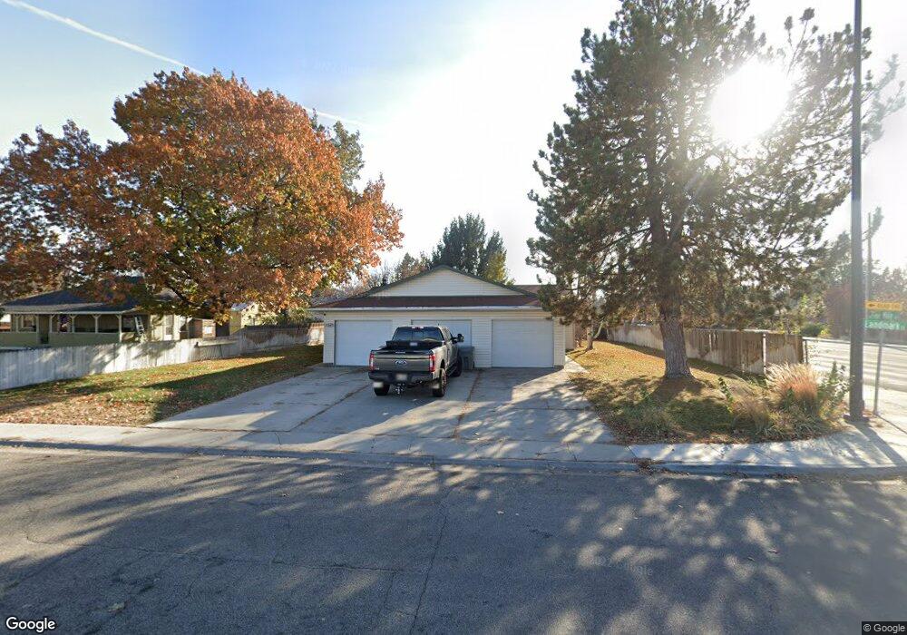
10597 W Landmark Ct Boise, ID 83704
West Boise NeighborhoodEstimated Value: $510,286 - $548,000
5
Beds
3
Baths
2,114
Sq Ft
$251/Sq Ft
Est. Value
About This Home
This home is located at 10597 W Landmark Ct, Boise, ID 83704 and is currently estimated at $530,322, approximately $250 per square foot. 10597 W Landmark Ct is a home located in Ada County with nearby schools including McMillan Elementary, Lowell Scott Middle School, and Centennial High School.
Ownership History
Date
Name
Owned For
Owner Type
Purchase Details
Closed on
Jun 16, 2015
Sold by
Safe Place Ministries Inc
Bought by
Gonzalez Ernest I and Gonzalez Margery C
Current Estimated Value
Home Financials for this Owner
Home Financials are based on the most recent Mortgage that was taken out on this home.
Original Mortgage
$117,375
Outstanding Balance
$90,552
Interest Rate
3.64%
Mortgage Type
New Conventional
Estimated Equity
$439,770
Purchase Details
Closed on
Mar 29, 2002
Sold by
Stoddard Joan M
Bought by
Safe Place Ministries Inc
Create a Home Valuation Report for This Property
The Home Valuation Report is an in-depth analysis detailing your home's value as well as a comparison with similar homes in the area
Home Values in the Area
Average Home Value in this Area
Purchase History
| Date | Buyer | Sale Price | Title Company |
|---|---|---|---|
| Gonzalez Ernest I | -- | Stewart Title | |
| Safe Place Ministries Inc | -- | Stewart Title |
Source: Public Records
Mortgage History
| Date | Status | Borrower | Loan Amount |
|---|---|---|---|
| Open | Gonzalez Ernest I | $117,375 |
Source: Public Records
Tax History Compared to Growth
Tax History
| Year | Tax Paid | Tax Assessment Tax Assessment Total Assessment is a certain percentage of the fair market value that is determined by local assessors to be the total taxable value of land and additions on the property. | Land | Improvement |
|---|---|---|---|---|
| 2025 | $3,162 | $469,800 | -- | -- |
| 2024 | $3,994 | $478,200 | -- | -- |
| 2023 | $3,994 | $573,800 | $0 | $0 |
| 2022 | $3,413 | $505,600 | $0 | $0 |
| 2021 | $3,581 | $408,400 | $0 | $0 |
| 2020 | $3,144 | $315,400 | $0 | $0 |
| 2019 | $3,658 | $285,600 | $0 | $0 |
| 2018 | $3,497 | $246,200 | $0 | $0 |
| 2017 | $2,738 | $181,300 | $0 | $0 |
| 2016 | $2,604 | $168,300 | $0 | $0 |
| 2015 | -- | $80,000 | $0 | $0 |
Source: Public Records
Map
Nearby Homes
- 1951 N Hampton Rd Unit B6
- 10838 W Tidewater Ct
- 10163 W Holt St
- 2573 & 2575 N Dusty Ln
- 11073 W Garverdale Ln
- 9936 W Holt St
- 2281 N Shaelyn Ln
- 2299 N Shaelyn Ln
- 2293 N Shaelyn Ln
- 9809 W Lupine St
- 10319 W Ardyce St
- 10742 W Ardyce Ln Unit 11
- 11349 W Marlinwood St
- 11336 W Poppy St
- 10369 W Florence Ln
- 11303 W Tahiti St
- 1722 N Timathy Ln Unit 32/1
- 1716 N Timathy Ln
- 1708 N Timathy Ln Unit Lot 30/1
- 1609 N Impreza Ln Unit Lot 24/1
- 10567 W Landmark Ct
- 10588 W Tidewater Ct
- 10566 W Tidewater Ct
- 10525 W Landmark Ct
- 2001 Charitan Dr
- 10550 W Tidewater Ct
- 10598 W Landmark Ct
- 1961 N Five Mile Rd
- 10566 W Landmark Ct
- 2000 Charitan Dr
- 2000 N Charitan Dr
- 10534 W Tidewater Ct
- 10501 W Landmark Ct
- 10524 W Landmark Ct
- 10524 & 10526 W Landmark Ct
- 2009 N Charitan Dr
- 10583 W Tidewater Ct
- 2009 Charitan Dr
- 2091 N Five Mile Rd
- 10569 W Tidewater Ct