106 22nd Ave W Polson, MT 59860
Estimated Value: $439,547 - $470,000
4
Beds
3
Baths
2,600
Sq Ft
$175/Sq Ft
Est. Value
About This Home
This home is located at 106 22nd Ave W, Polson, MT 59860 and is currently estimated at $453,887, approximately $174 per square foot. 106 22nd Ave W is a home located in Lake County with nearby schools including Cherry Valley School, Linderman Elementary School, and Polson Middle School (7-8).
Ownership History
Date
Name
Owned For
Owner Type
Purchase Details
Closed on
Jan 6, 2025
Sold by
Melugin Michael T and Melugin Erin A
Bought by
Melugin Family Living Trust and Melugin
Current Estimated Value
Purchase Details
Closed on
May 4, 2006
Sold by
Heutmaker Jeffrey M and Heutmaker Sonja J
Bought by
Melugin Erin A and Melugin Michael T
Home Financials for this Owner
Home Financials are based on the most recent Mortgage that was taken out on this home.
Original Mortgage
$100,000
Interest Rate
6.29%
Mortgage Type
Purchase Money Mortgage
Create a Home Valuation Report for This Property
The Home Valuation Report is an in-depth analysis detailing your home's value as well as a comparison with similar homes in the area
Home Values in the Area
Average Home Value in this Area
Purchase History
| Date | Buyer | Sale Price | Title Company |
|---|---|---|---|
| Melugin Family Living Trust | -- | None Listed On Document | |
| Melugin Erin A | -- | None Available |
Source: Public Records
Mortgage History
| Date | Status | Borrower | Loan Amount |
|---|---|---|---|
| Previous Owner | Melugin Erin A | $100,000 |
Source: Public Records
Tax History
| Year | Tax Paid | Tax Assessment Tax Assessment Total Assessment is a certain percentage of the fair market value that is determined by local assessors to be the total taxable value of land and additions on the property. | Land | Improvement |
|---|---|---|---|---|
| 2025 | $2,302 | $456,400 | $0 | $0 |
| 2024 | $2,980 | $355,700 | $0 | $0 |
| 2023 | $2,777 | $355,700 | $0 | $0 |
| 2022 | $2,367 | $254,200 | $0 | $0 |
| 2021 | $2,420 | $254,200 | $0 | $0 |
| 2020 | $2,440 | $238,500 | $0 | $0 |
| 2019 | $2,471 | $238,500 | $0 | $0 |
| 2018 | $2,346 | $228,100 | $0 | $0 |
| 2017 | $2,132 | $228,100 | $0 | $0 |
| 2016 | $2,142 | $213,700 | $0 | $0 |
| 2015 | $2,063 | $213,700 | $0 | $0 |
| 2014 | $1,880 | $130,433 | $0 | $0 |
Source: Public Records
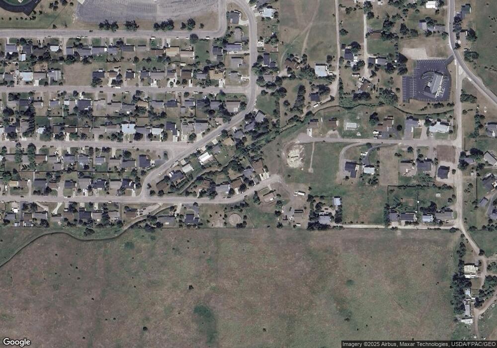
Map
Nearby Homes
- 105 Island View Dr
- 202 Island View Dr
- 1503 5th St E
- 1005 Main St
- 404 12th Ave E
- 304 11th Ave E
- 908 2nd St W Unit 6
- 908 2nd St W Unit 5
- 908 2nd St W Unit 7
- 1104 5th St E
- 998 Hillside Ct
- 603 12th Ave E
- 806 4th St W
- 604 10th Ave E Unit D
- 604 10th Ave E Unit B
- 604 10th Ave E Unit H
- 604 10th Ave E Unit G
- 604 10th Ave E Unit E
- 604 10th Ave E
- 604 10th Ave E Unit F
- 104 22nd Ave W
- 108 22nd Ave W
- 2009 Woodbine Way
- 2011 Woodbine Way
- 110 22nd Ave W
- 2007 Woodbine Way
- 2005 Woodbine Way
- 2101 Woodbine Way
- 101 22nd Ave W
- 202 22nd Ave W
- 99 22nd Ave W
- 2003 Woodbine Way
- 103 22nd Ave W
- 103 22nd Ave W
- Miriam Way
- 2103 Woodbine Way
- 2012 Woodbine Way
- Nkn Miriam Way
- 2004 Woodbine Way
- 2001 Woodbine Way
Your Personal Tour Guide
Ask me questions while you tour the home.