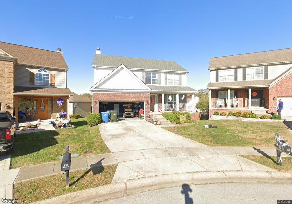
106 Belfair Ct Georgetown, KY 40324
Estimated Value: $329,792 - $402,000
4
Beds
3
Baths
1,939
Sq Ft
$187/Sq Ft
Est. Value
About This Home
This home is located at 106 Belfair Ct, Georgetown, KY 40324 and is currently estimated at $363,448, approximately $187 per square foot. 106 Belfair Ct is a home located in Scott County with nearby schools including Western Elementary School, Creekside Elementary School, and Royal Spring Middle School.
Ownership History
Date
Name
Owned For
Owner Type
Purchase Details
Closed on
Oct 26, 2007
Sold by
Bridwell Christopher M and Bridwell Suzanne
Bought by
Cecil Shane T and Cecil Tiffany J
Current Estimated Value
Home Financials for this Owner
Home Financials are based on the most recent Mortgage that was taken out on this home.
Original Mortgage
$153,425
Outstanding Balance
$96,521
Interest Rate
6.27%
Mortgage Type
New Conventional
Estimated Equity
$266,927
Create a Home Valuation Report for This Property
The Home Valuation Report is an in-depth analysis detailing your home's value as well as a comparison with similar homes in the area
Home Values in the Area
Average Home Value in this Area
Purchase History
| Date | Buyer | Sale Price | Title Company |
|---|---|---|---|
| Cecil Shane T | $180,500 | None Available |
Source: Public Records
Mortgage History
| Date | Status | Borrower | Loan Amount |
|---|---|---|---|
| Open | Cecil Shane T | $153,425 |
Source: Public Records
Tax History Compared to Growth
Tax History
| Year | Tax Paid | Tax Assessment Tax Assessment Total Assessment is a certain percentage of the fair market value that is determined by local assessors to be the total taxable value of land and additions on the property. | Land | Improvement |
|---|---|---|---|---|
| 2024 | $2,375 | $264,100 | $0 | $0 |
| 2023 | $2,288 | $252,300 | $42,000 | $210,300 |
| 2022 | $1,821 | $214,200 | $35,000 | $179,200 |
| 2021 | $1,881 | $199,700 | $35,000 | $164,700 |
| 2020 | $1,716 | $199,700 | $35,000 | $164,700 |
| 2019 | $1,582 | $181,200 | $0 | $0 |
| 2018 | $1,526 | $175,900 | $0 | $0 |
| 2017 | $1,484 | $170,130 | $0 | $0 |
| 2016 | $1,346 | $167,200 | $0 | $0 |
| 2015 | $1,338 | $167,200 | $0 | $0 |
| 2014 | $1,386 | $167,200 | $0 | $0 |
| 2011 | $111 | $178,500 | $0 | $0 |
Source: Public Records
Map
Nearby Homes
- 134 The Masters
- 119 Riddle Dr
- 442 General John Payne Blvd
- 209 Christal Dr
- 109 Sea Pines Way
- 111 Lloyd Rd
- 167 Delissa Dr
- 126 Autumn Leaf Path
- 109 Acorn Path
- 1267 Stamping Ground Rd
- 98 Delissa Dr
- 177 Swilcan Bridge Way
- 145 Inverness Dr
- 245 Sturbridge Dr
- 809 Pocahontas Trail
- 132 Copperfield Ln
- 115 Hutchins Dr
- 180 Hillside Dr
- 251 W Showalter Dr
- 104 Copper Kettle Path
- 104 Belfair Ct
- 108 Belfair Ct
- 105 Double Eagle Ct
- 102 Belfair Ct
- 103 Double Eagle Ct Unit 1B
- 107 Double Eagle Ct
- 107 Belfair Ct
- 107 Muirfield Place Unit 1B
- 100 Belfair Ct
- 101 Double Eagle Ct
- 105 Muirfield Place
- 108 Double Eagle Ct
- 103 Muirfield Place
- 103 Belfair Ct
- 106 Double Eagle Ct
- 112 Muirfield Place
- 119 The Masters
- 101 Belfair Ct
- 110 Muirfield Place