106 Brittany Cir Doylestown, PA 18901
Estimated Value: $949,177 - $1,102,000
4
Beds
3
Baths
3,572
Sq Ft
$289/Sq Ft
Est. Value
About This Home
This home is located at 106 Brittany Cir, Doylestown, PA 18901 and is currently estimated at $1,032,294, approximately $288 per square foot. 106 Brittany Cir is a home located in Bucks County with nearby schools including Kutz Elementary School, Lenape Middle School, and Central Bucks High School-West.
Ownership History
Date
Name
Owned For
Owner Type
Purchase Details
Closed on
Feb 13, 2004
Sold by
Atwell Eugene A and Atwell Joanne E P
Bought by
Atwell Eugene A
Current Estimated Value
Home Financials for this Owner
Home Financials are based on the most recent Mortgage that was taken out on this home.
Original Mortgage
$270,000
Outstanding Balance
$125,044
Interest Rate
5.65%
Mortgage Type
New Conventional
Estimated Equity
$907,250
Purchase Details
Closed on
Oct 19, 1992
Bought by
Atwell Eugene A and Atwell Joanne E
Create a Home Valuation Report for This Property
The Home Valuation Report is an in-depth analysis detailing your home's value as well as a comparison with similar homes in the area
Home Values in the Area
Average Home Value in this Area
Purchase History
| Date | Buyer | Sale Price | Title Company |
|---|---|---|---|
| Atwell Eugene A | -- | -- | |
| Atwell Eugene A | $290,000 | -- |
Source: Public Records
Mortgage History
| Date | Status | Borrower | Loan Amount |
|---|---|---|---|
| Open | Atwell Eugene A | $270,000 |
Source: Public Records
Tax History Compared to Growth
Tax History
| Year | Tax Paid | Tax Assessment Tax Assessment Total Assessment is a certain percentage of the fair market value that is determined by local assessors to be the total taxable value of land and additions on the property. | Land | Improvement |
|---|---|---|---|---|
| 2025 | $10,356 | $58,520 | $6,080 | $52,440 |
| 2024 | $10,356 | $58,520 | $6,080 | $52,440 |
| 2023 | $9,875 | $58,520 | $6,080 | $52,440 |
| 2022 | $9,765 | $58,520 | $6,080 | $52,440 |
| 2021 | $9,564 | $58,520 | $6,080 | $52,440 |
| 2020 | $9,520 | $58,520 | $6,080 | $52,440 |
| 2019 | $9,417 | $58,520 | $6,080 | $52,440 |
| 2018 | $9,388 | $58,520 | $6,080 | $52,440 |
| 2017 | $9,315 | $58,520 | $6,080 | $52,440 |
| 2016 | $9,256 | $58,520 | $6,080 | $52,440 |
| 2015 | -- | $58,520 | $6,080 | $52,440 |
| 2014 | -- | $58,520 | $6,080 | $52,440 |
Source: Public Records
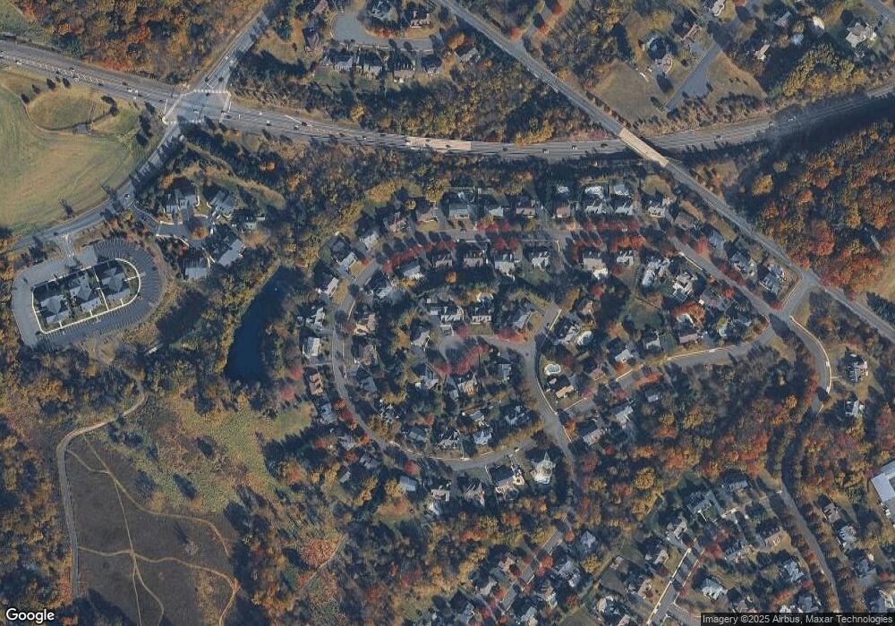
Map
Nearby Homes
- 137 Wells Rd
- 1101 Deerfield Ln
- 20 Woodstone Dr
- 250 Wooded Dr
- 84 Iron Hill Rd
- 82 Avalon Ct Unit 2005
- 114 Progress Dr
- 422 Fordhook Rd
- 450 Ford Hook Rd
- 9 Mill Creek Dr
- 432 Ford Hook Rd
- 197 Spring Ln
- 218 Vaux Dr
- 200 N Shady Retreat Rd
- 121 Conestoga Dr
- 60 Quarry Rd
- 47 Mill Creek Dr Unit 32
- 47 Mill Creek Dr
- 60 Cedar Dr
- 52 Tradesville Dr Unit 83
- 108 Brittany Cir
- 104 Brittany Cir
- 43 Radcliff Dr
- 45 Radcliff Dr
- 47 Radcliff Dr
- 39 Radcliff Dr
- 49 Radcliff Dr
- 103 Brittany Cir
- 105 Brittany Cir
- 37 Radcliff Dr
- 53 Radcliff Dr
- 204 Windsor Way
- 206 Windsor Way
- 55 Radcliff Dr
- 42 Radcliff Dr
- 40 Radcliff Dr
- 48 Radcliff Dr
- 44 Radcliff Dr
- 59 Radcliff Dr
- 35 Radcliff Dr