106 Cedarwood Dr Louisburg, NC 27549
Estimated Value: $406,000 - $456,000
3
Beds
2
Baths
1,732
Sq Ft
$249/Sq Ft
Est. Value
About This Home
This home is located at 106 Cedarwood Dr, Louisburg, NC 27549 and is currently estimated at $431,333, approximately $249 per square foot. 106 Cedarwood Dr is a home located in Franklin County with nearby schools including Royal Elementary School, Cedar Creek Middle, and Franklinton High School.
Ownership History
Date
Name
Owned For
Owner Type
Purchase Details
Closed on
Dec 19, 2005
Sold by
Whiting Robert K and Whiting Toni K
Bought by
Whiting Rental & Investments Llc
Current Estimated Value
Home Financials for this Owner
Home Financials are based on the most recent Mortgage that was taken out on this home.
Original Mortgage
$184,500
Outstanding Balance
$102,568
Interest Rate
6.28%
Mortgage Type
New Conventional
Estimated Equity
$328,765
Purchase Details
Closed on
Nov 22, 2005
Sold by
Wells Fargo Bank Na
Bought by
Whiting Robert K and Whiting Toni K
Home Financials for this Owner
Home Financials are based on the most recent Mortgage that was taken out on this home.
Original Mortgage
$184,500
Outstanding Balance
$102,568
Interest Rate
6.28%
Mortgage Type
New Conventional
Estimated Equity
$328,765
Purchase Details
Closed on
Mar 22, 2005
Sold by
Egitto Heidi A and Egitto Anthony L
Bought by
Wells Fargo Bank
Create a Home Valuation Report for This Property
The Home Valuation Report is an in-depth analysis detailing your home's value as well as a comparison with similar homes in the area
Home Values in the Area
Average Home Value in this Area
Purchase History
| Date | Buyer | Sale Price | Title Company |
|---|---|---|---|
| Whiting Rental & Investments Llc | -- | None Available | |
| Whiting Robert K | $246,000 | None Available | |
| Wells Fargo Bank | $251,500 | None Available |
Source: Public Records
Mortgage History
| Date | Status | Borrower | Loan Amount |
|---|---|---|---|
| Open | Whiting Rental & Investments Llc | $184,500 | |
| Closed | Whiting Robert K | $184,500 |
Source: Public Records
Tax History Compared to Growth
Tax History
| Year | Tax Paid | Tax Assessment Tax Assessment Total Assessment is a certain percentage of the fair market value that is determined by local assessors to be the total taxable value of land and additions on the property. | Land | Improvement |
|---|---|---|---|---|
| 2025 | $2,902 | $461,700 | $211,070 | $250,630 |
| 2024 | $2,848 | $461,700 | $211,070 | $250,630 |
| 2023 | $2,387 | $258,550 | $100,950 | $157,600 |
| 2022 | $2,377 | $258,550 | $100,950 | $157,600 |
| 2021 | $2,388 | $258,550 | $100,950 | $157,600 |
| 2020 | $2,402 | $258,550 | $100,950 | $157,600 |
| 2019 | $2,392 | $258,550 | $100,950 | $157,600 |
| 2018 | $2,375 | $258,550 | $100,950 | $157,600 |
| 2017 | $2,089 | $206,080 | $71,320 | $134,760 |
| 2016 | $2,161 | $206,080 | $71,320 | $134,760 |
| 2015 | $2,161 | $206,080 | $71,320 | $134,760 |
| 2014 | $2,028 | $206,080 | $71,320 | $134,760 |
Source: Public Records
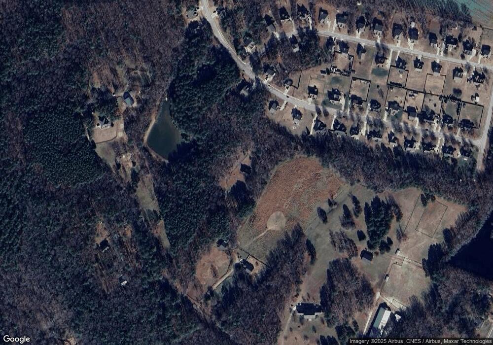
Map
Nearby Homes
- 100 Cedarwood Dr
- 3986 US 401 Hwy S
- 35 Courtland Dr
- 470 Flat Rock Church Rd
- 140 Bramble Ct
- 116 Thistle Dr
- 150 S Creek Dr
- 115 Parkers Gate Dr
- 136 Creek Dr
- 87 Beaver Ct
- 180 Normandy Rd
- 105 Teal Dr
- 43.76 Acre Huntsburg Dr
- 220 Kingfisher Way
- 225 Whistlers Cove
- 190 Whistlers Cove
- 53 Flat Rock Dr
- 255 Whistlers Cove
- 720 Timberlands Dr
- 30 Watermelon Dr
- 125 Live Oak Dr
- 125 Live Oak Dr Unit 23
- 115 Live Oak Dr Unit 24
- 115 Live Oak Dr
- 105 Live Oak Dr Unit 25
- 105 Live Oak Dr
- 85 Live Oak Dr
- 104 Cedarwood Dr
- 120 Live Oak Dr
- 180 Live Oak Dr
- 100 Live Oak Dr
- Lot 27 Live Oak Dr
- 180 Live Oak Dr Unit 16
- 100 Live Oak Dr Unit 44
- Lot 1 Live Oak Dr
- 110 Live Oak Dr
- 155 Live Oak Dr
- 90 Live Oak Dr
- 75 Live Oak Dr
- 80 Live Oak Dr