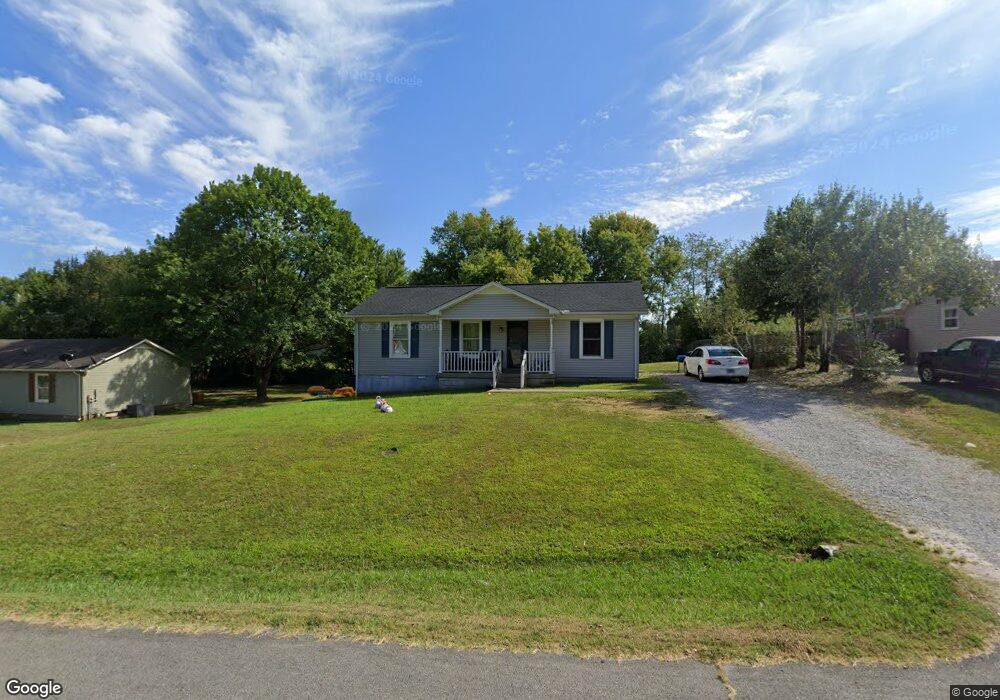
106 Cofer Dr Springfield, TN 37172
Estimated Value: $185,000 - $243,000
Studio
1
Bath
1,032
Sq Ft
$216/Sq Ft
Est. Value
About This Home
This home is located at 106 Cofer Dr, Springfield, TN 37172 and is currently estimated at $222,855, approximately $215 per square foot. 106 Cofer Dr is a home located in Robertson County with nearby schools including Westside Elementary School, Cheatham Park Elementary School, and Jo Byrns High School.
Ownership History
Date
Name
Owned For
Owner Type
Purchase Details
Closed on
Nov 27, 2024
Sold by
King Joe D and King Elizabeth B
Bought by
Acklen Property Group Llc
Current Estimated Value
Home Financials for this Owner
Home Financials are based on the most recent Mortgage that was taken out on this home.
Original Mortgage
$200,000
Outstanding Balance
$137,566
Interest Rate
6.44%
Mortgage Type
Seller Take Back
Estimated Equity
$85,289
Purchase Details
Closed on
Feb 24, 2000
Bought by
United States Of America/ Rural Development
Purchase Details
Closed on
Sep 13, 1988
Bought by
Washington Elizabeth
Create a Home Valuation Report for This Property
The Home Valuation Report is an in-depth analysis detailing your home's value as well as a comparison with similar homes in the area
Home Values in the Area
Average Home Value in this Area
Purchase History
| Date | Buyer | Sale Price | Title Company |
|---|---|---|---|
| Acklen Property Group Llc | $200,000 | Warranty Title | |
| Acklen Property Group Llc | $200,000 | Warranty Title | |
| United States Of America/ Rural Development | $46,100 | -- | |
| Washington Elizabeth | -- | -- |
Source: Public Records
Mortgage History
| Date | Status | Borrower | Loan Amount |
|---|---|---|---|
| Open | Acklen Property Group Llc | $200,000 | |
| Closed | Acklen Property Group Llc | $200,000 |
Source: Public Records
Tax History
| Year | Tax Paid | Tax Assessment Tax Assessment Total Assessment is a certain percentage of the fair market value that is determined by local assessors to be the total taxable value of land and additions on the property. | Land | Improvement |
|---|---|---|---|---|
| 2025 | -- | $51,450 | $22,500 | $28,950 |
| 2024 | -- | $51,450 | $22,500 | $28,950 |
| 2023 | $1,289 | $51,450 | $22,500 | $28,950 |
| 2022 | $989 | $27,100 | $4,825 | $22,275 |
| 2021 | $989 | $27,100 | $4,825 | $22,275 |
| 2020 | $989 | $27,100 | $4,825 | $22,275 |
| 2019 | $29,798 | $27,100 | $4,825 | $22,275 |
| 2018 | $989 | $27,100 | $4,825 | $22,275 |
| 2017 | $786 | $18,350 | $4,075 | $14,275 |
| 2016 | $786 | $18,350 | $4,075 | $14,275 |
| 2015 | $763 | $18,350 | $4,075 | $14,275 |
| 2014 | $763 | $18,350 | $4,075 | $14,275 |
Source: Public Records
Map
Nearby Homes
Your Personal Tour Guide
Ask me questions while you tour the home.