106 Crockett Dr Gainesville, TX 76240
Estimated Value: $832,000 - $1,164,999
3
Beds
4
Baths
4,325
Sq Ft
$220/Sq Ft
Est. Value
About This Home
This home is located at 106 Crockett Dr, Gainesville, TX 76240 and is currently estimated at $950,750, approximately $219 per square foot. 106 Crockett Dr is a home located in Cooke County with nearby schools including Callisburg Elementary School, Callisburg Middle School, and Callisburg High School.
Ownership History
Date
Name
Owned For
Owner Type
Purchase Details
Closed on
May 14, 2010
Sold by
Dlj Mortgage Capital Inc
Bought by
Davis Steven M and Davis Jimmie M
Current Estimated Value
Home Financials for this Owner
Home Financials are based on the most recent Mortgage that was taken out on this home.
Original Mortgage
$366,000
Outstanding Balance
$243,062
Interest Rate
5.02%
Mortgage Type
Future Advance Clause Open End Mortgage
Estimated Equity
$707,689
Create a Home Valuation Report for This Property
The Home Valuation Report is an in-depth analysis detailing your home's value as well as a comparison with similar homes in the area
Home Values in the Area
Average Home Value in this Area
Purchase History
| Date | Buyer | Sale Price | Title Company |
|---|---|---|---|
| Davis Steven M | -- | -- |
Source: Public Records
Mortgage History
| Date | Status | Borrower | Loan Amount |
|---|---|---|---|
| Open | Davis Steven M | $366,000 |
Source: Public Records
Tax History Compared to Growth
Tax History
| Year | Tax Paid | Tax Assessment Tax Assessment Total Assessment is a certain percentage of the fair market value that is determined by local assessors to be the total taxable value of land and additions on the property. | Land | Improvement |
|---|---|---|---|---|
| 2025 | $4,304 | $907,800 | $168,870 | $808,708 |
| 2024 | $4,304 | $1,009,292 | $168,870 | $840,422 |
| 2023 | $9,578 | $750,248 | $136,475 | $811,207 |
| 2022 | $10,117 | $856,442 | $125,614 | $730,828 |
| 2021 | $11,339 | $638,537 | $84,884 | $553,653 |
| 2020 | $10,985 | $563,673 | $77,824 | $485,849 |
| 2019 | $10,198 | $552,683 | $77,824 | $474,859 |
| 2018 | $9,322 | $483,989 | $77,824 | $406,165 |
| 2017 | $8,553 | $432,603 | $45,412 | $387,191 |
| 2015 | $6,235 | $373,953 | $35,637 | $338,316 |
| 2014 | $6,235 | $370,361 | $35,637 | $334,724 |
Source: Public Records
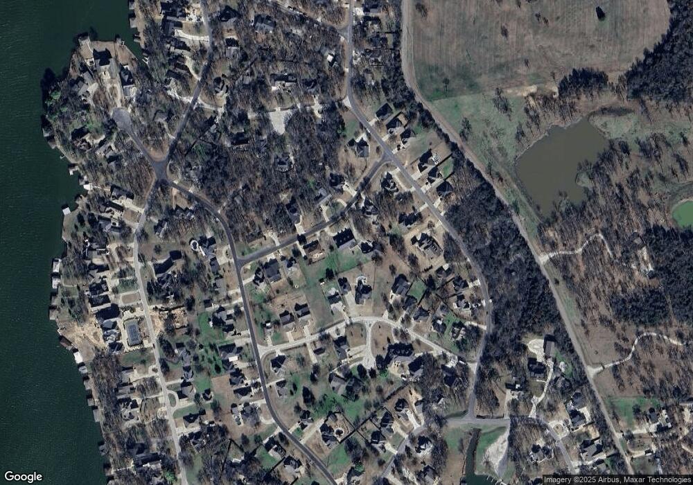
Map
Nearby Homes
- 122 Comanche Dr
- 111 Bowie Dr
- 103 Bowie Dr
- 1107 Kiowa Dr E
- 102 Bowie Cove
- 1125 Kiowa Dr E
- 329 Comanche Dr
- 1214 Kiowa Dr E
- 116 Seminole Dr
- 114 Seminole Dr
- 105 Seminole Dr
- 1229 Kiowa Dr E
- 110 Seminole Cove
- 912 Kiowa Dr W
- 117 Modoc Trail
- 102 Huron Trail
- 100 Huron Trail
- 104 Pontiac Dr
- 736 Kiowa Dr W
- 116 Modoc Trail