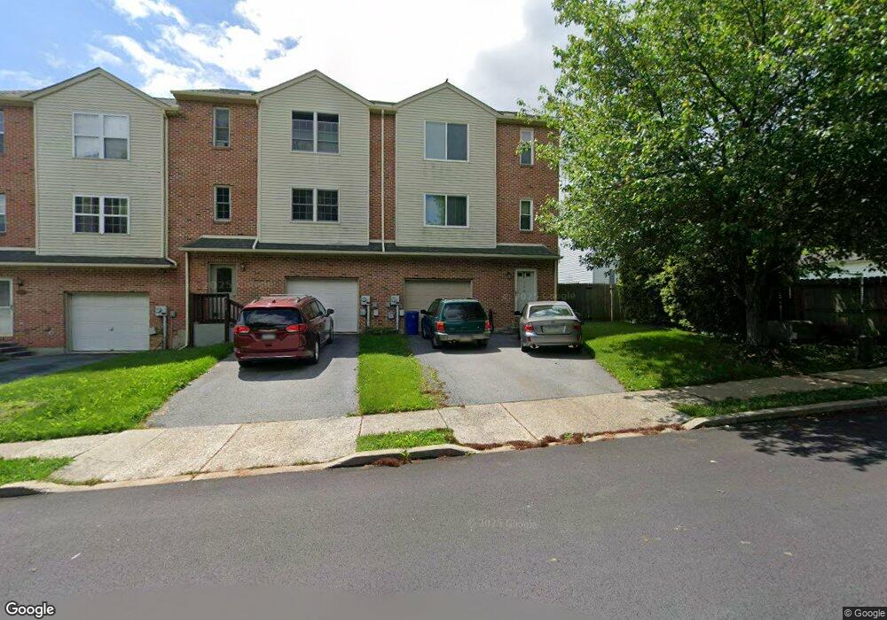
106 E Second St Alburtis Borough, PA 18011
Estimated Value: $341,000 - $373,882
3
Beds
3
Baths
1,936
Sq Ft
$185/Sq Ft
Est. Value
About This Home
This home is located at 106 E Second St, Alburtis Borough, PA 18011 and is currently estimated at $357,721, approximately $184 per square foot. 106 E Second St is a home located in Lehigh County with nearby schools including Alburtis Elementary School, Lower Macungie Middle School, and Emmaus High School.
Ownership History
Date
Name
Owned For
Owner Type
Purchase Details
Closed on
Jun 1, 2018
Sold by
Niessner Justin and Niessner Jennofer
Bought by
Pelizzoni Michael and Pelizzoni Christina
Current Estimated Value
Home Financials for this Owner
Home Financials are based on the most recent Mortgage that was taken out on this home.
Original Mortgage
$198,158
Outstanding Balance
$169,185
Interest Rate
4.5%
Mortgage Type
FHA
Estimated Equity
$188,536
Purchase Details
Closed on
Aug 15, 2008
Sold by
Sheatler David W
Bought by
Niessner Justin A
Home Financials for this Owner
Home Financials are based on the most recent Mortgage that was taken out on this home.
Original Mortgage
$194,017
Interest Rate
6.4%
Mortgage Type
FHA
Purchase Details
Closed on
Apr 1, 1992
Bought by
Alburtis Development Corp
Create a Home Valuation Report for This Property
The Home Valuation Report is an in-depth analysis detailing your home's value as well as a comparison with similar homes in the area
Home Values in the Area
Average Home Value in this Area
Purchase History
| Date | Buyer | Sale Price | Title Company |
|---|---|---|---|
| Pelizzoni Michael | $205,000 | None Available | |
| Niessner Justin A | $195,575 | -- | |
| Alburtis Development Corp | $100,000 | -- |
Source: Public Records
Mortgage History
| Date | Status | Borrower | Loan Amount |
|---|---|---|---|
| Open | Pelizzoni Michael | $198,158 | |
| Previous Owner | Niessner Justin A | $194,017 |
Source: Public Records
Tax History
| Year | Tax Paid | Tax Assessment Tax Assessment Total Assessment is a certain percentage of the fair market value that is determined by local assessors to be the total taxable value of land and additions on the property. | Land | Improvement |
|---|---|---|---|---|
| 2026 | $5,040 | $166,900 | $14,700 | $152,200 |
| 2025 | $4,900 | $166,900 | $14,700 | $152,200 |
| 2024 | $4,775 | $166,900 | $14,700 | $152,200 |
| 2023 | $4,554 | $166,900 | $14,700 | $152,200 |
| 2022 | $4,458 | $166,900 | $152,200 | $14,700 |
| 2021 | $4,375 | $166,900 | $14,700 | $152,200 |
| 2020 | $4,338 | $166,900 | $14,700 | $152,200 |
| 2019 | $4,315 | $166,900 | $14,700 | $152,200 |
| 2018 | $4,265 | $166,900 | $14,700 | $152,200 |
| 2017 | $4,200 | $166,900 | $14,700 | $152,200 |
| 2016 | -- | $166,900 | $14,700 | $152,200 |
| 2015 | -- | $166,900 | $14,700 | $152,200 |
| 2014 | -- | $166,900 | $14,700 | $152,200 |
Source: Public Records
Map
Nearby Homes
- 195 Maple Ct
- 442 Franklin St
- 22 Front St
- 428 Thomas St
- 112 Front St
- 122 Front St
- 7707 Racite Rd
- 226 Front St
- 7719 Barrow Dr
- 317 W 2nd St
- 52 W 5th St
- 314 Ridgeview Dr
- 7524 Scenic View Dr
- 3797 Chestnut Rd
- 8297 Mertztown Rd
- 1863 Aster Rd
- 0 Clauss Hunt Knight Dr Unit 10 Units
- 8014 Heritage Dr
- 2301 Goldenrod Dr
- 3889 Fire Brick Rd
Your Personal Tour Guide
Ask me questions while you tour the home.