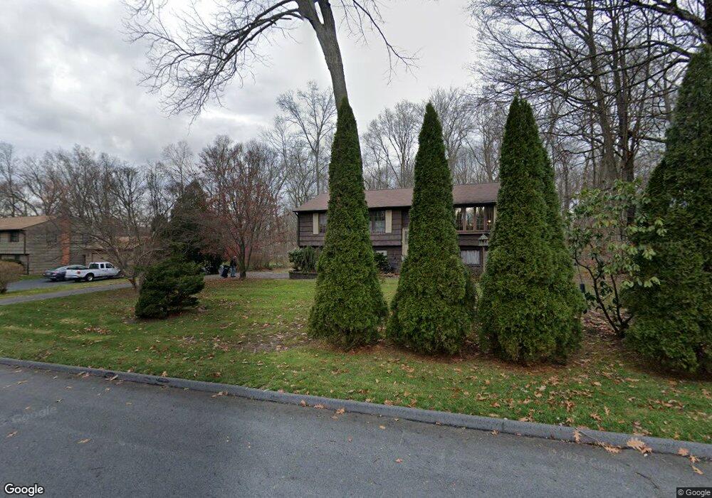
106 Forge Rd Coventry, CT 06238
Estimated Value: $327,000 - $400,000
3
Beds
2
Baths
1,192
Sq Ft
$308/Sq Ft
Est. Value
About This Home
This home is located at 106 Forge Rd, Coventry, CT 06238 and is currently estimated at $367,656, approximately $308 per square foot. 106 Forge Rd is a home located in Tolland County with nearby schools including Coventry Grammar School, George Hersey Robertson School, and Capt. Nathan Hale School.
Ownership History
Date
Name
Owned For
Owner Type
Purchase Details
Closed on
Sep 7, 2007
Sold by
Corbett Edward G and Corbett Geraldine P
Bought by
Payne Susan
Current Estimated Value
Home Financials for this Owner
Home Financials are based on the most recent Mortgage that was taken out on this home.
Original Mortgage
$206,400
Interest Rate
6.74%
Create a Home Valuation Report for This Property
The Home Valuation Report is an in-depth analysis detailing your home's value as well as a comparison with similar homes in the area
Home Values in the Area
Average Home Value in this Area
Purchase History
| Date | Buyer | Sale Price | Title Company |
|---|---|---|---|
| Payne Susan | $258,000 | -- | |
| Payne Susan | $258,000 | -- |
Source: Public Records
Mortgage History
| Date | Status | Borrower | Loan Amount |
|---|---|---|---|
| Open | Payne Susan | $199,506 | |
| Closed | Payne Susan | $206,400 | |
| Previous Owner | Payne Susan | $193,600 |
Source: Public Records
Tax History
| Year | Tax Paid | Tax Assessment Tax Assessment Total Assessment is a certain percentage of the fair market value that is determined by local assessors to be the total taxable value of land and additions on the property. | Land | Improvement |
|---|---|---|---|---|
| 2025 | $5,201 | $218,900 | $54,000 | $164,900 |
| 2024 | $4,437 | $133,200 | $44,700 | $88,500 |
| 2023 | $4,228 | $133,200 | $44,700 | $88,500 |
| 2022 | $4,149 | $133,200 | $44,700 | $88,500 |
| 2021 | $4,149 | $133,200 | $44,700 | $88,500 |
| 2020 | $4,152 | $133,200 | $44,700 | $88,500 |
| 2019 | $4,289 | $133,200 | $44,700 | $88,500 |
| 2018 | $4,083 | $126,800 | $44,700 | $82,100 |
| 2017 | $4,058 | $126,800 | $44,700 | $82,100 |
| 2016 | $3,956 | $126,800 | $44,700 | $82,100 |
| 2015 | $3,956 | $126,800 | $44,700 | $82,100 |
| 2014 | $4,077 | $143,200 | $54,400 | $88,800 |
Source: Public Records
Map
Nearby Homes
- 0 Boston Turnpike Unit 24128587
- 279 Mark Dr
- 37 Wolf Hill Rd Unit Lot 40
- 37 Wolf Hill Lot (#40) Rd
- 395 Grant Hill (Mill Race Drive) Lot #21 Rd
- 395 Grant Hill Rd Unit Lot21
- 5 Laurelwood Ln Unit lot 16
- 456 Grant Hill Rd
- 687 Hop River Rd
- 939 Boston Turnpike
- 7 Laurelwood Ln Unit Lot 15
- 12 Laurelwood Ln Unit lot 8
- 8 Times Farm Rd
- 0 Skinner Hill Rd Unit 24077239
- 720 Bolton Rd
- 34 Hanover Farms Rd
- 1 Notch Rd
- 864 Boston Turnpike
- 17 Wall St
- 93 Dockerel Rd
- 120 Forge Rd
- 188 Northfield Rd
- 162 Northfield Rd
- 59 Oakwood Dr
- 107 Forge Rd
- 138 Forge Rd
- 125 Forge Rd
- 89 Forge Rd
- 141 Forge Rd
- 33 Oakwood Dr
- 200 Fieldstone Ln
- 195 Northfield Rd
- 142 Northfield Rd
- 171 Northfield Rd
- 71 Forge Rd
- 166 Forge Rd
- 186 Fieldstone Ln
- 80 Ash Brook Dr
- 62 Ash Brook Dr
- 147 Northfield Rd
Your Personal Tour Guide
Ask me questions while you tour the home.