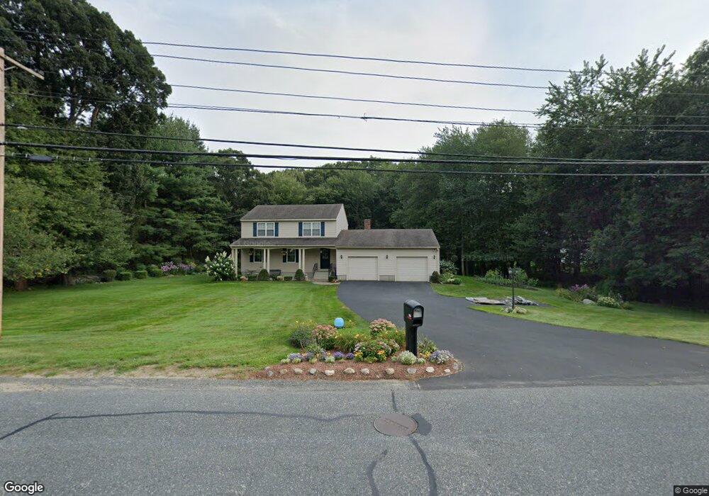
106 Grafton St Millbury, MA 01527
Estimated Value: $508,000 - $579,000
4
Beds
2
Baths
1,712
Sq Ft
$314/Sq Ft
Est. Value
About This Home
This home is located at 106 Grafton St, Millbury, MA 01527 and is currently estimated at $537,123, approximately $313 per square foot. 106 Grafton St is a home located in Worcester County with nearby schools including Elmwood Street Elementary School, Raymond E. Shaw Elementary School, and Millbury Junior/Senior High School.
Ownership History
Date
Name
Owned For
Owner Type
Purchase Details
Closed on
Jul 1, 2020
Sold by
Curini Pietro L and Child Bess M
Bought by
Emmott Jay
Current Estimated Value
Home Financials for this Owner
Home Financials are based on the most recent Mortgage that was taken out on this home.
Original Mortgage
$313,500
Outstanding Balance
$277,894
Interest Rate
3.2%
Mortgage Type
New Conventional
Estimated Equity
$259,229
Create a Home Valuation Report for This Property
The Home Valuation Report is an in-depth analysis detailing your home's value as well as a comparison with similar homes in the area
Home Values in the Area
Average Home Value in this Area
Purchase History
| Date | Buyer | Sale Price | Title Company |
|---|---|---|---|
| Emmott Jay | $330,000 | None Available | |
| Emmott Jay | $330,000 | None Available |
Source: Public Records
Mortgage History
| Date | Status | Borrower | Loan Amount |
|---|---|---|---|
| Open | Emmott Jay | $313,500 | |
| Closed | Emmott Jay | $313,500 |
Source: Public Records
Tax History Compared to Growth
Tax History
| Year | Tax Paid | Tax Assessment Tax Assessment Total Assessment is a certain percentage of the fair market value that is determined by local assessors to be the total taxable value of land and additions on the property. | Land | Improvement |
|---|---|---|---|---|
| 2025 | $5,913 | $441,600 | $118,300 | $323,300 |
| 2024 | $5,202 | $393,200 | $109,500 | $283,700 |
| 2023 | $4,790 | $331,500 | $76,600 | $254,900 |
| 2022 | $4,793 | $319,500 | $76,600 | $242,900 |
| 2021 | $4,570 | $296,200 | $76,600 | $219,600 |
| 2020 | $4,475 | $291,900 | $76,600 | $215,300 |
| 2019 | $4,470 | $282,000 | $69,700 | $212,300 |
| 2018 | $4,150 | $254,000 | $69,700 | $184,300 |
| 2017 | $4,091 | $249,000 | $69,700 | $179,300 |
| 2016 | $3,822 | $232,200 | $69,700 | $162,500 |
| 2015 | $3,720 | $226,000 | $74,200 | $151,800 |
| 2014 | $3,529 | $206,400 | $74,200 | $132,200 |
Source: Public Records
Map
Nearby Homes
- Lot 1 Cooper Rd
- 8 Autumn Gate Cir
- 20 Woodridge Rd
- 15 Rayburn Dr
- 123 Riverlin St
- 81 Ariel Cir
- 19 Cortland Way
- 73 Potter Hill Rd
- 16 Jackie Dr
- 64 Millbury Ave
- 8 Danielle Dr
- 17 Atwood Ave
- 75 Potter Hill Rd
- 18 Barbara Jean St
- 2 Jessica j Dr
- 66 Buttonwood Ave
- 156 Brigham Hill Rd
- 5 Mogren Dr
- 4 Jessica j Dr
- 81 Millbury St
- 106 Grafton St Unit B
- 106 Grafton St Unit B
- 106 Grafton St Unit A
- 112 Grafton St
- 104 Grafton St
- 108 Grafton St
- 106-A&B Grafton St
- 0 Autumn Gate Cir Unit 70852545
- 1 Pheasant Hill Rd
- 113 Grafton St
- 1 Autumn Gate Cir
- 105 Grafton St
- Lot 1 Autumn Gate
- 116 Grafton St
- 1 Autumn Gate Cir
- 100 Grafton St Unit B
- 2 Pheasant Hill Rd
- Lot 3 Autumn Gate
- 2 Autumn Gate Cir
- 3 Autumn Gate Cir