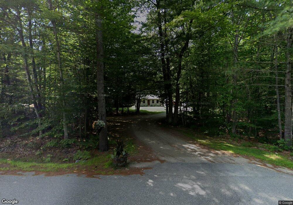
106 Hiram Philbrook Rd Center Conway, NH 03813
Estimated Value: $395,081 - $463,000
3
Beds
2
Baths
1,344
Sq Ft
$321/Sq Ft
Est. Value
About This Home
This home is located at 106 Hiram Philbrook Rd, Center Conway, NH 03813 and is currently estimated at $431,020, approximately $320 per square foot. 106 Hiram Philbrook Rd is a home located in Carroll County with nearby schools including A. Crosby Kennett Middle School, Kennett High School, and Cady Memorial School.
Ownership History
Date
Name
Owned For
Owner Type
Purchase Details
Closed on
May 25, 2012
Sold by
Mask Sean T and Mask Amy L
Bought by
Cleveland William S
Current Estimated Value
Purchase Details
Closed on
Jan 17, 2008
Sold by
Sanders John and Costello Christina
Bought by
Mask Sean T and Dupuis Amy L
Home Financials for this Owner
Home Financials are based on the most recent Mortgage that was taken out on this home.
Original Mortgage
$192,000
Interest Rate
6.02%
Mortgage Type
Purchase Money Mortgage
Purchase Details
Closed on
Dec 22, 2005
Sold by
Yacovelli Michael J and Yacovelli Pamela M
Bought by
Costello Christina
Home Financials for this Owner
Home Financials are based on the most recent Mortgage that was taken out on this home.
Original Mortgage
$166,250
Interest Rate
6.36%
Mortgage Type
Purchase Money Mortgage
Create a Home Valuation Report for This Property
The Home Valuation Report is an in-depth analysis detailing your home's value as well as a comparison with similar homes in the area
Home Values in the Area
Average Home Value in this Area
Purchase History
| Date | Buyer | Sale Price | Title Company |
|---|---|---|---|
| Cleveland William S | $175,000 | -- | |
| Cleveland William S | $175,000 | -- | |
| Mask Sean T | $192,000 | -- | |
| Mask Sean T | $192,000 | -- | |
| Costello Christina | $175,000 | -- | |
| Costello Christina | $175,000 | -- |
Source: Public Records
Mortgage History
| Date | Status | Borrower | Loan Amount |
|---|---|---|---|
| Previous Owner | Costello Christina | $192,000 | |
| Previous Owner | Costello Christina | $166,250 |
Source: Public Records
Tax History Compared to Growth
Tax History
| Year | Tax Paid | Tax Assessment Tax Assessment Total Assessment is a certain percentage of the fair market value that is determined by local assessors to be the total taxable value of land and additions on the property. | Land | Improvement |
|---|---|---|---|---|
| 2024 | $4,136 | $344,700 | $95,000 | $249,700 |
| 2023 | $3,719 | $344,700 | $95,000 | $249,700 |
| 2022 | $3,422 | $187,600 | $70,600 | $117,000 |
| 2021 | $3,065 | $187,600 | $70,600 | $117,000 |
| 2020 | $3,262 | $187,600 | $70,600 | $117,000 |
| 2019 | $3,249 | $187,600 | $70,600 | $117,000 |
| 2018 | $3,492 | $166,900 | $70,900 | $96,000 |
| 2017 | $3,335 | $166,900 | $70,900 | $96,000 |
| 2016 | $3,223 | $166,900 | $70,900 | $96,000 |
| 2015 | $3,186 | $166,900 | $70,900 | $96,000 |
| 2014 | $3,148 | $166,900 | $70,900 | $96,000 |
| 2013 | $3,024 | $169,300 | $70,900 | $98,400 |
Source: Public Records
Map
Nearby Homes
- 361 Davis Hill Rd
- 289 Davis Hill Rd
- 293 Pemigewasset Dr
- 33 Sands Cir
- 48 Sands Cir Unit 48D
- 25 Singer Ln
- 106 Pemigewasset Dr
- 574 Old Mill Rd
- 827 Davis Hill Rd
- 1049 E Main St
- 00 Brownfield Rd Unit 11
- 00 Davis Hill Rd Unit 97
- 63 Mill St
- 42 Harmony Ln Unit 5
- 43 Wildwood Way
- 24 Loon Mountain Ln
- 14 Goldfinch Ln
- 169 Mountainvale Dr
- 158 Fox Hill Ln
- 1139 E Conway Rd
- 130 Hiram Philbrook Rd
- 92 Hiram Philbrook Rd
- 343 Davis Hill Rd
- 343 Davis Hill Rd
- 325 Davis Hill Rd
- 315 Davis Hill Rd
- 142 Hiram Philbrook Rd
- 129 Hiram Philbrook Rd
- 105 Hiram Philbrook Rd
- 89 Hiram Philbrook Rd
- 29 Hiram Philbrook Rd
- 164 Hiram Philbrook Rd
- 58 Hiram Philbrook Rd
- 71 Hiram Philbrook Rd
- 161 Hiram Philbrook Rd
- 275 Davis Hill Rd
- 401 Davis Hill Rd
- 365 Davis Hill Rd
- 401 Davis Hill Rd
- 389 Davis Hill Rd