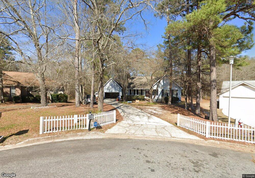
106 Lori Ct Warner Robins, GA 31093
Estimated Value: $222,000 - $256,155
3
Beds
2
Baths
1,705
Sq Ft
$137/Sq Ft
Est. Value
About This Home
This home is located at 106 Lori Ct, Warner Robins, GA 31093 and is currently estimated at $234,289, approximately $137 per square foot. 106 Lori Ct is a home located in Houston County with nearby schools including Northside Elementary School, Northside Middle School, and Northside High School.
Ownership History
Date
Name
Owned For
Owner Type
Purchase Details
Closed on
Mar 18, 2020
Sold by
Crocker Mitchell and Crocker Clayton G
Bought by
Crews Jessica Leah and Crews Darren Lee
Current Estimated Value
Home Financials for this Owner
Home Financials are based on the most recent Mortgage that was taken out on this home.
Original Mortgage
$135,401
Outstanding Balance
$118,374
Interest Rate
3.4%
Mortgage Type
FHA
Estimated Equity
$115,915
Purchase Details
Closed on
Dec 1, 2015
Sold by
Blair Dianne
Bought by
Richardson Mitchell E
Home Financials for this Owner
Home Financials are based on the most recent Mortgage that was taken out on this home.
Original Mortgage
$106,638
Interest Rate
3.91%
Mortgage Type
FHA
Purchase Details
Closed on
Jun 20, 2006
Sold by
Vann Mark
Bought by
Blair Dianne
Home Financials for this Owner
Home Financials are based on the most recent Mortgage that was taken out on this home.
Original Mortgage
$108,900
Interest Rate
9.5%
Mortgage Type
Adjustable Rate Mortgage/ARM
Purchase Details
Closed on
Aug 29, 2003
Sold by
Spearman Bonnie
Bought by
Vann Mark
Purchase Details
Closed on
Dec 6, 2002
Sold by
Secretary Of Hs & Urban Dev
Bought by
Spearman Bonnie
Purchase Details
Closed on
Mar 5, 2002
Sold by
Mortgage Electronic Registrati
Bought by
Secretary Of Hs & Urban Dev
Purchase Details
Closed on
Mar 16, 1989
Bought by
Easterling Vincent M
Create a Home Valuation Report for This Property
The Home Valuation Report is an in-depth analysis detailing your home's value as well as a comparison with similar homes in the area
Home Values in the Area
Average Home Value in this Area
Purchase History
| Date | Buyer | Sale Price | Title Company |
|---|---|---|---|
| Crews Jessica Leah | $137,900 | None Listed On Document | |
| Richardson Mitchell E | $108,606 | -- | |
| Blair Dianne | $121,000 | None Available | |
| Vann Mark | $130,000 | -- | |
| Spearman Bonnie | $72,500 | -- | |
| Secretary Of Hs & Urban Dev | -- | -- | |
| Mortgage Electronic Registration | $91,700 | -- | |
| Easterling Vincent M | $76,500 | -- |
Source: Public Records
Mortgage History
| Date | Status | Borrower | Loan Amount |
|---|---|---|---|
| Open | Crews Jessica Leah | $135,401 | |
| Previous Owner | Richardson Mitchell E | $106,638 | |
| Previous Owner | Blair Dianne | $108,900 | |
| Previous Owner | Blair Dianne | $6,402 |
Source: Public Records
Tax History
| Year | Tax Paid | Tax Assessment Tax Assessment Total Assessment is a certain percentage of the fair market value that is determined by local assessors to be the total taxable value of land and additions on the property. | Land | Improvement |
|---|---|---|---|---|
| 2025 | $2,319 | $79,640 | $10,000 | $69,640 |
| 2024 | $2,618 | $80,000 | $10,000 | $70,000 |
| 2023 | $2,121 | $64,320 | $10,000 | $54,320 |
| 2022 | $1,294 | $56,280 | $5,400 | $50,880 |
| 2021 | $1,233 | $53,320 | $5,400 | $47,920 |
| 2020 | $1,067 | $45,920 | $5,400 | $40,520 |
| 2019 | $958 | $41,240 | $5,400 | $35,840 |
| 2018 | $958 | $41,240 | $5,400 | $35,840 |
| 2017 | $959 | $41,240 | $5,400 | $35,840 |
| 2016 | $960 | $41,240 | $5,400 | $35,840 |
| 2015 | -- | $41,240 | $5,400 | $35,840 |
| 2014 | $412 | $41,240 | $5,400 | $35,840 |
| 2013 | $412 | $41,240 | $5,400 | $35,840 |
Source: Public Records
Map
Nearby Homes
- 105 Mitchell Ct
- 107 Onyx Ct
- 110 Mitchell Ct
- 94 Tiffany Ln
- 501 Dunbar Rd
- 317 Emory Dr
- 414 Forest Lake Dr
- 319 Air View Dr Unit 14
- 305 Norman Ln
- 110 Eastlake Dr
- 208 Pellimore Dr
- 106 Northspring Ct
- 201 Inglewood Dr
- 111 Briarwood Dr
- 302 Kensington Cir
- 113 Northwind Ct
- 118 Avalon Dr
- 0 N Houston Rd Unit Northlake Dr.
- 156 Martin Mill Trail
- 145 Kensington Cir
- 105 Lori Ct
- 104 Lori Ct
- 115 Lori Ct
- 103 Lori Ct
- 102 Lori Ct
- 101 Lori Ct
- 305 Wake Forest Dr
- 301 Wake Forest Dr
- 307 Wake Forest Dr
- 304 Wake Forest Dr
- 302 Wake Forest Dr
- 306 Wake Forest Dr
- 309 Wake Forest Dr
- 308 Wake Forest Dr
- 300 Wake Forest Dr
- 313 Wake Forest Dr
- 217 Wake Forest Dr
- 218 Wake Forest Dr
- 310 Wake Forest Dr
- 110 Haag Dr
Your Personal Tour Guide
Ask me questions while you tour the home.