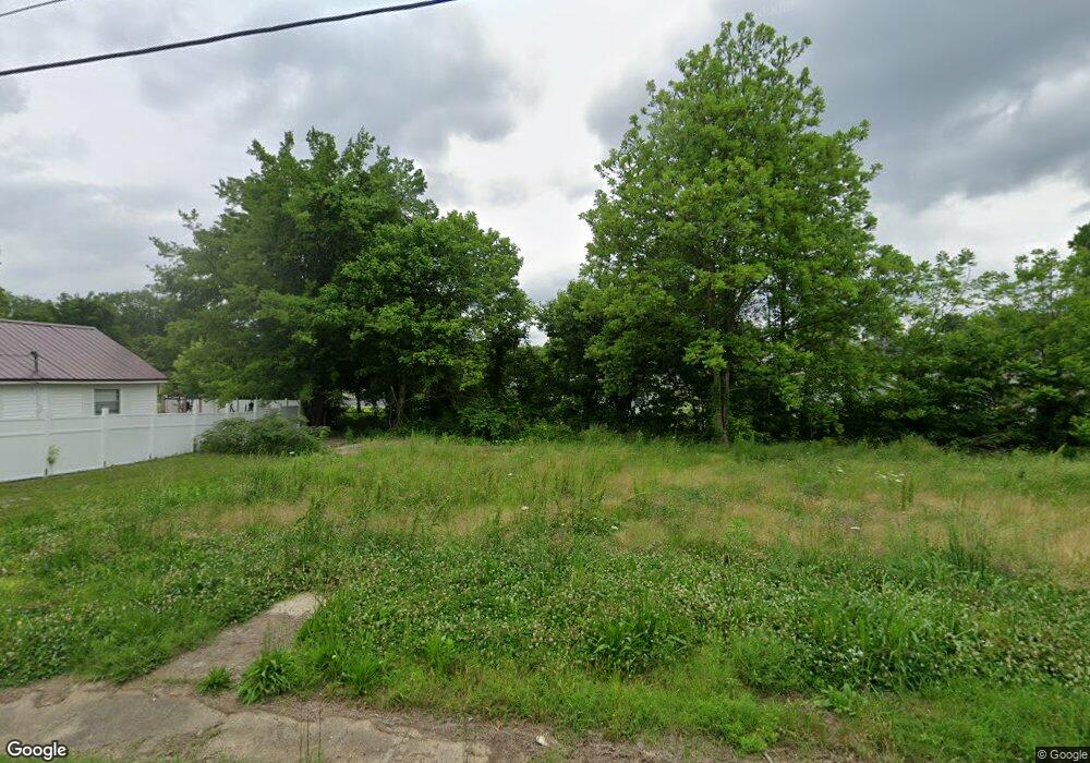
106 Mcfall St South Fulton, TN 38257
Estimated Value: $117,000
--
Bed
2
Baths
1,416
Sq Ft
$83/Sq Ft
Est. Value
About This Home
This home is located at 106 Mcfall St, South Fulton, TN 38257 and is currently estimated at $117,000, approximately $82 per square foot. 106 Mcfall St is a home located in Obion County.
Ownership History
Date
Name
Owned For
Owner Type
Purchase Details
Closed on
Jul 16, 2025
Sold by
Obion County
Bought by
City Of South Fulton
Current Estimated Value
Purchase Details
Closed on
Apr 18, 2025
Sold by
Obion County
Bought by
Obion County
Purchase Details
Closed on
Mar 27, 2024
Sold by
Obion County and City Of Union City
Bought by
Antlia Properties Llc and Armstrong
Purchase Details
Closed on
Jan 1, 1949
Bought by
Stunson Clarence and Stunson Claudia
Purchase Details
Closed on
Jun 23, 1948
Bought by
Stunson Clarence and Stunson Claudia
Create a Home Valuation Report for This Property
The Home Valuation Report is an in-depth analysis detailing your home's value as well as a comparison with similar homes in the area
Home Values in the Area
Average Home Value in this Area
Purchase History
| Date | Buyer | Sale Price | Title Company |
|---|---|---|---|
| City Of South Fulton | -- | None Listed On Document | |
| City Of South Fulton | -- | None Listed On Document | |
| Obion County | $6,761 | None Listed On Document | |
| Obion County | $6,761 | None Listed On Document | |
| Antlia Properties Llc | $28,297 | None Listed On Document | |
| Stunson Clarence | -- | -- | |
| Stunson Clarence | -- | -- |
Source: Public Records
Tax History Compared to Growth
Tax History
| Year | Tax Paid | Tax Assessment Tax Assessment Total Assessment is a certain percentage of the fair market value that is determined by local assessors to be the total taxable value of land and additions on the property. | Land | Improvement |
|---|---|---|---|---|
| 2024 | -- | $750 | $750 | $0 |
| 2023 | $556 | $22,125 | $750 | $21,375 |
| 2022 | $244 | $12,825 | $500 | $12,325 |
| 2021 | $239 | $12,825 | $500 | $12,325 |
| 2020 | $244 | $12,825 | $500 | $12,325 |
| 2019 | $459 | $12,825 | $500 | $12,325 |
| 2018 | $459 | $12,825 | $500 | $12,325 |
| 2017 | $442 | $11,775 | $500 | $11,275 |
| 2016 | $442 | $11,775 | $500 | $11,275 |
| 2015 | $442 | $11,775 | $500 | $11,275 |
| 2014 | $442 | $11,775 | $500 | $11,275 |
Source: Public Records
Map
Nearby Homes
- 0 State Route 129
- 803 Walnut St
- 806 Maiden St
- 304 Eddings St
- 101 Meadowview Dr
- 104 Park Ave Unit F
- 204 Park St
- 219 4th St Unit F
- 310 2nd St Unit F
- 505 Park Ave Unit F
- 413 Honey Locust Dr
- 507 Vancil St
- 508 Vancil St
- 109 West St
- 608 Green St
- 709 Tennessee St
- 811 Key St
- 1015 W 4th St
- 1000 W 4th St
- 1008 W 4th St
- 108 Mcfall St Unit 110
- 605 E State Line St
- 103 Roach St
- 603 E State Line St
- 112A Mcfall St
- 107 Mcfall St
- 105 Mcfall St
- 710 E State Line St
- 109 Mcfall St
- 109 Roach St Unit 111
- 112 Mcfall St
- 111 Mcfall St
- 712 E State Line St
- 703 E State Line St
- 104 Craig St
- 106 Craig St
- 705 E State Line St
- 112 Craig St
- 115 Mcfall St
- 116 Mcfall St