106 N Broadbay Rd Freedom, NH 03836
Estimated Value: $1,095,167 - $1,418,000
3
Beds
2
Baths
2,016
Sq Ft
$632/Sq Ft
Est. Value
About This Home
This home is located at 106 N Broadbay Rd, Freedom, NH 03836 and is currently estimated at $1,274,292, approximately $632 per square foot. 106 N Broadbay Rd is a home located in Carroll County with nearby schools including Freedom Elementary School.
Ownership History
Date
Name
Owned For
Owner Type
Purchase Details
Closed on
Nov 2, 2015
Sold by
Linda Salafia Werner T and Salafia-Werner Linda
Bought by
Simonsen Xavier and Craig Kathleen A
Current Estimated Value
Home Financials for this Owner
Home Financials are based on the most recent Mortgage that was taken out on this home.
Original Mortgage
$417,000
Outstanding Balance
$329,432
Interest Rate
3.92%
Estimated Equity
$944,860
Purchase Details
Closed on
Nov 27, 2006
Sold by
Yukevich Gerald P
Bought by
Linda Salafia Werner T
Home Financials for this Owner
Home Financials are based on the most recent Mortgage that was taken out on this home.
Original Mortgage
$316,000
Interest Rate
6.39%
Mortgage Type
Purchase Money Mortgage
Create a Home Valuation Report for This Property
The Home Valuation Report is an in-depth analysis detailing your home's value as well as a comparison with similar homes in the area
Home Values in the Area
Average Home Value in this Area
Purchase History
| Date | Buyer | Sale Price | Title Company |
|---|---|---|---|
| Simonsen Xavier | $580,000 | -- | |
| Linda Salafia Werner T | $675,000 | -- |
Source: Public Records
Mortgage History
| Date | Status | Borrower | Loan Amount |
|---|---|---|---|
| Open | Simonsen Xavier | $417,000 | |
| Previous Owner | Linda Salafia Werner T | $316,000 |
Source: Public Records
Tax History Compared to Growth
Tax History
| Year | Tax Paid | Tax Assessment Tax Assessment Total Assessment is a certain percentage of the fair market value that is determined by local assessors to be the total taxable value of land and additions on the property. | Land | Improvement |
|---|---|---|---|---|
| 2024 | $8,545 | $1,190,100 | $799,000 | $391,100 |
| 2023 | $7,114 | $647,900 | $374,600 | $273,300 |
| 2022 | $6,628 | $647,900 | $374,600 | $273,300 |
| 2021 | $7,030 | $647,900 | $374,600 | $273,300 |
| 2020 | $6,913 | $647,900 | $374,600 | $273,300 |
| 2019 | $6,468 | $477,000 | $280,800 | $196,200 |
| 2018 | $6,168 | $477,000 | $280,800 | $196,200 |
| 2016 | $6,010 | $477,000 | $280,800 | $196,200 |
| 2015 | $6,268 | $518,000 | $322,700 | $195,300 |
| 2014 | $6,320 | $518,000 | $322,700 | $195,300 |
| 2013 | $6,402 | $518,000 | $322,700 | $195,300 |
Source: Public Records
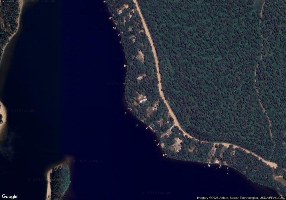
Map
Nearby Homes
- 112 N Broadbay Rd
- 5-11 Friedman Ln
- Lot 8 Friedman Ln
- 5 Friedman Ln
- 61 E Danforth Rd
- 16 Channel Rd
- 126 Leavitt Rd
- 40 Independence Dr
- 9 Abenaki Dr
- 121 E Danforth Rd
- 4 Lower Broad Bay Rd
- 10 Spur Rd
- 50 Milford Ave
- 4 Tomahawk Ln Unit 447
- 555 Huckins Rd
- 6 Laurel Rd
- Lot 12 Friedman Ln
- 33 Blueberry Rd
- 227 Eaton Rd
- 107 Pequawket Trail
- 102 N Broadbay Rd
- 114 N Broadbay Rd
- 116 N Broadbay Rd
- 92 N Broadbay Rd
- 118 N Broadbay Rd
- 88 N Broadbay Rd
- 122 N Broadbay Rd
- 130 N Broadbay Rd
- 78 N Broadbay Rd
- 132 N Broadbay Rd
- 138 N Broadbay Rd
- 64 N Broadbay Rd
- 58 N Broadbay Rd
- 56 N Broadbay Rd
- 46 N Broadbay Rd
- 41 N Broadbay Rd
- 2 Ossipee Lake Rd
- 15 Ossipee Lake Rd
- Lot 25 Ossipee Lake
- 38 N Broadbay Rd