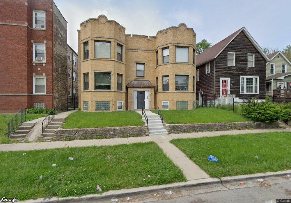
106 N Lotus Ave Chicago, IL 60644
Austin NeighborhoodEstimated Value: $103,000 - $125,000
3
Beds
1
Bath
1,232
Sq Ft
$93/Sq Ft
Est. Value
About This Home
This home is located at 106 N Lotus Ave, Chicago, IL 60644 and is currently estimated at $115,145, approximately $93 per square foot. 106 N Lotus Ave is a home located in Cook County with nearby schools including Ellington Elementary School, Catalyst Charter-Circle Rock Elementary School, and KIPP Academy Chicago Campus.
Ownership History
Date
Name
Owned For
Owner Type
Purchase Details
Closed on
Jan 3, 2020
Sold by
Anderson Lightfoot Robbie
Bought by
City Fo Chicago A Muncipal Corporation
Current Estimated Value
Purchase Details
Closed on
May 10, 2002
Sold by
Anderson Lightfoot Robbie and Lightfoot Robbie
Bought by
Anderson Lightfoot Robbie and Bright Barbara
Home Financials for this Owner
Home Financials are based on the most recent Mortgage that was taken out on this home.
Original Mortgage
$53,600
Interest Rate
7.16%
Create a Home Valuation Report for This Property
The Home Valuation Report is an in-depth analysis detailing your home's value as well as a comparison with similar homes in the area
Home Values in the Area
Average Home Value in this Area
Purchase History
| Date | Buyer | Sale Price | Title Company |
|---|---|---|---|
| City Fo Chicago A Muncipal Corporation | -- | None Available | |
| Anderson Lightfoot Robbie | -- | -- |
Source: Public Records
Mortgage History
| Date | Status | Borrower | Loan Amount |
|---|---|---|---|
| Previous Owner | Anderson Lightfoot Robbie | $53,600 |
Source: Public Records
Tax History Compared to Growth
Tax History
| Year | Tax Paid | Tax Assessment Tax Assessment Total Assessment is a certain percentage of the fair market value that is determined by local assessors to be the total taxable value of land and additions on the property. | Land | Improvement |
|---|---|---|---|---|
| 2024 | $1,371 | $10,000 | $1,267 | $8,733 |
| 2023 | $1,337 | $6,500 | $1,003 | $5,497 |
| 2022 | $1,337 | $6,500 | $1,003 | $5,497 |
| 2021 | $1,307 | $6,499 | $1,003 | $5,496 |
| 2020 | $1,321 | $5,931 | $897 | $5,034 |
| 2019 | $1,324 | $6,590 | $897 | $5,693 |
| 2018 | $1,302 | $6,590 | $897 | $5,693 |
| 2017 | $1,500 | $6,968 | $792 | $6,176 |
| 2016 | $1,396 | $6,968 | $792 | $6,176 |
| 2015 | $1,277 | $6,968 | $792 | $6,176 |
| 2014 | $1,151 | $6,206 | $739 | $5,467 |
| 2013 | $1,129 | $6,206 | $739 | $5,467 |
Source: Public Records
Map
Nearby Homes
- 38 N Long Ave
- 17 N Lotus Ave
- 220 N Lorel Ave
- 206 N Lockwood Ave
- 233 N Lorel Ave
- 163 N Lockwood Ave
- 306 N Lockwood Ave
- 657 N Pine Ave
- 28 N Latrobe Ave
- 4855 W Jackson Blvd
- 1100 S Menard St
- 144 N Laramie Ave
- 5338 W Kinzie St
- 4607 W Madison St
- 19 S Waller Ave
- 5153 W Washington Blvd
- 227-229 N Menard Ave
- 43 N Menard Ave
- 5460 W Ferdinand St
- 206 N Leamington Ave
- 106 N Lotus Ave
- 100 N Lotus Ave
- 100 N Lotus Ave
- 100 N Lotus Ave
- 100 N Lotus Ave
- 100 N Lotus Ave Unit D
- 100 N Lotus Ave
- 100 N Lotus Ave Unit A
- 100 N Lotus Ave Unit E
- 108 N Lotus Ave Unit A
- 108 N Lotus Ave
- 108 N Lotus Ave
- 108 N Lotus Ave
- 108 N Lotus Ave
- 108 N Lotus Ave
- 108 N Lotus Ave
- 108 N Lotus Ave Unit D
- 108 N Lotus St Unit D
- 112 N Lotus Ave Unit F
- 112 N Lotus Ave