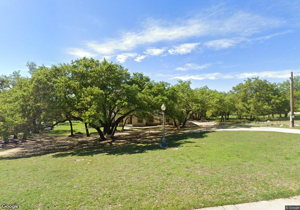
106 Roberts Cir Georgetown, TX 78633
Fountainwood NeighborhoodEstimated Value: $940,000 - $1,107,000
5
Beds
4
Baths
4,019
Sq Ft
$254/Sq Ft
Est. Value
About This Home
This home is located at 106 Roberts Cir, Georgetown, TX 78633 and is currently estimated at $1,020,519, approximately $253 per square foot. 106 Roberts Cir is a home located in Williamson County with nearby schools including Jo Ann Ford Elementary School, Douglas Benold Middle School, and Georgetown High School.
Ownership History
Date
Name
Owned For
Owner Type
Purchase Details
Closed on
Jul 12, 2006
Sold by
Graf Kevin G and Graf Sherri Ross
Bought by
Dawson William A and Dawson Deborah G
Current Estimated Value
Home Financials for this Owner
Home Financials are based on the most recent Mortgage that was taken out on this home.
Original Mortgage
$298,900
Outstanding Balance
$177,156
Interest Rate
6.62%
Mortgage Type
Purchase Money Mortgage
Estimated Equity
$843,363
Create a Home Valuation Report for This Property
The Home Valuation Report is an in-depth analysis detailing your home's value as well as a comparison with similar homes in the area
Home Values in the Area
Average Home Value in this Area
Purchase History
| Date | Buyer | Sale Price | Title Company |
|---|---|---|---|
| Dawson William A | -- | Longhorn Title Co Inc |
Source: Public Records
Mortgage History
| Date | Status | Borrower | Loan Amount |
|---|---|---|---|
| Open | Dawson William A | $298,900 |
Source: Public Records
Tax History Compared to Growth
Tax History
| Year | Tax Paid | Tax Assessment Tax Assessment Total Assessment is a certain percentage of the fair market value that is determined by local assessors to be the total taxable value of land and additions on the property. | Land | Improvement |
|---|---|---|---|---|
| 2025 | $7,250 | $880,670 | -- | -- |
| 2024 | $7,250 | $800,609 | -- | -- |
| 2023 | $6,905 | $727,826 | $0 | $0 |
| 2022 | $11,136 | $661,660 | $0 | $0 |
| 2021 | $11,223 | $601,509 | $133,836 | $541,025 |
| 2020 | $10,377 | $546,826 | $103,890 | $442,936 |
| 2019 | $11,276 | $572,949 | $86,271 | $486,678 |
| 2018 | $9,974 | $539,372 | $86,271 | $453,101 |
| 2017 | $11,063 | $558,861 | $86,271 | $472,590 |
| 2016 | $10,274 | $519,020 | $77,300 | $441,720 |
| 2015 | $9,571 | $519,464 | $77,300 | $442,164 |
| 2014 | $9,571 | $494,161 | $0 | $0 |
Source: Public Records
Map
Nearby Homes
- 111 Roberts Cir
- 127 Roberts Cir
- 122 Silverstone
- 110 Starlight Trail
- 524 Highland Spring Ln
- 209 Goldridge Dr
- 4004 Fountainwood Cir
- 307 Highland Spring Ln
- 405 Allen Cir
- 305 Shady Tree Dr
- 410 Shady Tree Dr
- 419 Allen Cir
- 100 Portafino Ln
- 210 Buoy Cir
- 6626 Jim Hogg Dr
- 200 Harbor Cir
- 2204 Tobiano Trace
- 105 Plainsman Ln
- 204 Woodland Park
- 128 San Juan
- 108 Roberts Cir
- 110 Roberts Cir
- 210 Bobbys Cove
- 102 Roberts Cir
- 209 Bobbys Cove
- 109 Roberts Cir
- 107 Roberts Cir
- 105 Roberts Cir
- 103 Roberts Cir
- 112 Roberts Cir
- 208 Bobbys Cove
- 103 Diamond Trail
- 114 Roberts Cir
- 113 Roberts Cir
- 101 Diamond Trail
- 105 Diamond Trail
- 207 Bobbys Cove
- 116 Roberts Cir
- 206 Bobbys Cove
- 115 Roberts Cir