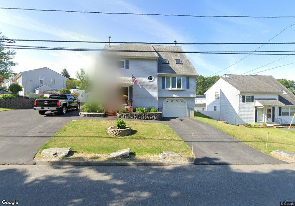
106 Sunderland Rd Worcester, MA 01604
Broadmeadow Brook NeighborhoodEstimated Value: $496,000 - $527,000
About This Home
This home is located at 106 Sunderland Rd, Worcester, MA 01604 and is currently estimated at $505,664, approximately $268 per square foot. 106 Sunderland Rd is a home located in Worcester County with nearby schools including Jacob Hiatt Magnet School, Chandler Magnet, and Rice Square Elementary School.
Ownership History
We collect this data history from publicly available records. To have your information removed, we recommend requesting removal directly through your county’s website.
Purchase Details
Home Values in the Area
Average Home Value in this Area
Purchase History
We collect this data history from publicly available records. To have your information removed, we recommend requesting removal directly through your county’s website.
| Date | Buyer | Sale Price | Title Company |
|---|---|---|---|
| -- | -- |
Tax History
We collect this data history from publicly available records. To have your information removed, we recommend requesting removal directly through your county’s website.
| Year | Tax Paid | Tax Assessment Tax Assessment Total Assessment is a certain percentage of the fair market value that is determined by local assessors to be the total taxable value of land and additions on the property. | Land | Improvement |
|---|---|---|---|---|
| 2025 | $5,813 | $440,700 | $118,300 | $322,400 |
| 2024 | $5,691 | $413,900 | $118,300 | $295,600 |
| 2023 | $5,484 | $382,400 | $102,900 | $279,500 |
| 2022 | $5,258 | $345,700 | $82,300 | $263,400 |
| 2021 | $5,226 | $321,000 | $65,800 | $255,200 |
| 2020 | $5,307 | $312,200 | $65,900 | $246,300 |
| 2019 | $4,747 | $263,700 | $59,300 | $204,400 |
| 2018 | $4,839 | $255,900 | $59,300 | $196,600 |
| 2017 | $4,613 | $240,000 | $59,300 | $180,700 |
| 2016 | $4,577 | $222,100 | $43,300 | $178,800 |
| 2015 | $4,458 | $222,100 | $43,300 | $178,800 |
| 2014 | $4,340 | $222,100 | $43,300 | $178,800 |
Map
- 76 Valmor St
- 18 Baldwin St
- 5 Phoenix St
- 15 Primrose St
- 20 Lamar Ave
- 201 Dana Ave
- 12 Lamar Ave
- 34 Marjorie St
- 259 Massasoit Rd
- 1 Brightwood Ave
- 143 Dorcester
- 133 Puritan Ave
- 42 Ernest Ave
- 14 Orton St
- 48 Vincent Cir
- 28 Modoc St
- 135 Cohasset St
- 31 Blithewood Ave Unit 701
- 31 Blithewood Ave Unit 1201
- 129 Derby St
- 1 Wasilla Dr
- 3 Wasilla Dr
- 23 Wasilla Dr
- 104 Sunderland Rd
- 4 Wasilla Dr
- 21 Wasilla Dr
- 2 Wasilla Dr
- 5 Wasilla Dr
- 6 Wasilla Dr
- 102 Sunderland Rd
- 19 Wasilla Dr
- 8 Wasilla Dr
- 100 Sunderland Rd
- 108 Sunderland Rd
- 7 Wasilla Dr
- 125 Sunderland Rd
- 119 Sunderland Rd
- 35 Benson St
- 115 Sunderland Rd
- 98 Sunderland Rd
Ask me questions while you tour the home.