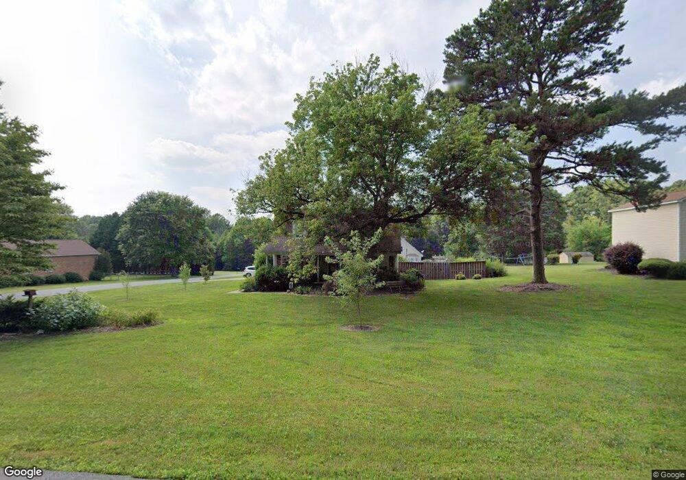
106 Whetstine Rd Kings Mountain, NC 28086
Estimated Value: $278,000 - $382,000
3
Beds
2
Baths
1,607
Sq Ft
$205/Sq Ft
Est. Value
About This Home
This home is located at 106 Whetstine Rd, Kings Mountain, NC 28086 and is currently estimated at $329,404, approximately $204 per square foot. 106 Whetstine Rd is a home located in Cleveland County with nearby schools including Bethware Elementary School, Kings Mountain Intermediate School, and Kings Mountain Middle.
Ownership History
Date
Name
Owned For
Owner Type
Purchase Details
Closed on
Mar 31, 2016
Sold by
Stinnett Tiffany R
Bought by
Horn James and Cobb Beverly
Current Estimated Value
Home Financials for this Owner
Home Financials are based on the most recent Mortgage that was taken out on this home.
Original Mortgage
$150,000
Outstanding Balance
$121,345
Interest Rate
4.25%
Mortgage Type
Adjustable Rate Mortgage/ARM
Estimated Equity
$208,059
Create a Home Valuation Report for This Property
The Home Valuation Report is an in-depth analysis detailing your home's value as well as a comparison with similar homes in the area
Home Values in the Area
Average Home Value in this Area
Purchase History
| Date | Buyer | Sale Price | Title Company |
|---|---|---|---|
| Horn James | $150,000 | None Available |
Source: Public Records
Mortgage History
| Date | Status | Borrower | Loan Amount |
|---|---|---|---|
| Open | Horn James | $150,000 |
Source: Public Records
Tax History Compared to Growth
Tax History
| Year | Tax Paid | Tax Assessment Tax Assessment Total Assessment is a certain percentage of the fair market value that is determined by local assessors to be the total taxable value of land and additions on the property. | Land | Improvement |
|---|---|---|---|---|
| 2025 | $1,601 | $252,081 | $23,760 | $228,321 |
| 2024 | $1,504 | $179,064 | $17,424 | $161,640 |
| 2023 | $1,496 | $179,064 | $17,424 | $161,640 |
| 2022 | $1,496 | $179,064 | $17,424 | $161,640 |
| 2021 | $1,502 | $179,064 | $17,424 | $161,640 |
| 2020 | $1,192 | $135,184 | $14,137 | $121,047 |
| 2019 | $1,166 | $131,992 | $14,137 | $117,855 |
| 2018 | $1,162 | $131,992 | $14,137 | $117,855 |
| 2017 | $1,156 | $131,992 | $14,137 | $117,855 |
| 2016 | $1,105 | $131,992 | $14,137 | $117,855 |
| 2015 | $1,042 | $124,082 | $11,880 | $112,202 |
| 2014 | $1,042 | $124,082 | $11,880 | $112,202 |
Source: Public Records
Map
Nearby Homes
- 600 Ginger Dr
- 605 Ginger Dr
- 5139 E Dixon Blvd
- 236 Hoyles Rd
- 107 Stony Point Rd
- 2207 David Baptist Ch Rd
- 103 Stony Point Rd
- 2166 Vestibule Church Rd
- 5067 E Dixon Blvd
- 1238 Oak Grove Rd
- 2167 Vestibule Church Rd Unit 5U, 16U
- 839 Oak Grove Rd
- 507 Bethlehem Rd
- 100 Tripp Dr
- 153 Harbourtown Dr
- 111 High Ridge Ct
- 105 High Ridge Ct
- 132 Yarbro Rd Unit 13
- 132 Yarbro Rd Unit 17
- 117 Dutchess Dr
- 104 Whetstine Rd
- 108 Whetstine Rd
- 102 Biggerstaff Ct
- 110 Whetstine Rd
- 104 Biggerstaff Ct
- 102 Whetstine Rd
- 103 Biggerstaff Ct
- 403 Stoney Point Rd
- 112 Whetstine Rd Unit 1
- 114 Whetstine Rd
- 102 Jamestown Ct
- 104 Jamestown Ct
- 116 Whetstine Rd
- 406 Stoney Point Rd
- 408 Stoney Point Rd
- 341 Stony Point Rd
- 335 Stony Point Rd
- 0 Stoney Point Rd Unit 939715
- 414 Stoney Point Rd
- 118 Whetstine Rd