Estimated Value: $52,706 - $254,000
1
Bed
1
Bath
732
Sq Ft
$173/Sq Ft
Est. Value
About This Home
This home is located at 1060 242nd St, Kent, IA 50851 and is currently estimated at $126,427, approximately $172 per square foot. 1060 242nd St is a home located in Union County with nearby schools including Creston Early Childhood Center, Creston Elementary School, and Creston Middle School.
Ownership History
Date
Name
Owned For
Owner Type
Purchase Details
Closed on
Sep 24, 2019
Sold by
Fry Terry
Bought by
Graham Lori
Current Estimated Value
Purchase Details
Closed on
Feb 29, 2012
Sold by
Co Nationstar Mortgage Llc
Bought by
Gv Federal National Mortgage Assn
Purchase Details
Closed on
Oct 25, 2007
Sold by
Hayes Andrew B
Bought by
Benedict Kathy J and Benedict Roger D
Home Financials for this Owner
Home Financials are based on the most recent Mortgage that was taken out on this home.
Original Mortgage
$34,450
Interest Rate
6.38%
Mortgage Type
New Conventional
Create a Home Valuation Report for This Property
The Home Valuation Report is an in-depth analysis detailing your home's value as well as a comparison with similar homes in the area
Home Values in the Area
Average Home Value in this Area
Purchase History
| Date | Buyer | Sale Price | Title Company |
|---|---|---|---|
| Graham Lori | $500 | -- | |
| Gv Federal National Mortgage Assn | -- | None Available | |
| Benedict Kathy J | $34,500 | None Available |
Source: Public Records
Mortgage History
| Date | Status | Borrower | Loan Amount |
|---|---|---|---|
| Previous Owner | Benedict Kathy J | $34,450 |
Source: Public Records
Tax History Compared to Growth
Tax History
| Year | Tax Paid | Tax Assessment Tax Assessment Total Assessment is a certain percentage of the fair market value that is determined by local assessors to be the total taxable value of land and additions on the property. | Land | Improvement |
|---|---|---|---|---|
| 2025 | $222 | $15,190 | $1,350 | $13,840 |
| 2024 | $222 | $16,260 | $1,350 | $14,910 |
| 2023 | $492 | $17,010 | $2,720 | $14,290 |
| 2022 | $486 | $26,120 | $2,720 | $23,400 |
| 2021 | $486 | $24,410 | $2,540 | $21,870 |
| 2020 | $436 | $31,010 | $1,330 | $29,680 |
| 2019 | $591 | $31,010 | $0 | $0 |
| 2018 | $422 | $31,010 | $0 | $0 |
| 2017 | $436 | $31,010 | $0 | $0 |
| 2016 | $296 | $31,010 | $0 | $0 |
| 2015 | $296 | $28,450 | $0 | $0 |
| 2014 | $386 | $28,450 | $0 | $0 |
Source: Public Records
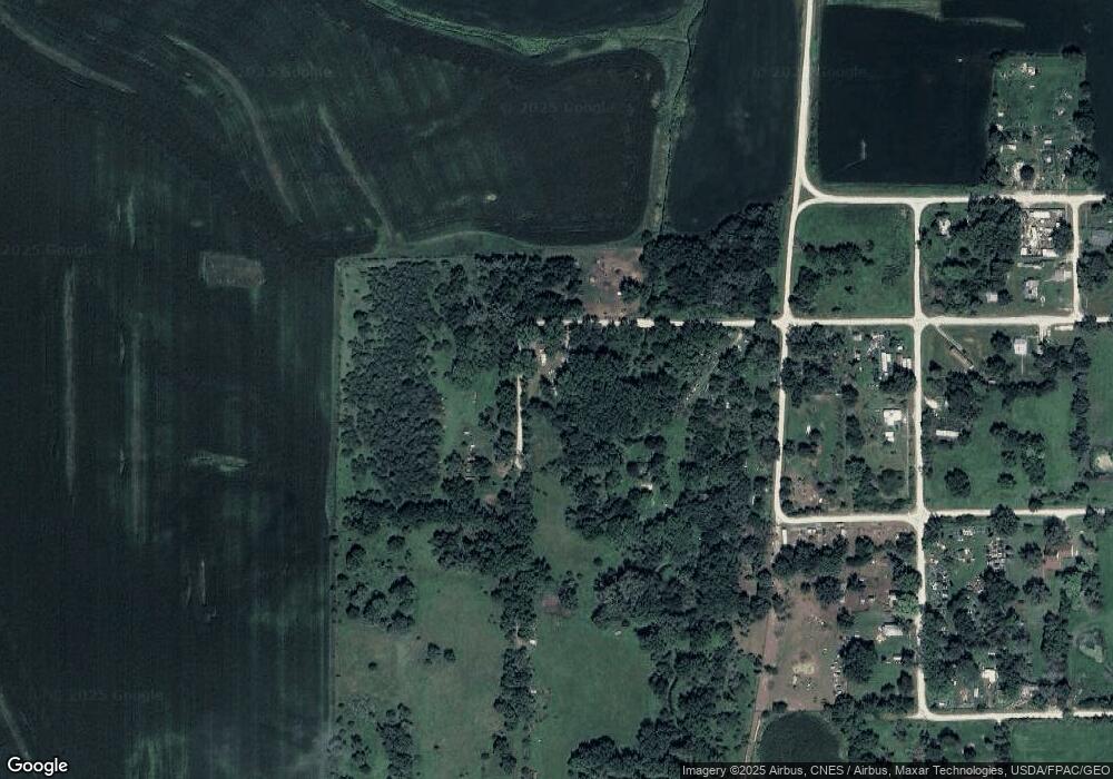
Map
Nearby Homes
- 1990 Clover Ave
- 0000 Tulip Ave
- 2809 265th St
- 2905 200th St
- 309 N Pine St
- 202 W Ohio St
- 106 S Main St
- 208 W Temple St
- 411 W Michigan St
- 109 W Iowa St
- 942 Sherman Ave Unit 11
- 702 W Ohio St
- 707 W Ohio St
- 629 New York Ave
- 410 S Maple St
- 608 S Walnut St
- 846 Quiet Harbor
- 829 Quiet Harbor Unit 11
- 830 Quiet Harbor
- 826 Quiet Harbor Unit 36