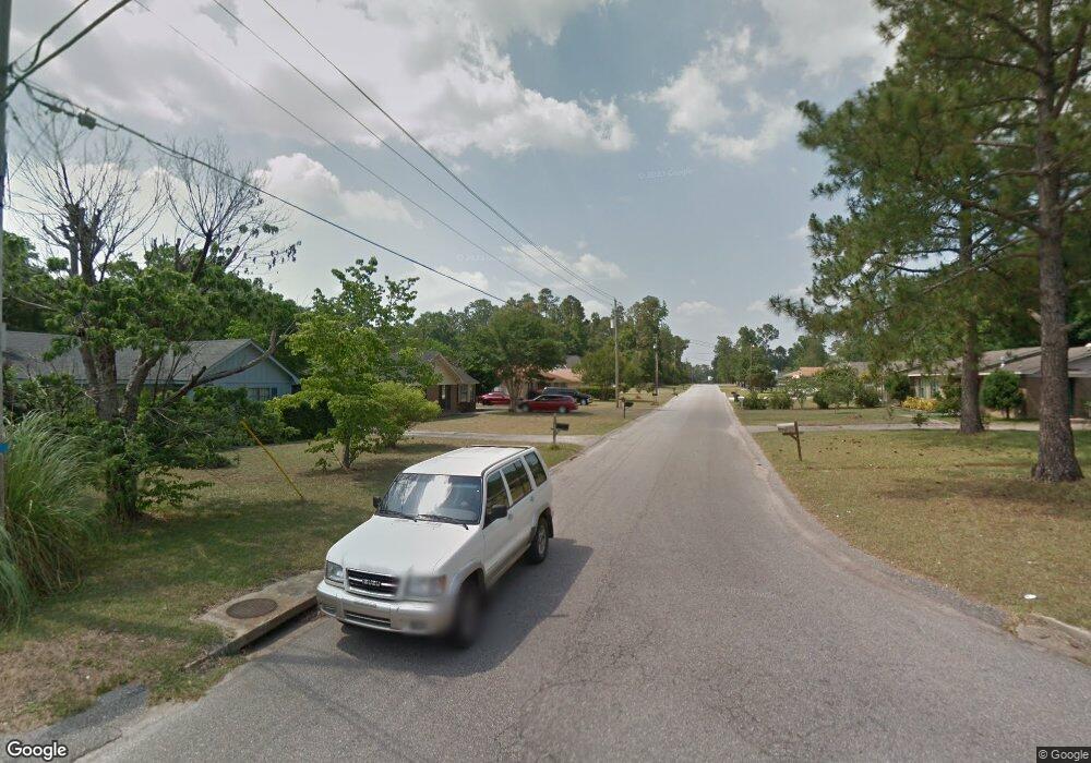
1060 Abilene Dr W Mobile, AL 36695
Baker NeighborhoodEstimated Value: $186,683 - $206,000
3
Beds
2
Baths
1,350
Sq Ft
$147/Sq Ft
Est. Value
About This Home
This home is located at 1060 Abilene Dr W, Mobile, AL 36695 and is currently estimated at $197,921, approximately $146 per square foot. 1060 Abilene Dr W is a home located in Mobile County with nearby schools including Elsie Collier Elementary School, Bernice J Causey Middle School, and Baker High School.
Ownership History
Date
Name
Owned For
Owner Type
Purchase Details
Closed on
Feb 7, 2022
Sold by
Tiffany Pogue
Bought by
Pogue Roderick
Current Estimated Value
Purchase Details
Closed on
Jul 23, 2004
Sold by
Carrell Dow and Carrell Lek S
Bought by
Harry Todd Charles and Harry Tracy Melinda
Home Financials for this Owner
Home Financials are based on the most recent Mortgage that was taken out on this home.
Original Mortgage
$61,000
Interest Rate
6.24%
Mortgage Type
Unknown
Create a Home Valuation Report for This Property
The Home Valuation Report is an in-depth analysis detailing your home's value as well as a comparison with similar homes in the area
Home Values in the Area
Average Home Value in this Area
Purchase History
| Date | Buyer | Sale Price | Title Company |
|---|---|---|---|
| Pogue Roderick | -- | Boone Law Pc | |
| Harry Todd Charles | $83,000 | -- |
Source: Public Records
Mortgage History
| Date | Status | Borrower | Loan Amount |
|---|---|---|---|
| Previous Owner | Harry Todd Charles | $61,000 |
Source: Public Records
Tax History Compared to Growth
Tax History
| Year | Tax Paid | Tax Assessment Tax Assessment Total Assessment is a certain percentage of the fair market value that is determined by local assessors to be the total taxable value of land and additions on the property. | Land | Improvement |
|---|---|---|---|---|
| 2024 | $763 | $15,680 | $3,000 | $12,680 |
| 2023 | $763 | $13,330 | $3,300 | $10,030 |
| 2022 | $491 | $11,490 | $3,000 | $8,490 |
| 2021 | $499 | $11,670 | $2,400 | $9,270 |
| 2020 | $499 | $11,670 | $2,400 | $9,270 |
| 2019 | $495 | $11,560 | $3,390 | $8,170 |
| 2018 | $452 | $10,700 | $0 | $0 |
| 2017 | $505 | $10,360 | $0 | $0 |
| 2016 | $465 | $10,960 | $0 | $0 |
| 2013 | -- | $9,500 | $0 | $0 |
Source: Public Records
Map
Nearby Homes
- 9410 Ashwood Ct
- 1081 Hillside Ct
- 960 Abilene Dr W
- 9540 Oak Forrest Dr
- 1261 Comstock Ct
- 9556 Bridgeton Ct
- 1120 Colonial Hills Dr
- 1170 Colonial Hills Dr
- 9475 Ironwood Ct
- 9510 Gaslight Ct
- 791 Copperfield Dr W
- 1345 Camden Ct
- 9601 Royal Woods Dr S
- 9665 Oak Forrest Dr
- 811 Royal Woods Dr W
- 750 Hale Rd
- 789 Royal Woods Dr W Unit 7
- 9751 Pine Knoll Rd
- 790 Trailwood Dr E
- 1330 Twelve Oaks Dr
- 1050 Abilene Dr W
- 9380 Burnt Pine Ct
- 1090 Abilene Dr W
- 1030 Abilene Dr W
- 1051 Abilene Dr W
- 9385 Burnt Ash Ct
- 1071 Abilene Dr W
- 1081 Abilene Dr W
- 1061 Abilene Dr W
- 9390 Burnt Pine Ct
- 9371 Burnt Pine Ct
- 1100 Abilene Dr W
- 9380 Burnt Ash Ct
- 8211 Burnt Pine Ct
- 8271 Burnt Pine Ct
- 8151 Burnt Pine Ct
- 9321 Abilene Dr S
- 1070 Hillside Ct
- 1110 Abilene Dr W
- 9401 Burnt Ash Ct