1060 Burris Ln McComb, MS 39648
Estimated Value: $192,000 - $309,258
Studio
--
Bath
3,025
Sq Ft
$81/Sq Ft
Est. Value
About This Home
This home is located at 1060 Burris Ln, McComb, MS 39648 and is currently estimated at $245,065, approximately $81 per square foot. 1060 Burris Ln is a home with nearby schools including Eva Gordon Lower Elementary School, Osyka Elementary School, and South Pike Junior High School.
Ownership History
Date
Name
Owned For
Owner Type
Purchase Details
Closed on
Apr 2, 2025
Sold by
Lally Joseph A and Lally Colleen S
Bought by
Lally Joseph A and Lally Colleen S
Current Estimated Value
Home Financials for this Owner
Home Financials are based on the most recent Mortgage that was taken out on this home.
Original Mortgage
$47,712
Outstanding Balance
$40,139
Interest Rate
6.85%
Mortgage Type
New Conventional
Estimated Equity
$204,926
Purchase Details
Closed on
Jun 14, 2021
Sold by
Burris William A and Burris Patricia P
Bought by
Burris William A and Burris Patricia P
Create a Home Valuation Report for This Property
The Home Valuation Report is an in-depth analysis detailing your home's value as well as a comparison with similar homes in the area
Purchase History
We collect this data history from publicly available records. To have your information removed, we recommend requesting removal directly through your county’s website.
| Date | Buyer | Sale Price | Title Company |
|---|---|---|---|
| Lally Joseph A | -- | None Listed On Document | |
| Burris William A | -- | None Listed On Document |
Source: Public Records
Mortgage History
We collect this data history from publicly available records. To have your information removed, we recommend requesting removal directly through your county’s website.
| Date | Status | Borrower | Loan Amount |
|---|---|---|---|
| Open | Lally Joseph A | $47,712 |
Source: Public Records
Tax History
| Year | Tax Paid | Tax Assessment Tax Assessment Total Assessment is a certain percentage of the fair market value that is determined by local assessors to be the total taxable value of land and additions on the property. | Land | Improvement |
|---|---|---|---|---|
| 2025 | $1,436 | $22,646 | $0 | $0 |
| 2024 | $1,476 | $18,959 | $0 | $0 |
| 2023 | $1,430 | $18,961 | $0 | $0 |
| 2022 | $1,415 | $18,965 | $0 | $0 |
| 2021 | $1,567 | $20,650 | $0 | $0 |
| 2020 | $1,648 | $21,008 | $0 | $0 |
| 2019 | $1,618 | $21,008 | $0 | $0 |
| 2018 | $1,583 | $21,008 | $0 | $0 |
| 2017 | $1,556 | $21,008 | $0 | $0 |
| 2016 | $2,148 | $20,566 | $0 | $0 |
| 2015 | $2,058 | $19,895 | $0 | $0 |
| 2014 | $1,970 | $19,556 | $0 | $0 |
| 2013 | -- | $19,556 | $0 | $0 |
Source: Public Records
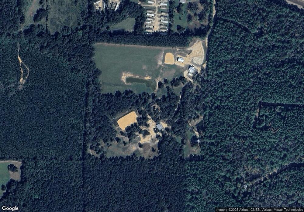
Map
Nearby Homes
- 0 Candy 27 86 A Ln
- 4134 U S 98
- 0 Candy 10a Ln
- 1059 Candy Ln
- 4022 Old Highway 24 Extension
- 02 Gibson Rd
- 03 Gibson Rd
- 01 Gibson Rd
- 5089 U S 98
- 1031 Beck St
- 000 Hwy 51 N
- 0 Gibson Rd and Fortenberry Cir Unit 4128519
- 1106 Harrison Dr
- 1135 Harrison Dr
- 4115 Old Hwy 24
- 2002 Sherwood Dr
- 2108 Joel Lang Rd
- 7020 Gibson Rd
- 1108 Sherwood Dr
- 4017 E Fernwood Rd
- 1040 Burris Ln
- 1060 Candy Ln
- 1038 Candy Ln E
- 11L Jc Lewis Trailer Park
- 4136 Highway 98 E
- 1023 Burris Ln
- 4134 98
- 1002 Helen Dr
- 4134 Highway 98 E Unit 98
- 4134 Highway 98 E
- 1049 Candy Ln
- 1 Candy Ln
- 000 Candy Ln
- 4147 Highway 98 E
- 5092 Candy Ln E
- 4153 Highway 98 E
- 4133 Highway 98 E
- 4090 Highway 98 E
- 4090 Highway 98 E
- 5145 Old Highway 24
Your Personal Tour Guide
Ask me questions while you tour the home.