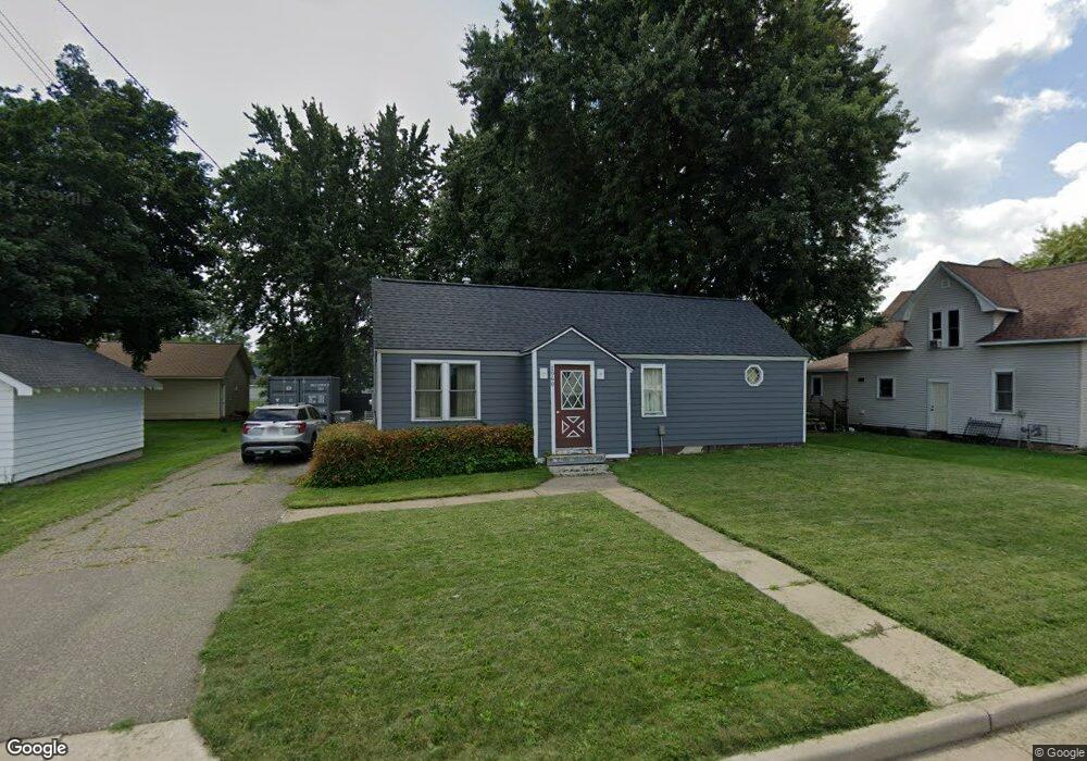
1060 Maple St Baldwin, WI 54002
Estimated Value: $177,920 - $250,000
2
Beds
1
Bath
--
Sq Ft
8,581
Sq Ft Lot
About This Home
This home is located at 1060 Maple St, Baldwin, WI 54002 and is currently estimated at $214,480. 1060 Maple St is a home located in St. Croix County with nearby schools including Greenfield Elementary School, Viking Middle School, and Baldwin-Woodville High School.
Ownership History
Date
Name
Owned For
Owner Type
Purchase Details
Closed on
Aug 8, 2023
Sold by
Murtha John P and Murtha Theresa
Bought by
Murtha Properties Llc
Current Estimated Value
Purchase Details
Closed on
Feb 18, 2013
Sold by
Murtha Properties Llc
Bought by
Murtha John P and Murtha Theresa
Home Financials for this Owner
Home Financials are based on the most recent Mortgage that was taken out on this home.
Original Mortgage
$71,250
Interest Rate
3.49%
Mortgage Type
New Conventional
Purchase Details
Closed on
Nov 26, 2008
Sold by
Zevenbergen John
Bought by
Murtha Properties Llc
Create a Home Valuation Report for This Property
The Home Valuation Report is an in-depth analysis detailing your home's value as well as a comparison with similar homes in the area
Home Values in the Area
Average Home Value in this Area
Purchase History
| Date | Buyer | Sale Price | Title Company |
|---|---|---|---|
| Murtha Properties Llc | -- | None Listed On Document | |
| Murtha John P | -- | None Available | |
| Murtha Properties Llc | $50,000 | Stewart Title |
Source: Public Records
Mortgage History
| Date | Status | Borrower | Loan Amount |
|---|---|---|---|
| Previous Owner | Murtha John P | $71,250 |
Source: Public Records
Tax History
| Year | Tax Paid | Tax Assessment Tax Assessment Total Assessment is a certain percentage of the fair market value that is determined by local assessors to be the total taxable value of land and additions on the property. | Land | Improvement |
|---|---|---|---|---|
| 2025 | $2,333 | $116,600 | $25,100 | $91,500 |
| 2024 | $22 | $116,600 | $25,100 | $91,500 |
| 2023 | $1,879 | $116,600 | $25,100 | $91,500 |
| 2022 | $1,853 | $116,600 | $25,100 | $91,500 |
| 2021 | $1,863 | $116,600 | $25,100 | $91,500 |
| 2020 | $1,812 | $82,500 | $18,800 | $63,700 |
| 2019 | $1,763 | $82,500 | $18,800 | $63,700 |
| 2018 | $1,604 | $82,500 | $18,800 | $63,700 |
| 2017 | $1,721 | $82,500 | $18,800 | $63,700 |
| 2016 | $1,721 | $82,500 | $18,800 | $63,700 |
| 2015 | $1,889 | $78,500 | $18,800 | $59,700 |
| 2014 | $1,708 | $78,500 | $18,800 | $59,700 |
| 2013 | $1,741 | $78,500 | $18,800 | $59,700 |
Source: Public Records
Map
Nearby Homes
- 1130 Florence St
- 1239 Newton St
- 1090 7th Ave
- 1210 14th Ave
- 720 Newton St
- 1230 Curtis St
- xxx Lot #3 38th St
- 1331 Franklin St
- 183 Pintail St
- 1621 Mallard Ave
- 1632 Mallard Ave
- 1629 Mallard Ave
- 1617 Mallard Ave
- 180 Pintail St
- 195 Pintail St
- 191 Pintail St
- 187 Pintail St
- 198 Pintail St
- Lot 15 Summit Cir
- 320 Bluebill St
Your Personal Tour Guide
Ask me questions while you tour the home.