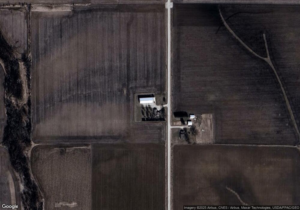
1060 Sable Ave Sumner, IA 50674
Estimated Value: $346,000 - $501,890
4
Beds
2
Baths
2,192
Sq Ft
$193/Sq Ft
Est. Value
About This Home
This home is located at 1060 Sable Ave, Sumner, IA 50674 and is currently estimated at $423,945, approximately $193 per square foot. 1060 Sable Ave is a home located in Bremer County with nearby schools including Durant Elementary School, Sumner-Fredericksburg Middle School, and Sumner-Fredericksburg High School.
Ownership History
Date
Name
Owned For
Owner Type
Purchase Details
Closed on
Mar 1, 2023
Sold by
Bolte Pauline A
Bought by
Wurzer Dale E and Wurzer Linda
Current Estimated Value
Home Financials for this Owner
Home Financials are based on the most recent Mortgage that was taken out on this home.
Original Mortgage
$826,930
Outstanding Balance
$801,062
Interest Rate
6.15%
Mortgage Type
New Conventional
Estimated Equity
-$377,117
Create a Home Valuation Report for This Property
The Home Valuation Report is an in-depth analysis detailing your home's value as well as a comparison with similar homes in the area
Purchase History
| Date | Buyer | Sale Price | Title Company |
|---|---|---|---|
| Wurzer Dale E | $915,000 | -- |
Source: Public Records
Mortgage History
| Date | Status | Borrower | Loan Amount |
|---|---|---|---|
| Open | Wurzer Dale E | $826,930 |
Source: Public Records
Tax History
| Year | Tax Paid | Tax Assessment Tax Assessment Total Assessment is a certain percentage of the fair market value that is determined by local assessors to be the total taxable value of land and additions on the property. | Land | Improvement |
|---|---|---|---|---|
| 2025 | $3,588 | $357,010 | $97,080 | $259,930 |
| 2024 | $3,588 | $300,290 | $78,340 | $221,950 |
| 2023 | $3,598 | $315,660 | $78,340 | $237,320 |
| 2022 | $3,526 | $255,510 | $62,390 | $193,120 |
| 2021 | $3,454 | $255,510 | $62,390 | $193,120 |
| 2020 | $3,454 | $245,160 | $60,440 | $184,720 |
| 2019 | $3,186 | $271,180 | $0 | $0 |
| 2018 | $3,042 | $271,180 | $0 | $0 |
| 2017 | $3,042 | $281,670 | $0 | $0 |
| 2016 | $3,014 | $281,670 | $0 | $0 |
| 2015 | $3,014 | $272,590 | $0 | $0 |
| 2014 | $3,068 | $272,590 | $0 | $0 |
Source: Public Records
Map
Nearby Homes
- 3074 Union Ave
- 0 Tbd Bare Land 110th St
- TBD Bare Land 110th St
- Lot 5 Schult Ridge & Lions Rd
- Lot 6 Schult Ridge & Lions Rd
- Lot 4 Schult Ridge & Lions Rd
- Lot 1 Schult Ridge & Lions Rd
- Lot 2 Schult Ridge & Lions Rd
- Lot 3 Schult Ridge & Lions Rd
- 402 S Washington Ave
- 119 Pearl St
- 109 Meadow Lane Dr
- 320 Yard Dr
- 340 Yard Dr
- 330 Yard Dr
- 325 Yard Dr
- 101 E 13th St
- 208 W 6th St
- 208 E 12th St
- 213 N Guilford St
Your Personal Tour Guide
Ask me questions while you tour the home.